Stormbruiser.com

William T. Reid

  • About
  • Video Links
  • Climate
  • Categories
    • Astronomy
    • Aurora/Northern Lights
    • Artsy
    • Airports (LAX and VNY)
    • Animal Day
    • Beach
    • BEST and MOST POPULAR
    • Chase Season Summary
    • Chasers and friends
    • Cumulonimbus
    • Death Valley
    • Desert
    • Desert/Mountains
    • Elevated photography
    • Eyesores
    • Fire
    • Flooding
    • Hurricane
    • Landscapes
    • Lightning
    • Local: Conejo Valley/San Fernando Valley
    • Mid and High Clouds
    • Nighttime photography
    • Old Stuff
    • Rainbows/Optical Phenomena
    • San Nicolas Island
    • Storm Video Sales
    • Stormy Skies
    • Stupid Bugs
    • Sunsets and Storms
    • Supercells
    • The City
    • Tornadoes
    • Unusual Clouds
    • Vegetation
    • Wind and Dust
    • Winter Weather
  • Contact
You are here: Home / 2006 / May 30, 2006 Cimarron County, OK supercell

May 30, 2006 Cimarron County, OK supercell

May 30, 2006 By Bill Leave a Comment

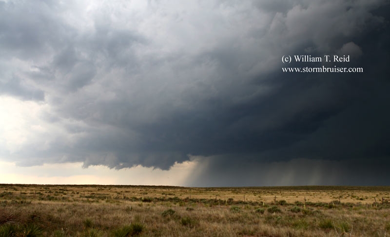
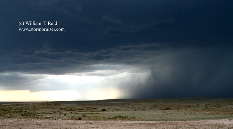
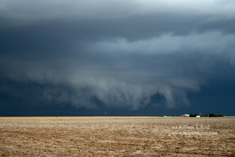
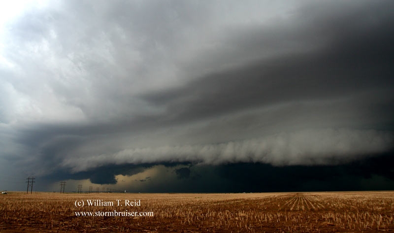
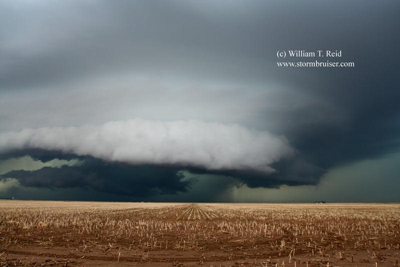
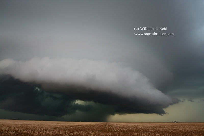
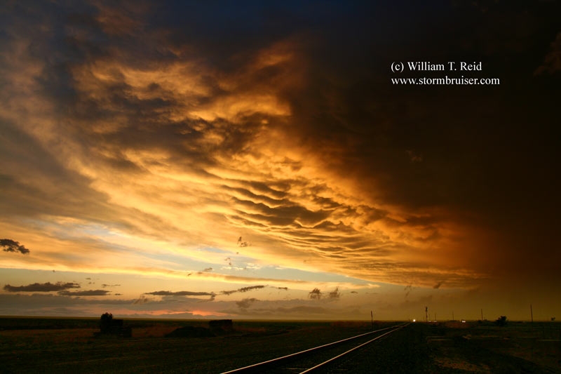
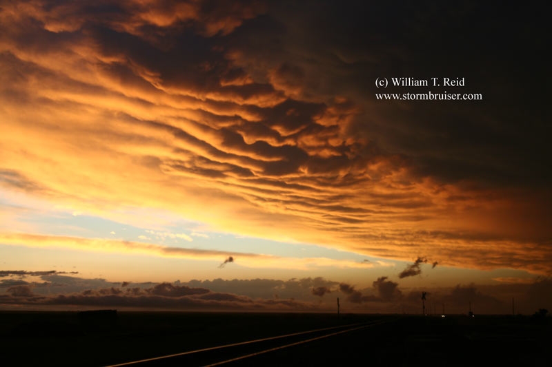
A decent updraft with a wall cloud developed to our southwest, in extreme southern Baca County, CO, west of 287. The storm moved east-southeast towards Keyes in northern Cimarron County, OK, and looked nasty, but it didn’t try to tornado again. The pretty sunset was at Stratford, TX.

30may_cimarron_ok_1114.jpg30may_cimarron_ok_1119.jpg30may_cimarron_ok_1129.jpg30may_cimarron_ok_1137.jpg30may_cimarron_ok_1140.jpg30may_cimarron_ok_1145.jpg30may_sratford_tx_1155.jpg30may_stratford_tx_1151.jpg30may_stratford_tx_1159.jpg30may_stratford_tx_1164.jpg

Filed Under: 2006, Sunsets and Storms, Supercells

Leave a Reply

You must be logged in to post a comment.

Search

May 2006
S M T W T F S
 123456
78910111213
14151617181920
21222324252627
28293031  
« Jan   Jun »

Categories

Archives

Copyright © 2025 stormbruiser.com ยท Log in