Stormbruiser.com

William T. Reid

  • About
  • Video Links
  • Climate
  • Categories
    • Astronomy
    • Aurora/Northern Lights
    • Artsy
    • Airports (LAX and VNY)
    • Animal Day
    • Beach
    • BEST and MOST POPULAR
    • Chase Season Summary
    • Chasers and friends
    • Cumulonimbus
    • Death Valley
    • Desert
    • Desert/Mountains
    • Elevated photography
    • Eyesores
    • Fire
    • Flooding
    • Hurricane
    • Landscapes
    • Lightning
    • Local: Conejo Valley/San Fernando Valley
    • Mid and High Clouds
    • Nighttime photography
    • Old Stuff
    • Rainbows/Optical Phenomena
    • San Nicolas Island
    • Storm Video Sales
    • Stormy Skies
    • Stupid Bugs
    • Sunsets and Storms
    • Supercells
    • The City
    • Tornadoes
    • Unusual Clouds
    • Vegetation
    • Wind and Dust
    • Winter Weather
  • Contact
You are here: Home / 2006 / June 19, 2006 N. Lincoln County, CO high-based gusters

June 19, 2006 N. Lincoln County, CO high-based gusters

June 19, 2006 By Bill Leave a Comment

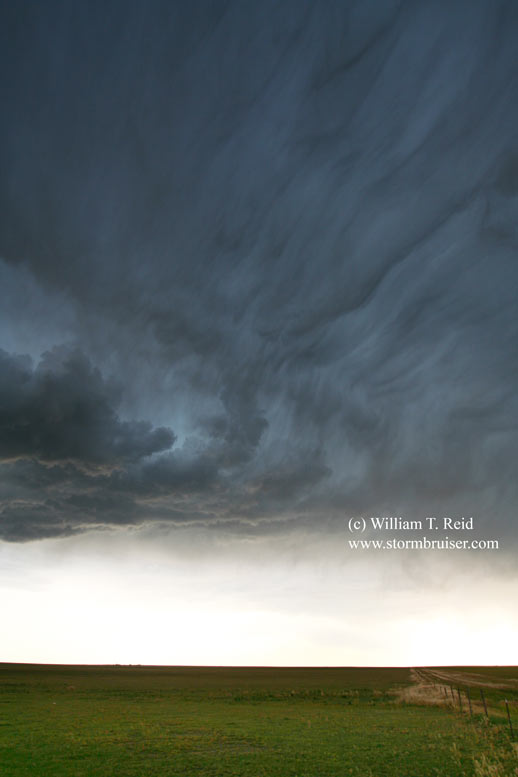
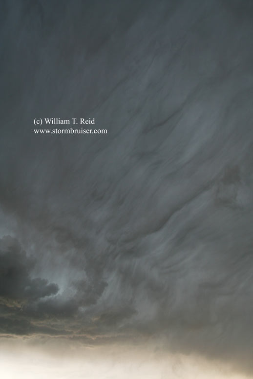
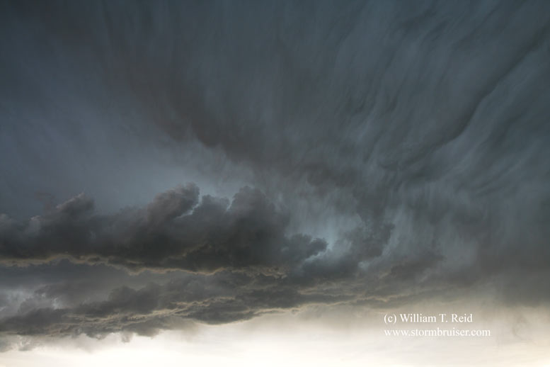
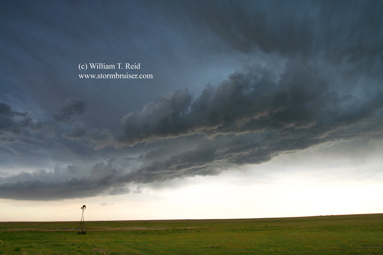
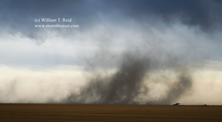
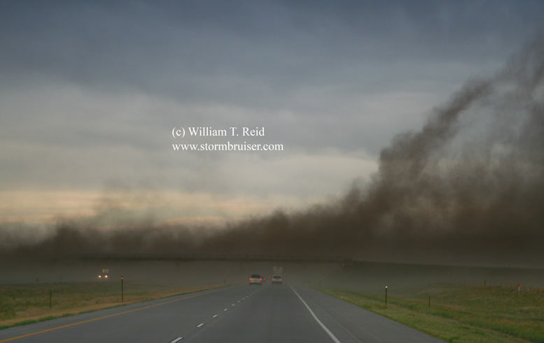
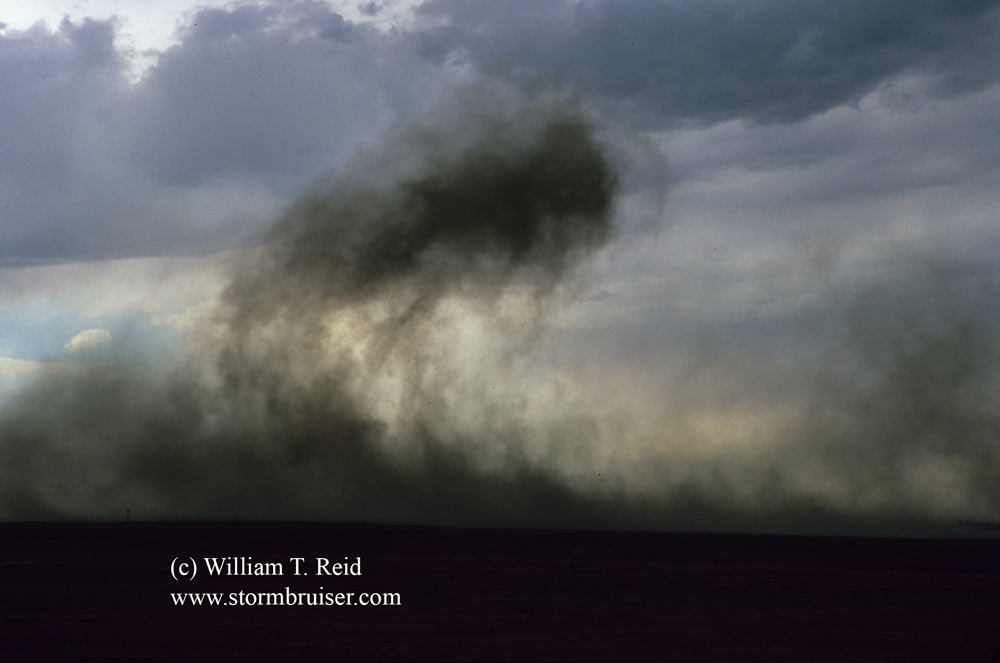
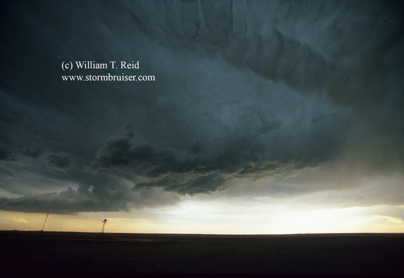
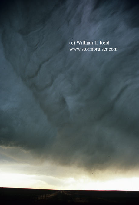
Eastern Colorado has been mired in a drought since the turn of the century, so the ground was dry on this day and low-level moisture was meager. The cells that formed were high-based and strange looking. The one along I-70 between Arriba and Flagler looked more like a jellyfish than a storm. Storms like these are virtually unknown, as chasers and the general public alike tend to avoid them in favor of cleaning silverware. The precip that fell evaporated readily and cooled its surroundings, according to the laws and by-laws of physics. This caused the air to slam the ground, forming tumbleweeds out of thin air and sending aerosols and particulate matter skyward. How many other storm-chase web sites use the term “particulate matter” anyway? You know darn well that you are on the best web site available when terms like “particulate matter” are employed.

19jun06_flagler_co_1460.jpg19jun06_flagler_co_1461.jpg19jun06_flagler_co_1462.jpg19jun06_flagler_co_1465.jpg19jun06_flagler_co_1476.jpg19jun06_flagler_co_1479.jpg19jun06_flagler_co_1481.jpg19jun06_flagler_co_1483.jpg


19jun06_flagler_co_1492.jpg19jun06_flagler_co_1494.jpg19jun06_flagler_co_1495.jpg

digital stills above, slides below

The first five stills below were taken in a span of about 30 seconds, as a dry microburst takes aim at the Colorado prairie. These views are to the north, near the dinky communities of Shaw and Thurman, Colorado.

19jun06_thurman_co_06r26.jpg19jun06_thurman_co_06r27.jpg19jun06_thurman_co_06r28.jpg19jun06_thurman_co_06r29.jpg19jun06_thurman_co_06r30.jpg


19jun06_flagler_co_06r35.jpg19jun06_flagler_co_06s01.jpg19jun06_flagler_co_06s06.jpg

Filed Under: 2006, Unusual Clouds

Leave a Reply

You must be logged in to post a comment.

Search

June 2006
S M T W T F S
 123
45678910
11121314151617
18192021222324
252627282930  
« May   Aug »

Categories

Archives

Copyright © 2025 stormbruiser.com ยท Log in