This was the first full day for Tour 7, and my driver was Brad Carter. Much like the first day of Tour 6 a week earlier, we began in Scottsbluff, NE, and the best risk of severe weather was well to the north, in northeastern Montana and western North Dakota. (A week earlier we tried in vain to reach the tornadic storm in southwestern Manitoba, winding up about an hour too late to catch that one). We had lunch in Chadron, and the surface weather data and forecast models suggested two target areas: the one up near the MT/ND border, and Chadron and vicinity. SPC’s forecast showed a slight risk for the northern target, largely because upper flow was decent up there. Flow was on the weak side for the northern NE Panhandle, but moisture was decent and a definite boundary with lots of convergence was evident. After lunch I debated the pros and cons for each target area. One plus for staying near Chadron was that we could easily reach the next days’ target area near the Sioux City area. It would be extremely difficult to do that if we wound up in Montana late on the 2nd.
I didn’t have a strong hunch one way or the other on this day. I elected to go for the north target, as tornado potential was quite a bit better up there. Unfortunately, we had a good six-hour drive ahead of us. Fortunately, sunset was about 9-10 hours away. We watched a pathetic LP-ish updraft sputter for a little while near Watford City, ND. Other stronger stuff was moving eastward in Montana towards the northeastern counties around Wolf Point. I asked the group if they wanted to go after that activity, even though it was unlikely that there would be much daylight remaining once we got there, and that it would make a chase to the Siouxland the next day out of the question. We decided that since we were already 80 percent of the way there, we might as well stick it out and go northwest, young man. At Williston we headed west on U.S. 2 into Montana’s Roosevelt County and Fort Peck Indian Reservation. Shortly after reaching the reservation, we saw some nice CG activity to the west, and we passed a lady who was crying next to the road because her “ride” had just abandoned her there. This was the middle of nowhere! Well, actually, it wasn’t too far from Culbertson, but she was outside, her boyfriend or whatever was speeding away, and storms, possibly severe, were brewing to the west. Not good.
Anyway, we’ll never know what happened to her.
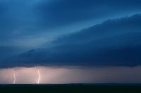
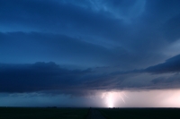
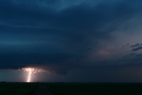
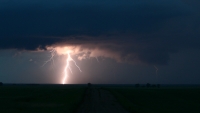
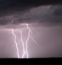
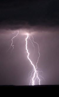
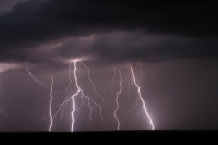
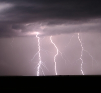
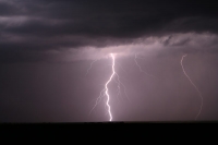
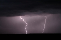
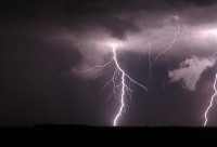
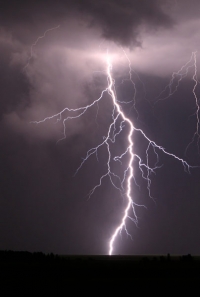
We neared the storms a little after sunset (after 9 p.m. MDT), and a good one was close to Hwy 2 west of Brockton. I took a road north a mile or two (not sure if it was 344 or 251) and stopped to set up. The cell to the west looked pretty good, with smooth striations, a bit of a lowering on the right side of the updraft base, and a good deal of CG activity. It was going to be a good show and a fantastic opportunity for some lightning photography.
I got some decent shots, including one where the lightning may be illuminating a slender funnel cloud beneath a prominent lowering. Or, the “white filament” is actually lightning. It is difficult to determine. A cell in the county north of us was tornado-warned a little later on, and our storm looked to have a rotating updraft, so a small tornado was certainly not out of the question.
As the activity neared it forced us to blast east, and we played tag with some heavy rain and lots of lightning on the way to Williston for the night. Beautiful thunder blasts crashed through the motel lobby as we checked in, and Brad didn’t seem to be too excited about being out there unloading the van.
As it turned out, a severe cell moved SE through the northern NE Panhandle on this evening. It was likely an awesome storm with gorgeous structure during daylight hours….and we WERE in perfect position to see its eventual development while we were enjoying lunch in Chadron. I was somewhat perturbed that I had elected to go for the MT/ND target and did all of that driving just for a nighttime storm, but that’s how it goes sometimes. On another day, it might be a big tornado event for the northern target in the stronger shear, and I don’t want to be sitting two states farther south watching an HP cell without a tornado should that occur. I did manage some cool photos in the fading light, and maybe even a pic of a funnel or tornado, so I can’t complain too much! On the 3rd we had to blow off the Siouxland target (where there were some supercells, but no tornadoes), and we motored all the way south to northeastern Colorado and saw some unimpressive storms south of Iliff. (See last image below.) It had been a long two days already, and I was glad to get to the motel in Burlington.
additional lightning images from Brockton, MT:
small updraft south of Iliff, CO, on July 3…this day does not deserve its own entry, so there



Leave a Reply
You must be logged in to post a comment.