
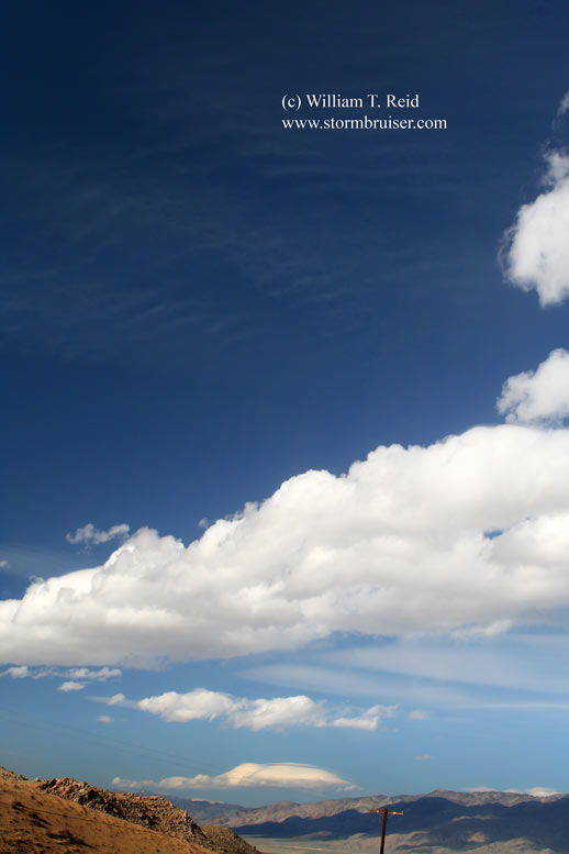
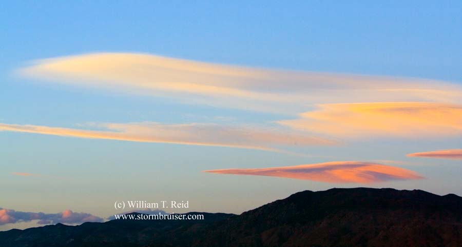
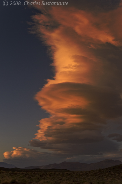
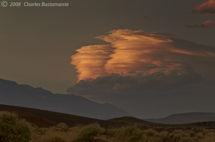
 Charlie B. and I took a day trip into the deep basins three hours north of L.A. —- the Panamint and Owens valleys. We were hoping for some nice photo ops of some lenticular (wave) clouds in the lee of the Southern Sierra as a fast westerly flow aloft developed over California. Unfortunately, the flow wasn’t quite as strong as originally forecast, and we wound up with some run-of-the-mill wave clouds at sunset near Independence.
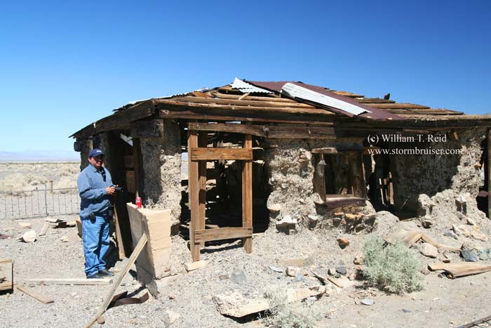
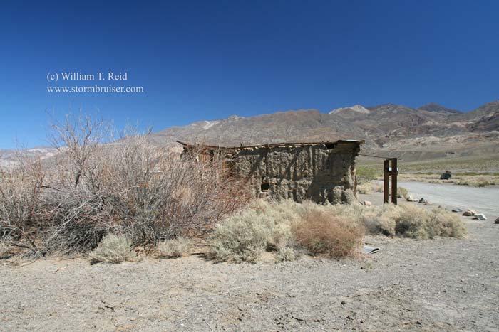
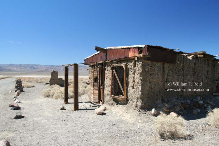
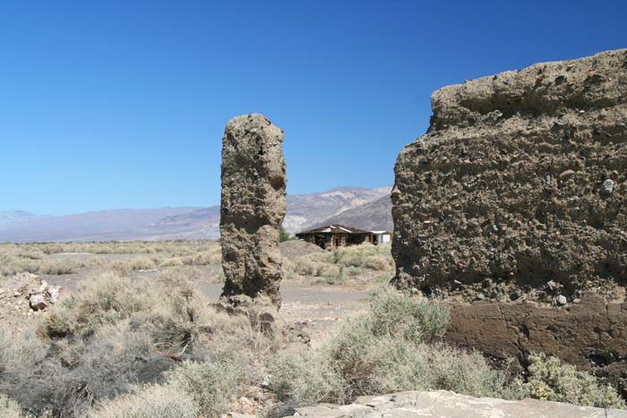
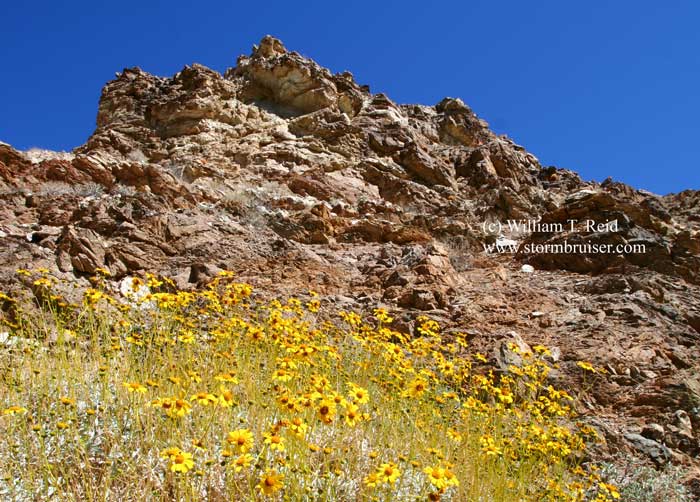
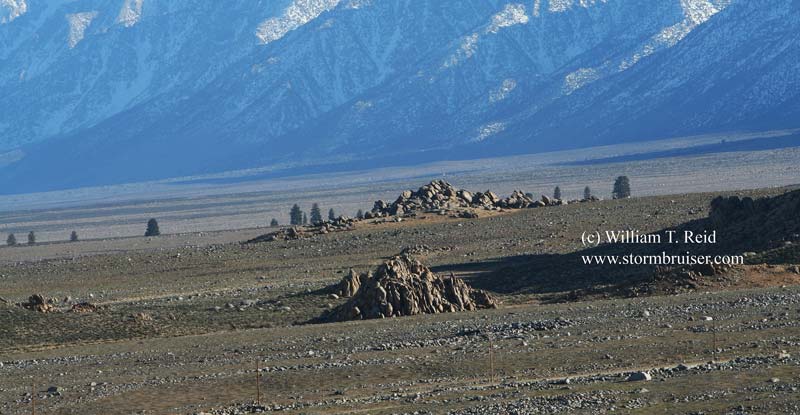
On the way north we visited Garlock, Trona and Ballarat. Garlock is a ghost town west of Randsburg, but is fenced off. Trona is a bustling mining town along Searles Lake. Ballarat is an old ghost town in Panamint Valley, except that one or two folks live there currently and provide refreshments and information at a small store.


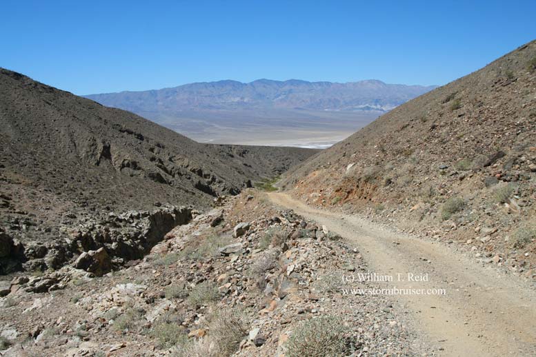
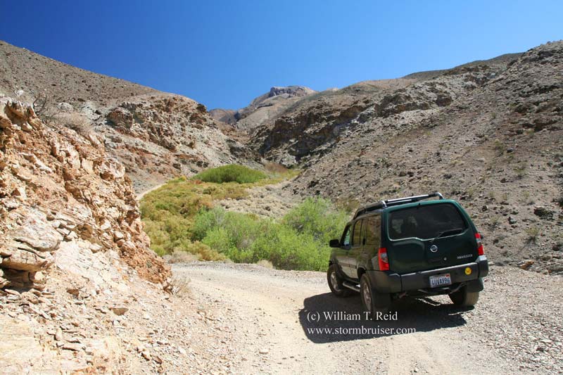
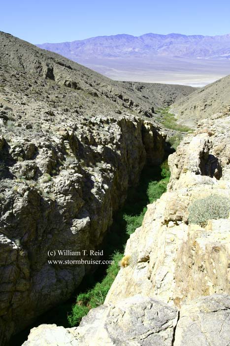
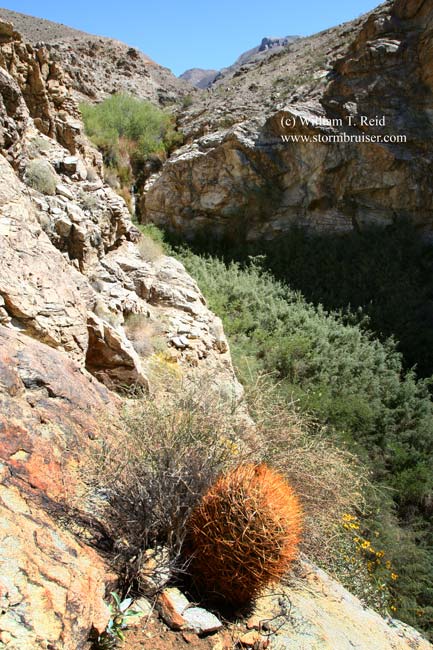
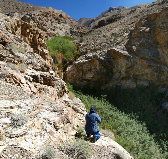
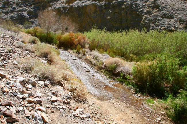
From Ballarat, we moseyed eastward up Pleasant Canyon. My 2WD vehicle made it about 3 miles into the canyon before the road became a bit too steep and wet and rugged to proceed. We spent some time with the cameras at a very pretty “narrows” area with a waterfall.
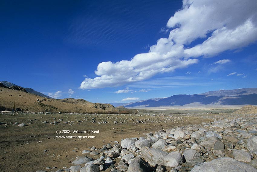
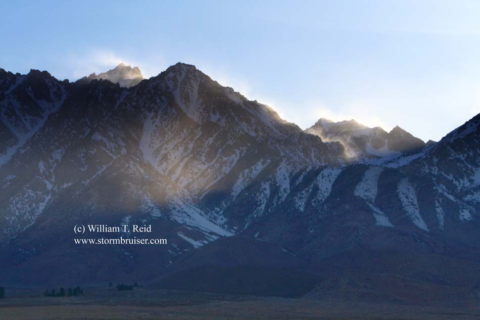
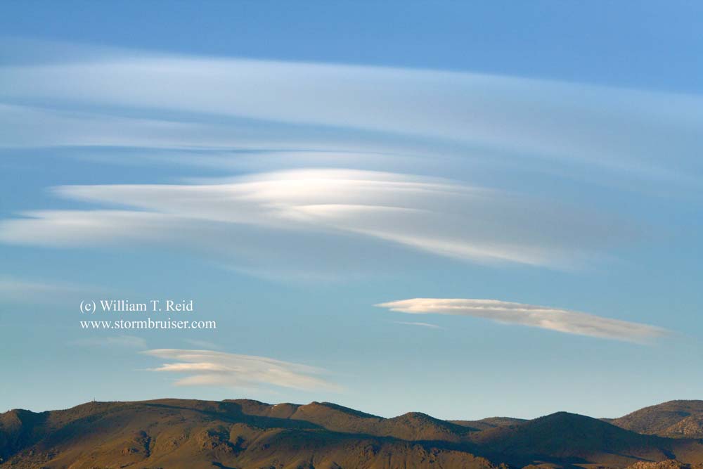
The next photography stop was along a road that went west from U.S. 395, about four miles west of Independence. The road ended at a gate to “Bright Ranch”. Occasional large plumes of dust were being kicked up in the side canyon to the north, with smaller plumes in our canyon (South Oak Canyon) to the west. Farther up the slopes towards the crest was plenty of wind-whipped snow. Our attention was on a persistent lenticular cloud just to our south. Unfortunately, it didn’t stick around to catch the colors near sunset.
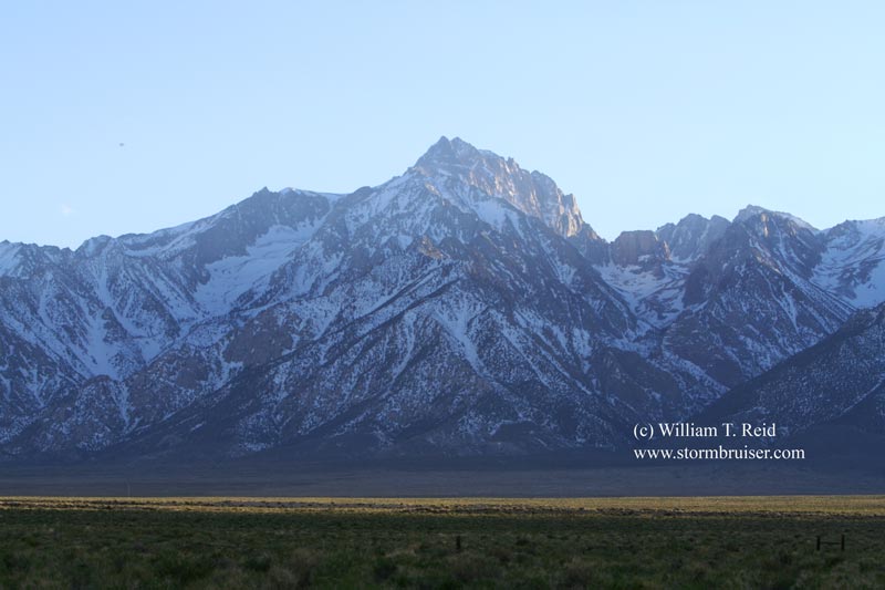
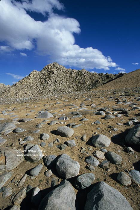
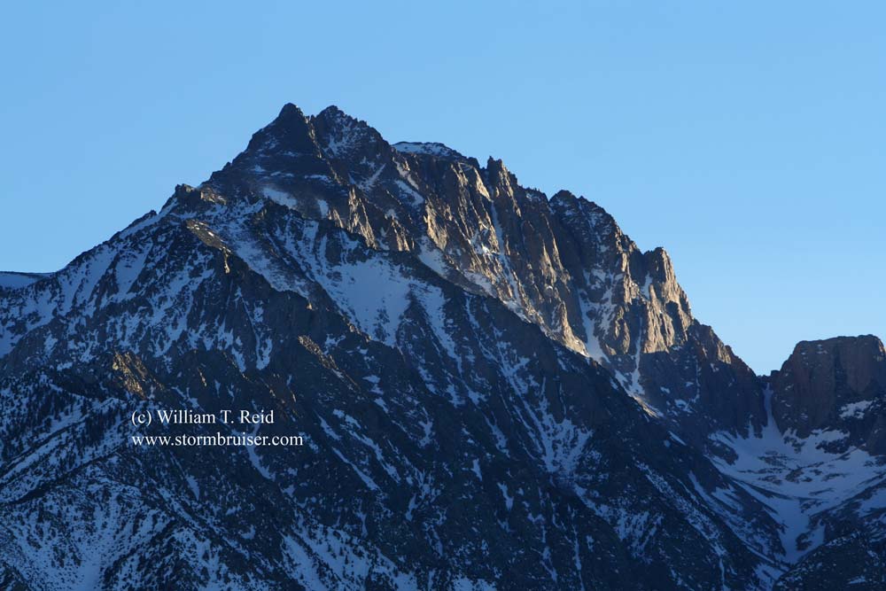
The imposing summit of Mount Williamson stood to our south-southwest. North of Mount Whitney, it is the second highest peak in California and the sixth highest peak in the Lower 48. Its summit is at 14,389 feet, according to Wikipedia. A little closer to Owens Valley, Mount Williamson is visually more impressive than Mount Whitney from U.S. 395.
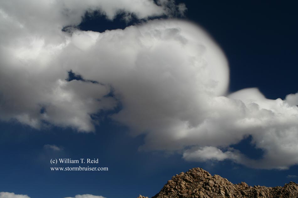
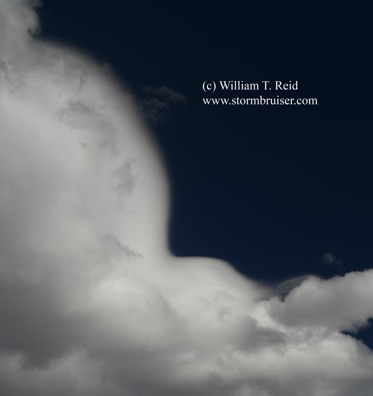
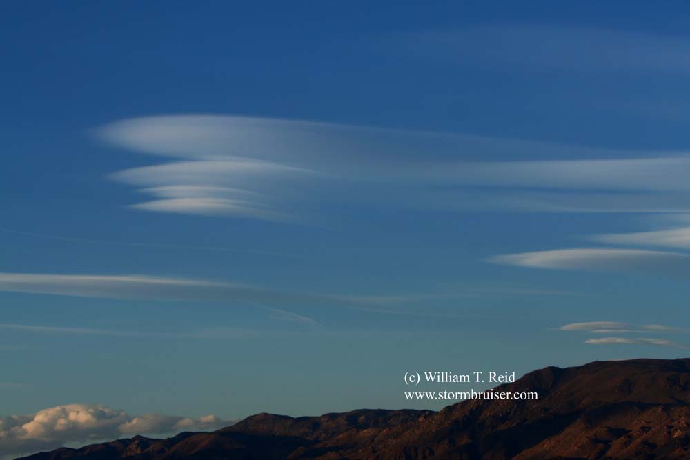
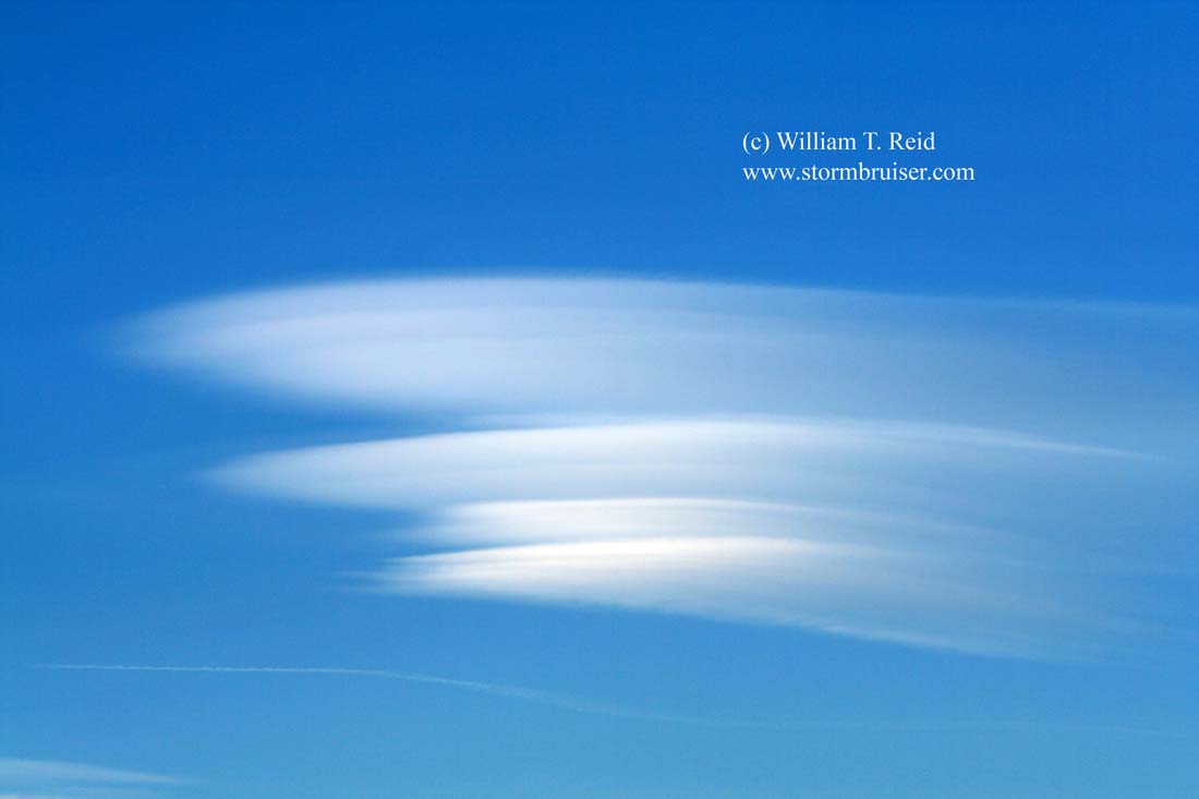
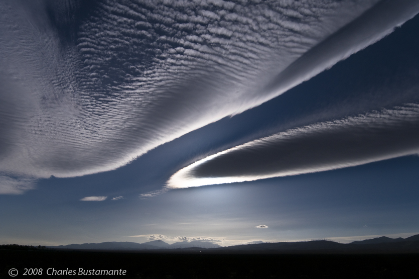
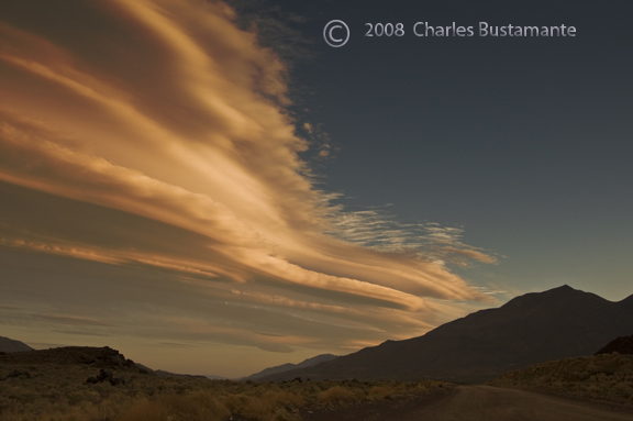
Note the “rippling” wave clouds high in the sky in the second image below. They are fairly dim. These might be called cirrocumulus standing lenticular, or “ccsl.”
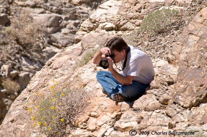
Images below courtesy of Charles Bustamante
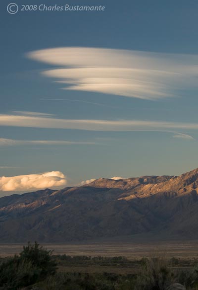

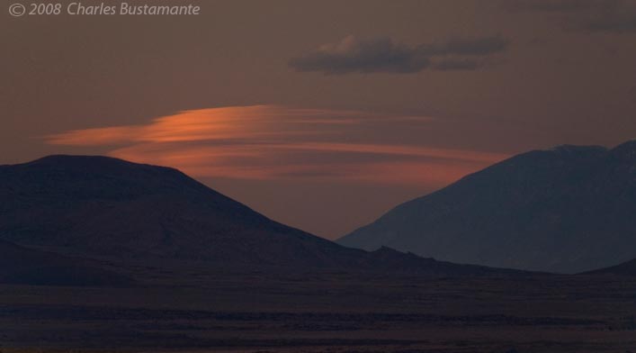
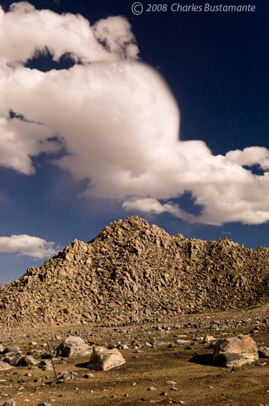
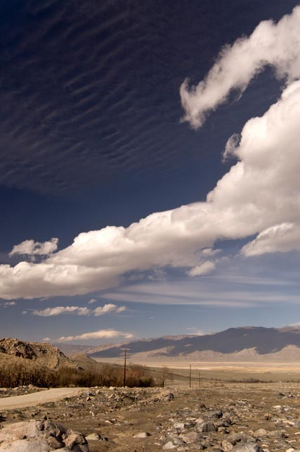
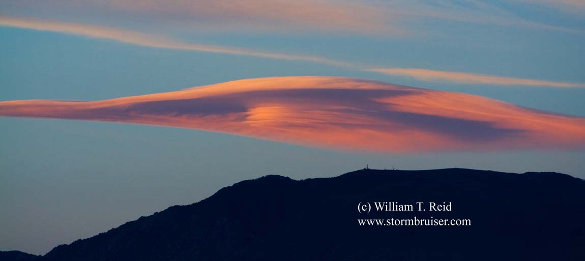
Images below from March 29, 2008, courtesy of Charles Bustamante. These lenticular clouds were photographed from near the south end of the Owens Valley and the Mojave area.
Leave a Reply
You must be logged in to post a comment.