Stormbruiser.com

William T. Reid

  • About
  • Video Links
  • Climate
  • Categories
    • Astronomy
    • Aurora/Northern Lights
    • Artsy
    • Airports (LAX and VNY)
    • Animal Day
    • Beach
    • BEST and MOST POPULAR
    • Chase Season Summary
    • Chasers and friends
    • Cumulonimbus
    • Death Valley
    • Desert
    • Desert/Mountains
    • Elevated photography
    • Eyesores
    • Fire
    • Flooding
    • Hurricane
    • Landscapes
    • Lightning
    • Local: Conejo Valley/San Fernando Valley
    • Mid and High Clouds
    • Nighttime photography
    • Old Stuff
    • Rainbows/Optical Phenomena
    • San Nicolas Island
    • Storm Video Sales
    • Stormy Skies
    • Stupid Bugs
    • Sunsets and Storms
    • Supercells
    • The City
    • Tornadoes
    • Unusual Clouds
    • Vegetation
    • Wind and Dust
    • Winter Weather
  • Contact
You are here: Home / 2008 / May 8, 2008 Jetmore, KS supercell

May 8, 2008 Jetmore, KS supercell

May 8, 2008 By Bill Leave a Comment

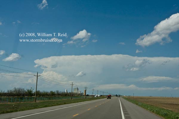
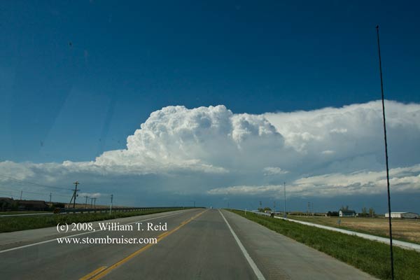
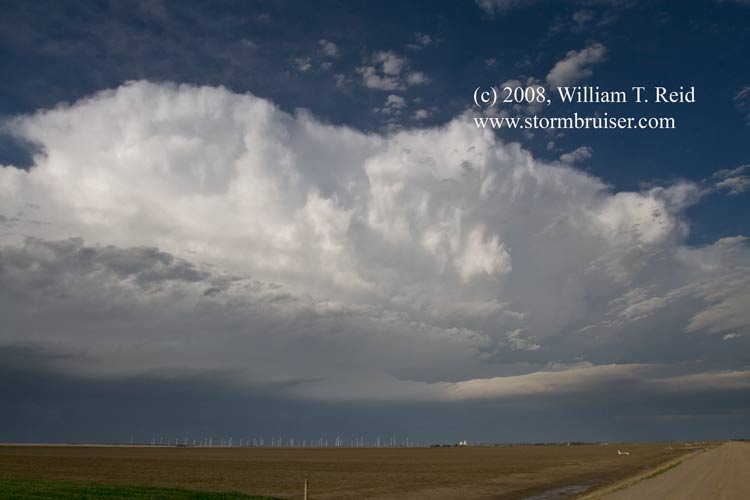
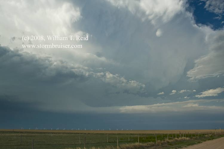
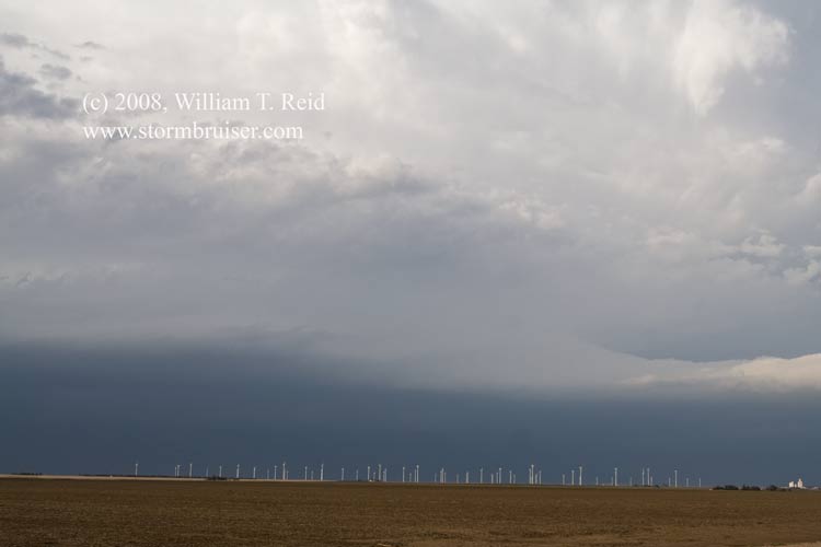
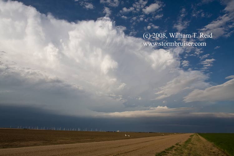
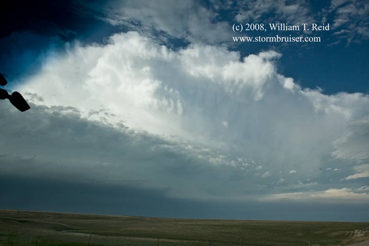
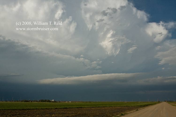
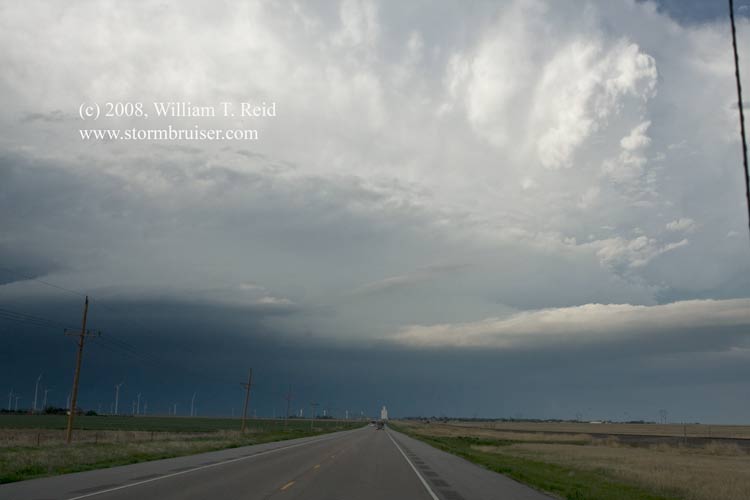
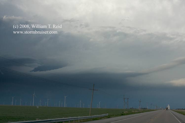
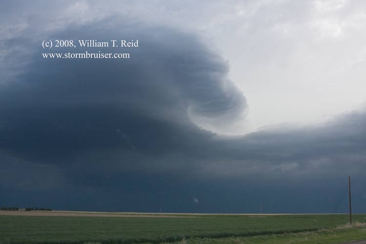
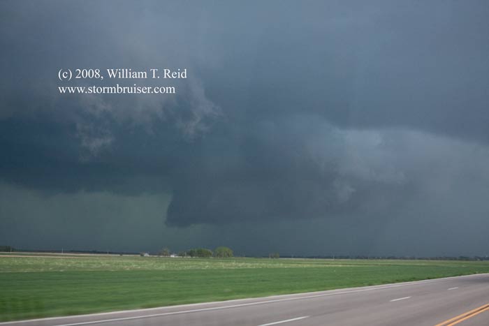
Also known by precious few as the famous Shallow Water/Jetmore/Kinsley supercell, this storm began its life by spitting out landspout-type tornadoes in Wichita County, KS, near Selkirk, between 2:30 and 3:00 CDT.  The storm moved east to ESE and evolved into a beautiful sculpted supercell, but (apparently) did not produce any other tornadoes.  Here is my account, written a week or so after the event:

—-

Back north into Kansas!  Even though we drove quite a bit the previous evening to be nearer to today’s target, we weren’t even close to seeing the nice landspout-type tornadoes which developed near Selkirk, KS, around 2 or 3 p.m. CDT.  Not long after lunch in Pampa. we could see the associated cumulonimbus clouds to our north — 175 miles away!  It was not fun seeing the counties light up red (for tornado warning) while still three hours away.  We pressed on northward on U.S. 83.  The landspouts ended and a new cell developed a little closer, and moved east-southeast towards Shallow Water in Scott County, KS.  We managed to position ourselves right in front of this beast on a dirt road near the triple point of Lane/Finney/Scott counties.  There was a lot of  up and down motion and a lowered “area of interest”, but cool outflow hit us before we would have liked, suggesting that the tornado threat was not great at the moment, presumably.  The ugly jaws of the updraft base chased us east and south to Kalvesta.  This supercell looked quite nice on radar, but it wasn’t “tornadoing” for us.  We managed to get to Jetmore and then south before that town was hammered by the hail core.  As we dropped south we had several great views of the overall structure.  We dropped all the way south to Spearville and east to Kinsley.  By this time the cell was moving more easterly, and numerous other cells were competing for the juice.   We observed a metal roof on the ground on the south side of Kinsley.  Perhaps very strong inflow had carried it away from where it belonged.  We drove behind the main cell on the northeast side of Kinsley and found hailstones from one-to-two inches in diameter littering the muddy fields.  (Hail to 2.50″ was reported north of Jetmore and north of Kinsley with the storm.)  That was cut short as a new cell approached.  Just as we found a protective covering in Kinsley, the town was blasted by another round of wind and hail and heavy rain.  Right at sunset we were headed west out of Kinsley.  A bunch of cows were wandering onto the highway, and we narrowly avoided one.  A minute later we passed a big rig charging the opposite direction towards the cows at about 70 mph.  I wonder what transpired….

 
After 524 miles we were back at the Applebees and Super 8 in Dodge City.

08may08_finneyco_ks_cb_4967.jpg08may08_finneyco_ks_cb_4972.jpg08may08_finneyco_ks_sc_0861.jpg08may08_finneyco_ks_sc_0847.jpg08may08_finneyco_ks_sc_0855.jpg08may08_finneyco_ks_sc_0853.jpg08may08_finneyco_ks_sc_4975.jpg08may08_finneyco_ks_sc_4978.jpg08may08_finneyco_ks_sc_4981.jpg08may08_finneyco_ks_sc_4982.jpg08may08_finneyco_ks_sc_4985.jpg08may08_finneyco_ks_sc_4989.jpg

Filed Under: 2008, Cumulonimbus, Supercells

Leave a Reply

You must be logged in to post a comment.

Search

May 2008
S M T W T F S
 123
45678910
11121314151617
18192021222324
25262728293031
« Apr   Jun »

Categories

Archives

Copyright © 2025 stormbruiser.com · Log in