
This was a long day, as I began in Storm Lake, IA, and had to meet Brian and the Tour 5 group in Lincoln, NE. Brad and I dropped the private tour group off at the airport in Omaha, and Brad continued back home to Denver.
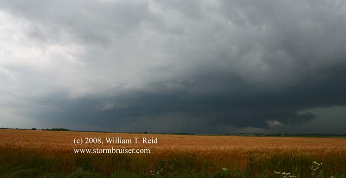
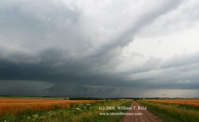
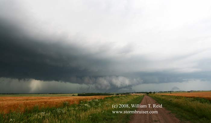
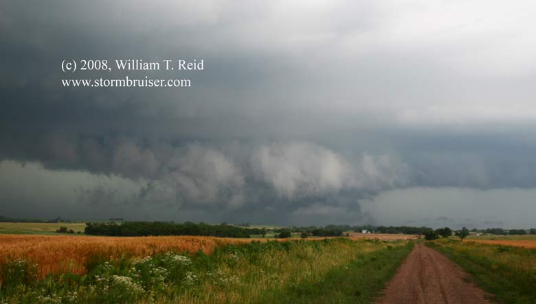
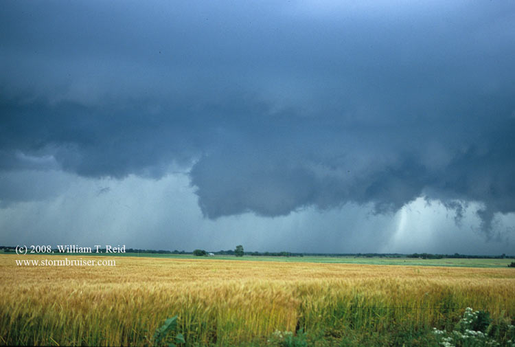
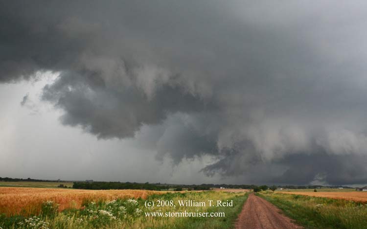
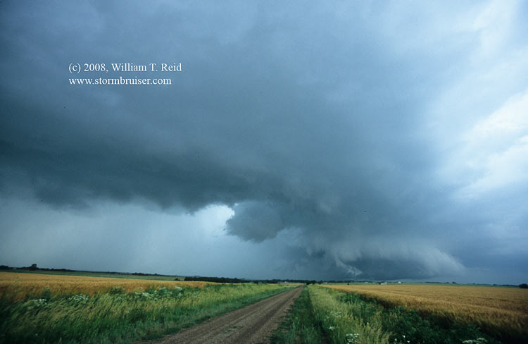
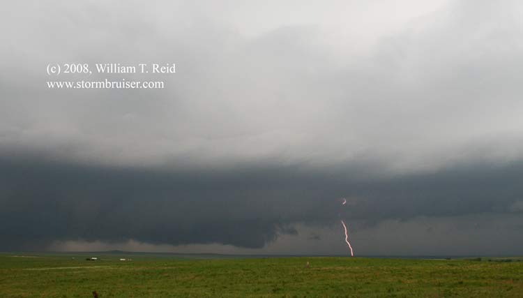
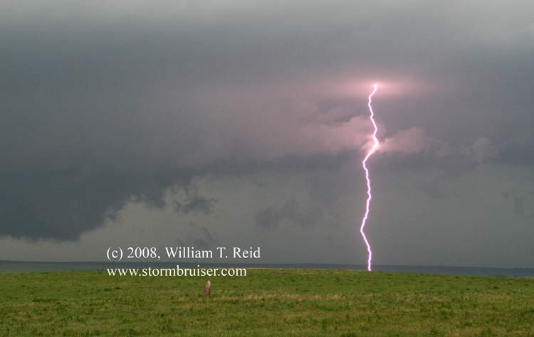
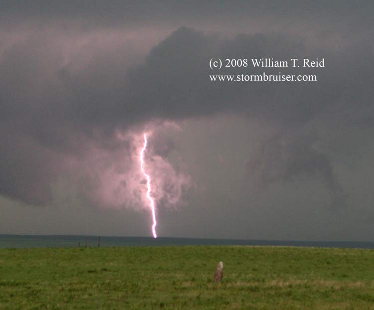
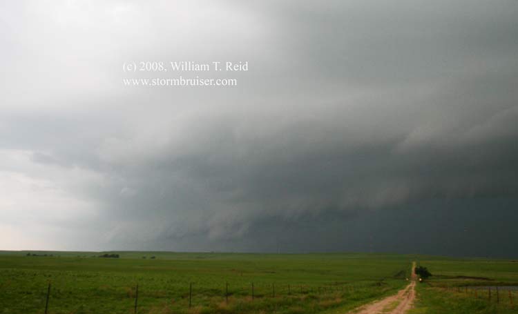
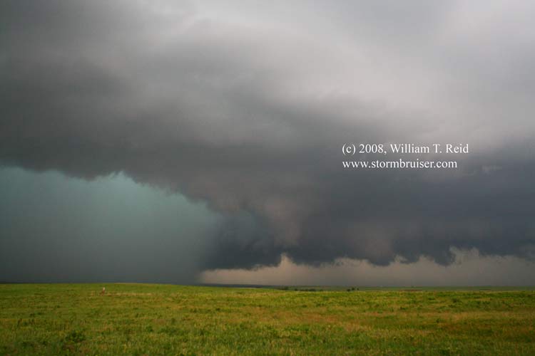
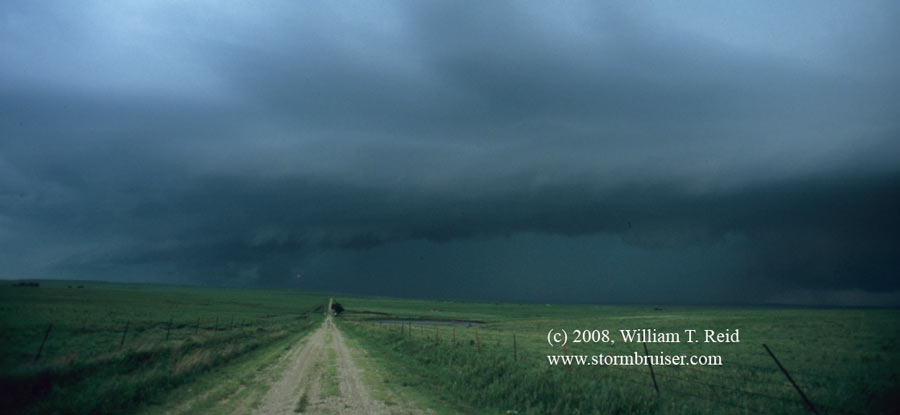
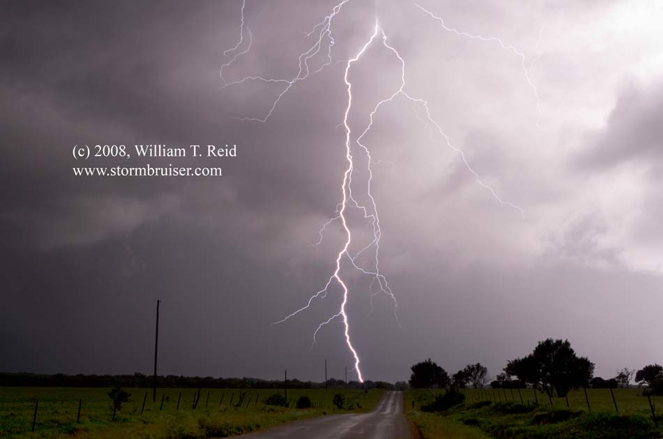
Brian had a good handle on the forecast—we needed to drop south into eastern Kansas, around Emporia. Storms were waiting for us when we reached Emporia. A supercell updraft looked very impressive to our west as we made our way around Emporia, and the storm apparently tornadoed near Cottonwood Falls. We went north of Plymouth a bit and had a look at the storm’s base. It had that tornadic look to it, but it was no longer interested in producing the goods. Another cell or two developed west-southwest of ours, and we soon had several supercells seeding the ones in front of them. A tail-end cell near Wichita was probably the best of the bunch structure-wise, but we stayed with the cells coming up through Chase County. We were west of Olpe for quite a while trying to get some repeater CGs with the HP cells, and then dropped south to Madison and Hamilton on 99 to avoid the storm cores. One highlight was just south of Olpe, as a mini-CG barrage chased us south. I saw sparks from one apparent lightning strike fly off of a power pole just to my right as we drove south, and horses nearby did not appreciate that. The funny thing was that I didn’t hear a loud crash of thunder with the sparks. We wrapped up the evening by shooting lightning on the west side of Hamilton. I was anticipating some bolts perhaps 4-5 miles to the west when one CG hit about a mile or two west, right down the road I was shooting! Fortunately my shutter wasn’t open too much (f 8.0, 16 seconds, ISO 100) and the shot came out okay.
Leave a Reply
You must be logged in to post a comment.