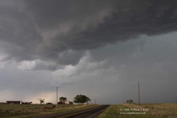
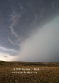
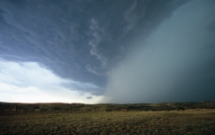
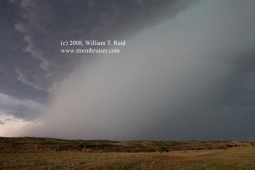
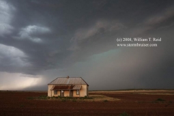
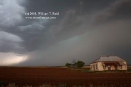
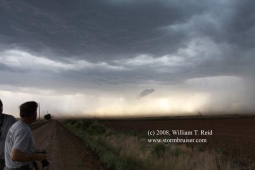
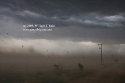
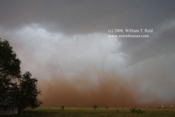
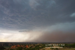
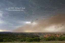
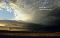
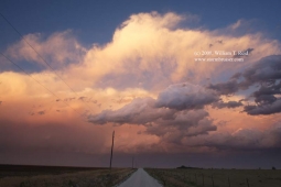
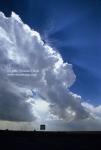
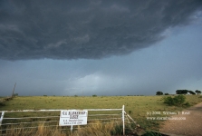
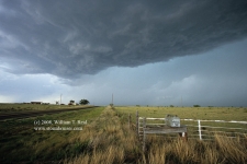
…which, as everyone knows, stands for “southeast Texas Panhandle cumulonimbus”. Our target area on this day was along I-40 between Shamrock and Amarillo. And, the atmosphere made me look brilliant as strong cells developed not too far northeast and east of Amarillo by mid-afternoon. We played the cell which went up along I-40 just west of Groom. Mid-level flow was WNW-NW, and when the updraft began rotating, the cell propagated southward. Temp/dew point spreads were fairly large, so the tornado threat was minimal. We sat beneath the base for a little while and caught some 1.25-inch hail stones, six miles southwest of Groom. The cell became rather electrified, and as the CG rate increased, we were chased south on 294 to 287. It would have been nice to have had a road which went due south from here, but the Palo Duro Canyon persists with its incessant gouging of the terrain. The jog ESE to Clarendon on 287 took us way out of position on the storm, but it wasn’t a big deal as the cell was high-based and slow-moving. As we dove south towards Turkey through Hall County, the cell decided it was time to start dumping copious amounts of precipitation through its updraft base. The heavy rain through the dry low-levels caused plenty of evaporation and cold outflow, which, in Hall County, TX, equals strong winds and dust. The dusty outflow blasted us somewhere near Brice, briefly reducing visibility to 25-50 feet. At one point we were in the van and getting blasted by dust, next to a large tree at a stop sign. Suddenly, a swarm of butterflies was hovering right in front of us as we were stopped…but why weren’t they being blown southward at 45 mph?? Were these some sort of magic butterflies? The storm structure and the resultant dust plume south of the updraft were somewhat photogenic and not entirely uninteresting for a bit, but the cell gradually diminished in intensity as it moved SSE. Slide image 08Hb32 below is interesting in that it nicely depicts the cell’s dust-filled cold pool.
We came back up onto the Caprock just before sunset to catch (or was it to “kill”?) a tail-end cell north of Floydada. It fared poorly, but at dusk we had more photo ops to our east and south, from a spot near Cone, TX…or were we as far south as Ralls? Who knows? Only my hairdresser knows for sure.
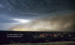
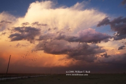
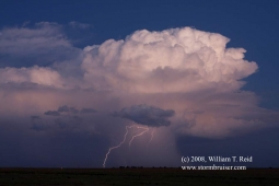
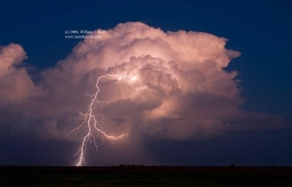
CG image 2156 was ISO 100, f7.1, 2 sec; and CG image 2160 was 12 minutes later, ISO 100, f4.0, 5 sec.

Leave a Reply
You must be logged in to post a comment.