
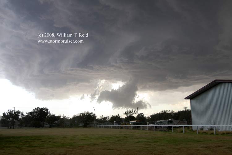
After lunch at a lovely Mexican Restaurant in Pampa, we drifted north towards the extreme northeastern corner of the Texas Panhandle. We sat under a tree near Darrouzet, facing east. The cell connection here was weak…entirely unacceptable. We saw another tree a little to the east and parked under it. As we looked back west to the other tree, it looked like it was ready to fall over, so we were much safer now with an extra bar of cell coverage, too. Cumulus clouds developed into CBs not too far to our northwest, between Beaver, OK, and Booker, TX. We sat beneath a relatively high updraft base for perhaps 90 minutes. The cell did not seem to want to move or strengthen considerably.
We wandered around beneath the base and looked for some hail without success. There was a nice little RFD cut into the rear-end of the base, but overall the cell was becoming somewhat tiresome. I grew impatient and elected to drift north into Beaver, in part for a convenience store break, and in part to get a better look at a cell north of town. Naturally, as we got into Beaver, a tornado warning was issued for the cell we had been attached to for nearly two hours! The action area was now maybe 15-20 miles to our SSW—not too far. We blasted back south through a little core precip and found ourselves east of a menacing and prominent storm base, which was just west of Elmwood and moving south at 10 mph.
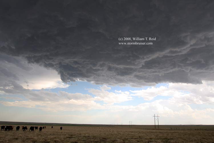
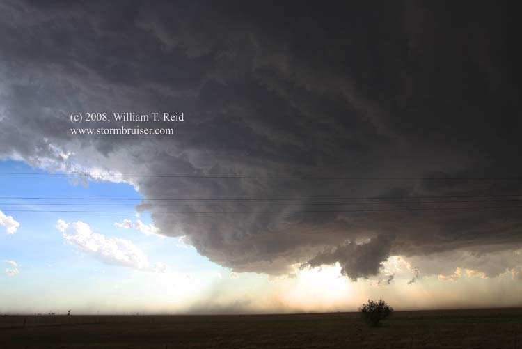
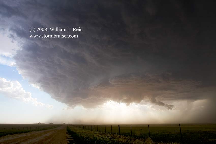
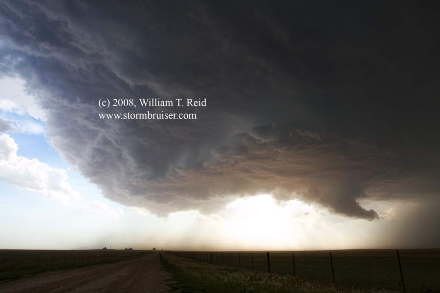
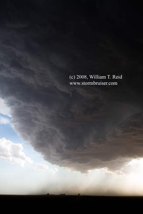
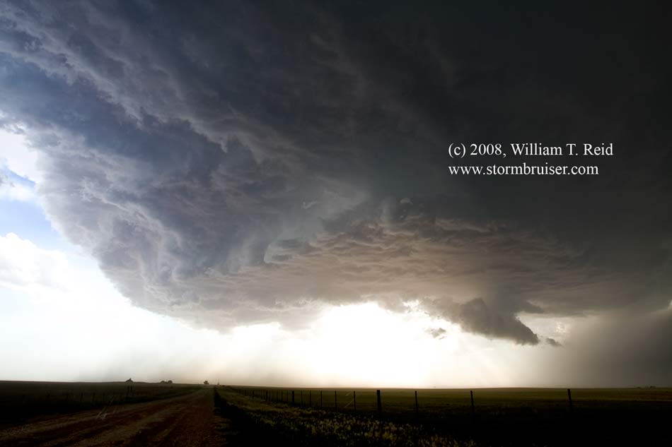
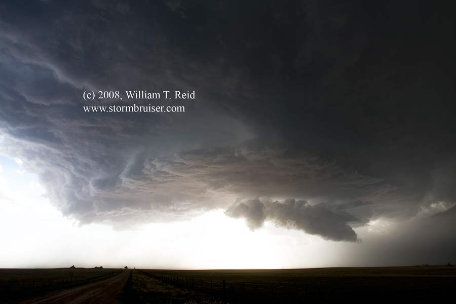
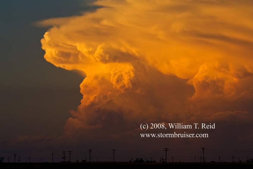
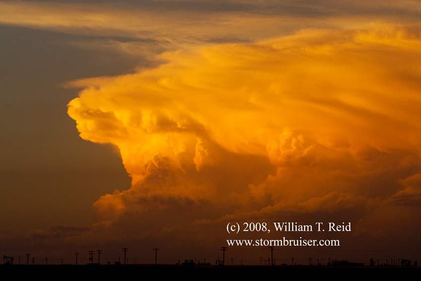
I had Brian pull off onto a side road and facing west towards the nice updraft base. There was a little wall cloud and plenty of dust beneath the base, and what might have been a brief spin-up or two without a condensation funnel. Easterly inflow at our location was very nice—about 30 mph! This whipped up the dust and dirt along the road, and we crouched in front of the van to stay out of the filth. The storm base/structure images below are looking west down that road, northwest of Booker, TX.
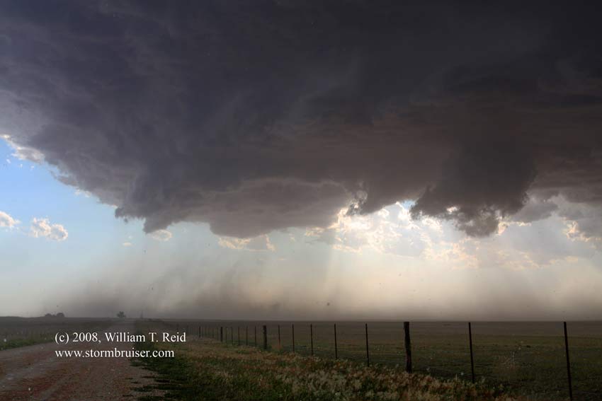
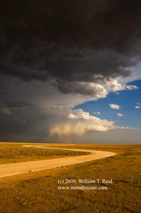
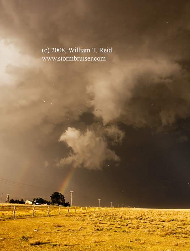
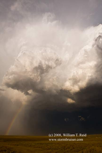
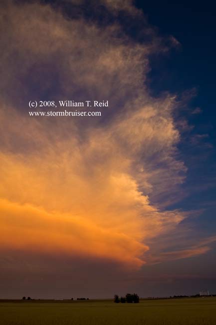
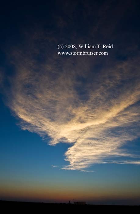
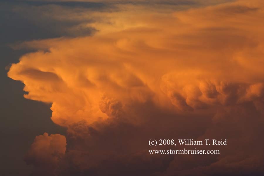
The cell continued south and made a feeble attempt at a funnel cloud as we looked up into the RFD/updraft interface. It was quite dramatic, but the base was still rather high, and the cell weakened. We were left with some pretty photo ops on the west side of the cell near sunset, and later had a distant view of a strong cell well to the north, near Dodge City.
Leave a Reply
You must be logged in to post a comment.