
A strong cell became established somewhat early in the afternoon south of Ogallala, and dove SE towards McCook. We blasted east from Wray and plunged into its core right at McCook, where it was tornado-warned, but obviously was an outflowing beast with near-zero tornado chances. Here is my summary as penned for the super-secret private chaser society:
—
As noted in our NOW posts from 6-18, Brian and I managed to get to McCook from the west just as the storm did, and just as the tornado warning was issued. We were blasted by rain-filled north winds and sat on the south side of the WalMart for about ten minutes. The tornado was reportedly a half mile NW of McCook at the time we were rolling into McCook. Visually, all we saw was heavy rain core NW and N of town.
There was still plenty of daylight remaining, so we targeted some cells firing along an E-W outflow boundary in NE Custer County, about 100 miles to our NE. About 2 hours later we were approaching Kearney on I-80, watching a very nice isolated supercell to our northeast. It was moving SSE towards Kearney, and we were afforded occasional views of its lower portions. Though it was still 20 miles or so to our NNE, the low-level structure was about the best I have seen this season, featuring a multi-flanged look on the eastern side of the updraft base. I was agonizing as we made our way north at 35 mph through Kearney. Why couldn’t we be there NOW?! So, as we cleared Kearney and finally got a good view of the updraft, still about ten miles to our north, it was disintegrating. Five minutes later and the storm was a lousy pathetic lame-o mushball.
So, the story of today was “too little too late,” or “don’t count your chickens before the fat lady sings.”
—
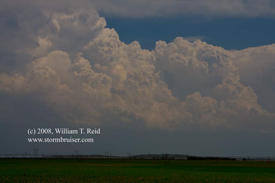
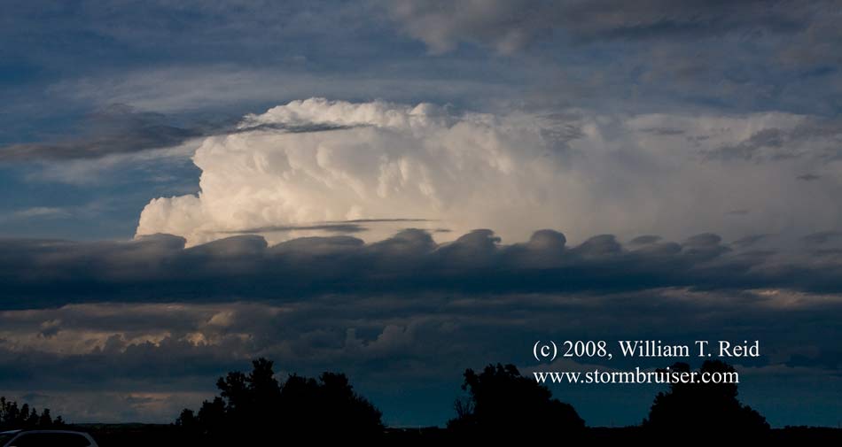
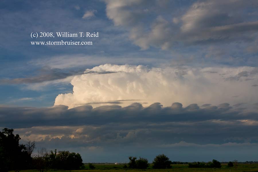
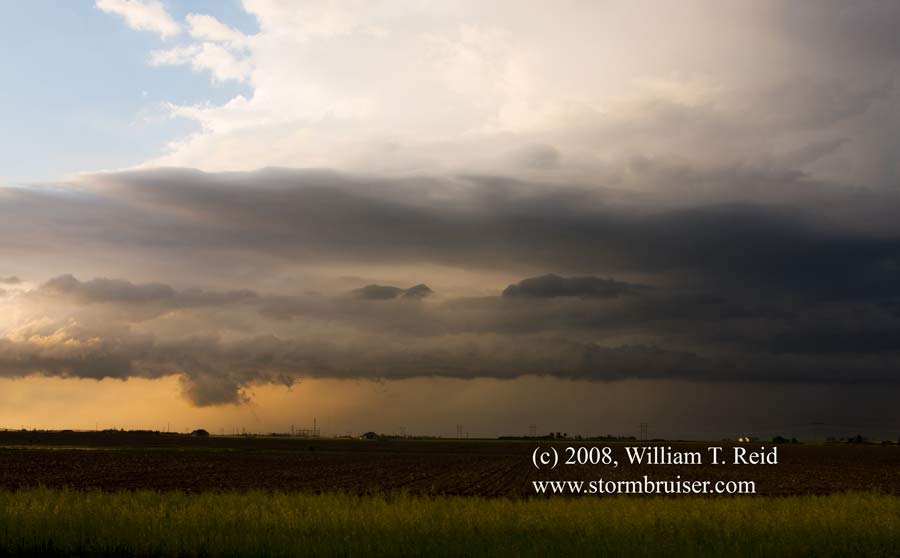
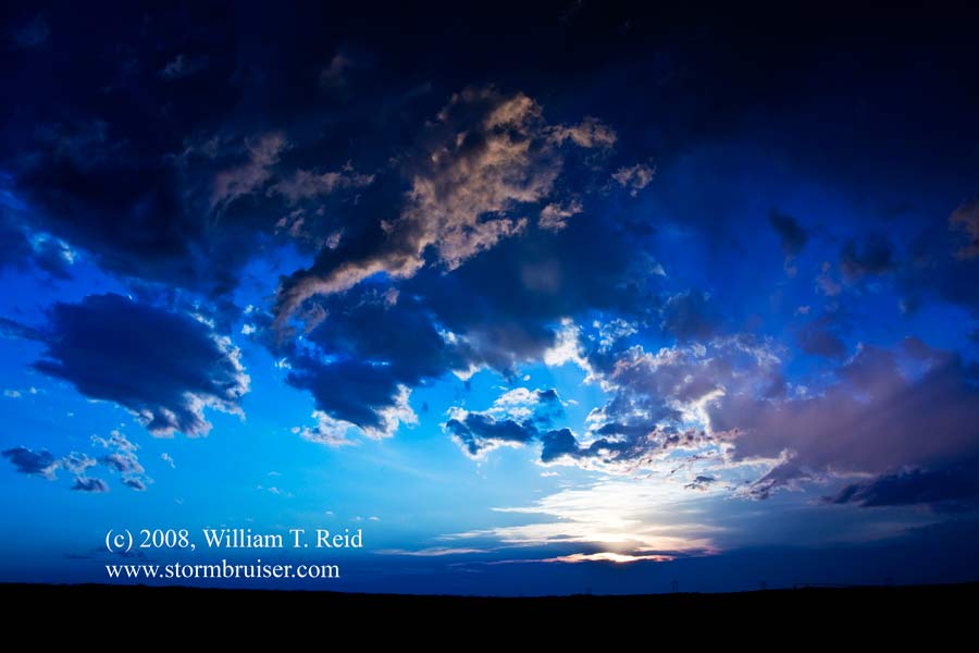
The first image below is looking south at developing CBs in extreme NW KS, from near Imperial, NE. The following two are looking northeast towards the cell NNW of Kearney, NE. Most noteworthy is the pretty layer of Kelvin-Helmholtz wave clouds in front of the storm. The fourth image shows some structure remaining with the Kearney storm as it fizzled north of town…leaving us bitter and cold (see final image).
Leave a Reply
You must be logged in to post a comment.