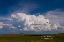
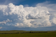
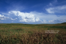
After a Chinese food lunch in Alliance, we needed to drift northeast and east just a little. I was relatively comfortable sticking close to the Rushville, NE, area, so we killed time at an old house north of town and then in the shade at a park in Rushville. It was getting towards 5 p.m. and not much was happening yet. Winds a little east of Rushville were weak and showing occasional northerly tendencies, so we drove east on U.S. 20 towards Merriman in northernwestern Cherry County. En route, a couple of impressive CBs went up to our east-southeast. Of course, the road network in Cherry County is awful, but on this chase we did pretty well with the roads which were available. A couple of strong cells were nearly stationary, near the west end of Merritt Reservoir. We jumped on the road south out of Nenzel, and plunged into the midst of the Samuel R. McKelvie National Forest! Fortunately, a dense forest it is not, and we could easily see what our cells were up to. The north one was drifting northeastward towards our road. The south cell was still relatively stationary, and was obscured by the north cell. I needed to be east of the south cell. We barely skirted the core of the north cell where the road makes the hard jog east to Merritt Dam. The north cell exhibited some low-level banding and was likely a left split.
At Merritt Dam we were able to blast south again on Route 97, which would take us just east of the south cell. Things seemed to be working out pretty well so far! The storm was getting a good look on radar now—we could be in business—but we were still stuck with an absolutely horrible road network in the Sand Hills. If the cell started to move east, then we might have core issues where 97 jogs sharply west towards the updraft. If it remained stationary, then we would be in great shape. And, it did remain stationary as we came up on its southeast side along 97 near the North Loup River. The storm structure was just “okay” at this point. It looked like the storm was decaying somewhat, and I was a bit miffed. The updraft base was some 4-7 miles away, and was relatively benign.
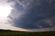
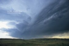
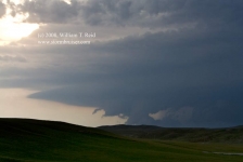
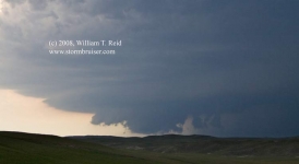
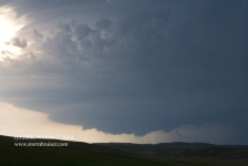
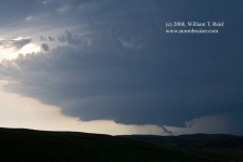
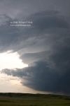
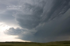
The cloud-to-ground lightning activity in the rain and hail area to our north increased, and drew nearer, so we were forced southward on 97. The low-level structure began to tighten up and improve visually, too. A couple of more times the precip and lightning got too close and we had to bail south a few miles. The updraft of this supercell was now dropping south…maybe slightly WEST of due south! We had a bonafide right-moving supercell with good-to-great structure! We were on a decent road to view structure, but the cell was actually getting a little farther away from us now. As sunset drew near, the base of the storm began to get that “look”, funnel-like lowerings protruded from a low base, and the storm was tornado-warned! And, we were having an awful time trying to find a nice high point where we would have a good view beneath the base to the west. We raced up and down the sand hills along 97 with our eyes glued to the west. We were afforded brief glimpses of very intriguing lowerings. Was a tornado forming? Maybe —- we can’t see what’s going on! It looked like the base was rotating hard and that a legitimate funnel or two might be descending towards the ground. We just could not see the storm base, or the ground beneath the base. I stopped at a relative high point perhaps five miles north of Mullen, and we could again see the base, but we had continued problems seeing what was going on beneath the storm base. A nice “hook” of precip wrapped around the action area and another nice, broad funnel came down. It didn’t last too long, and we had problems seeing what it was doing, anyway.
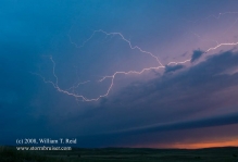
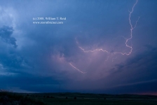
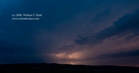
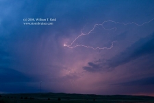
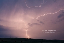
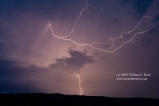
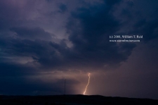
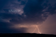
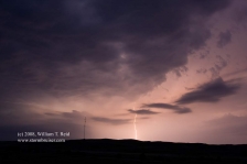
We headed into Mullen and then west about six miles. The storm was now to our northwest, and was still dropping S to SSW. It had an HP look now, and the lightning activity against the soft light of dusk was very nice! We sat on a high point about a half mile south of Hwy 2 in Hooker County and shot stills and video while enjoying the light show. The cell weakened some as other activity moved in from the west, and we called it a day and headed to Valentine via Thedford. On our way east and north, radar showed a pronounced intensification of the entire storm system in Hooker County, with a giant rotating comma shape!






Leave a Reply
You must be logged in to post a comment.