
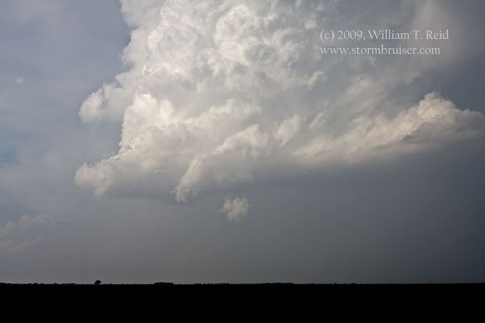
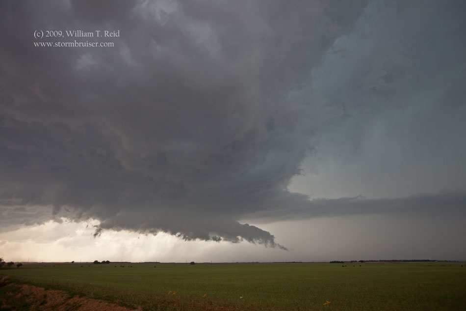
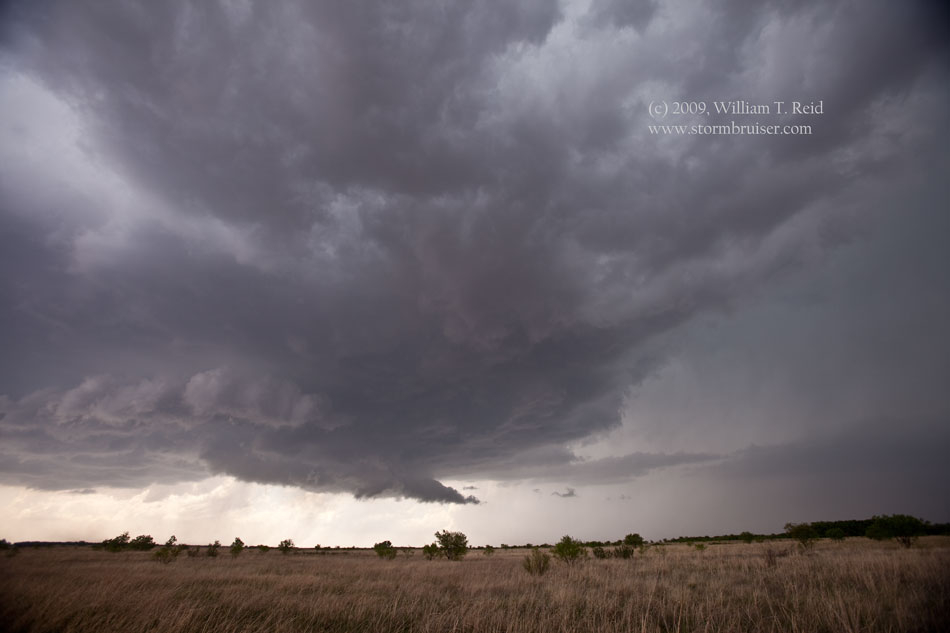
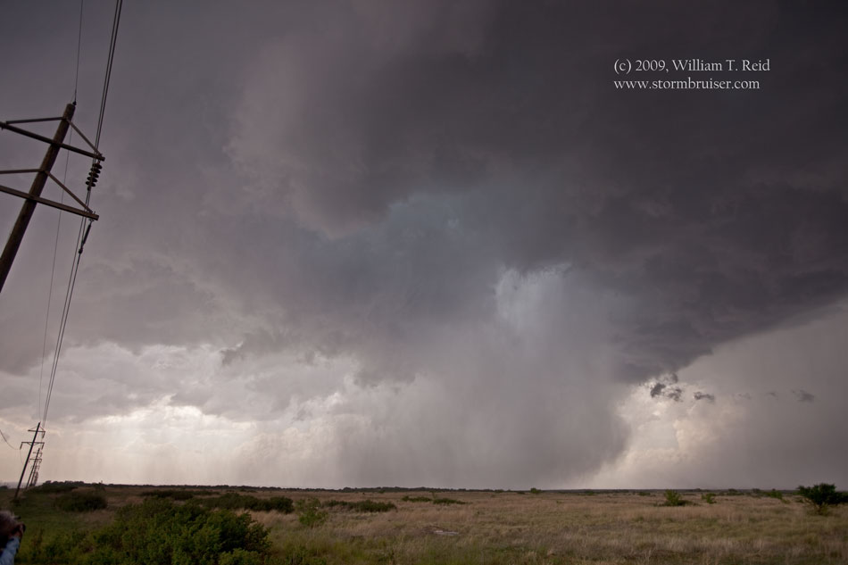
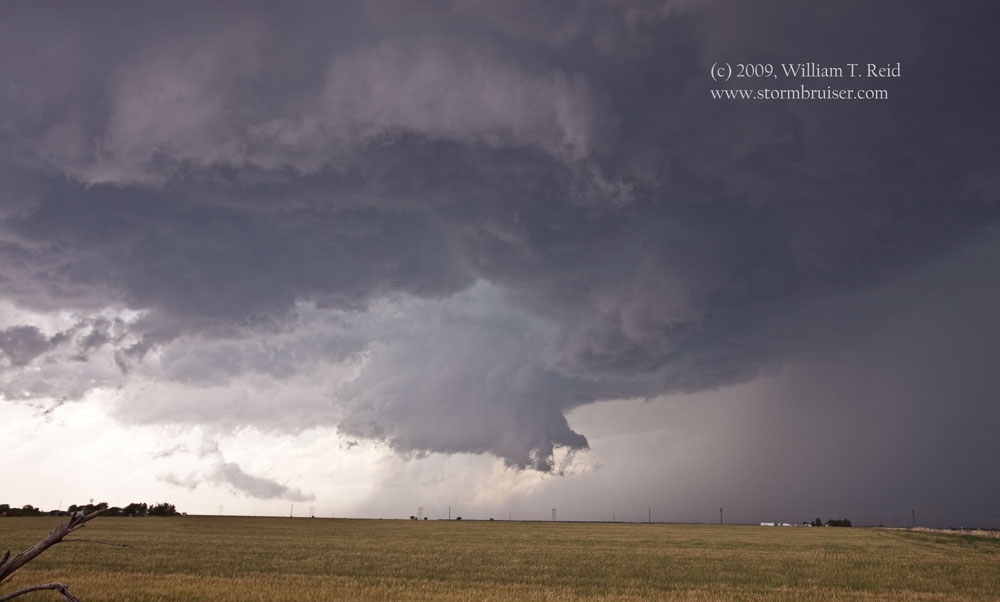
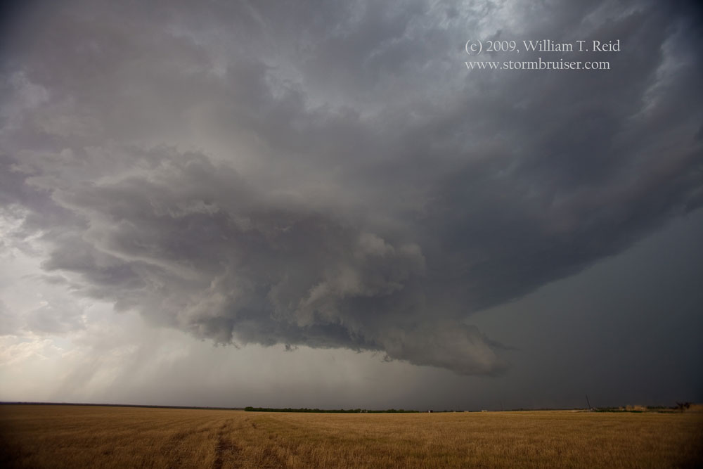
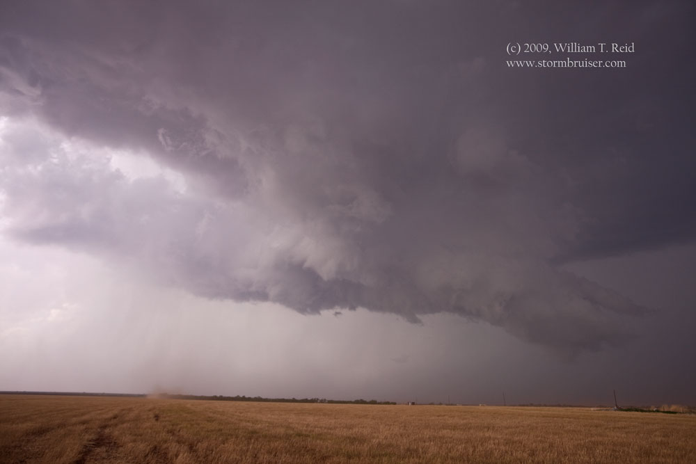
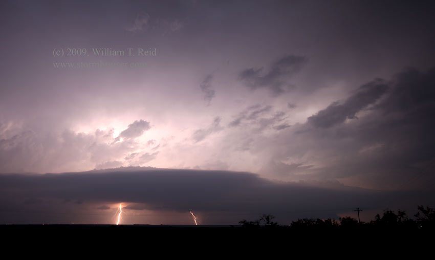
 On May 1 we targeted northwest TX, and dropped south to Vernon for lunch. Storm towers went up kind of early to our southwest, in Knox County, and we got on the storm relatively early. It wasn’t early enough, though. As we entered Knox City from the north, a really nice narrow funnel cloud was hanging out of the updraft base to our west! I didn’t even have my camera stuff ready yet! I managed to shoot some video of the funnel with Bob’s camcorder as we went into Knox City. The funnel was halfway to the ground, and other observers confirmed that this was indeed a tornado. It dissipated as we went a little west of Knox City to get closer. The supercell that caused this tornado trekked southeastward towards Stamford and had several wall clouds thereafter, but no decent funnel clouds (or tornadoes). The fourth image below shows a nice, wet RFD.
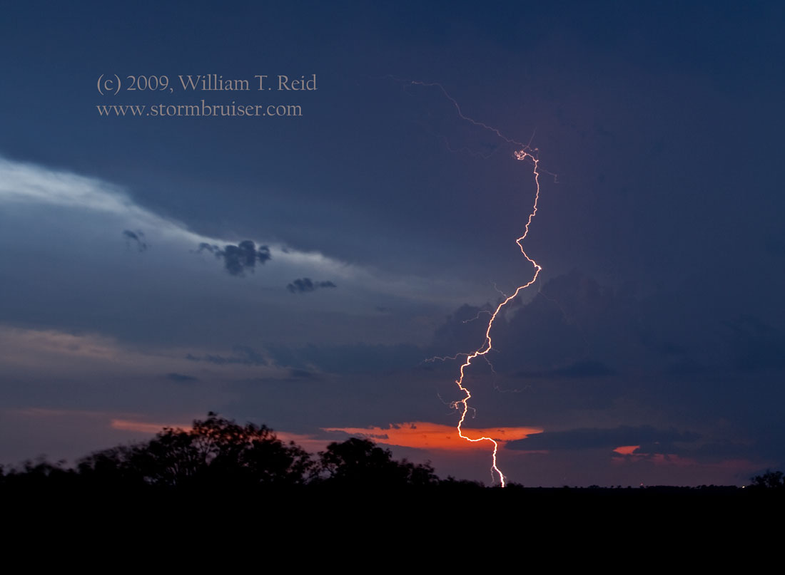
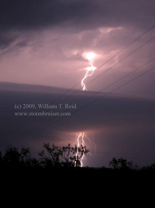
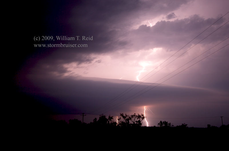
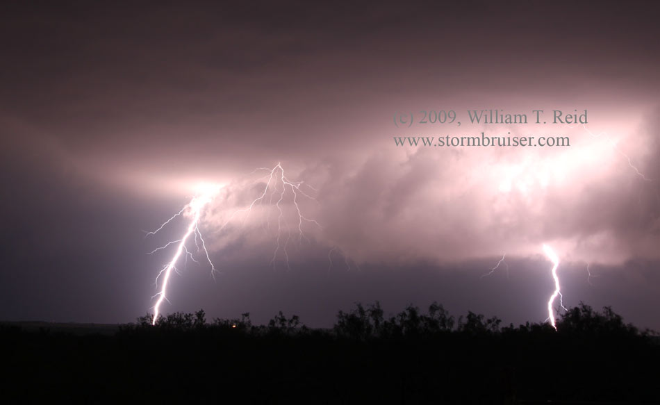
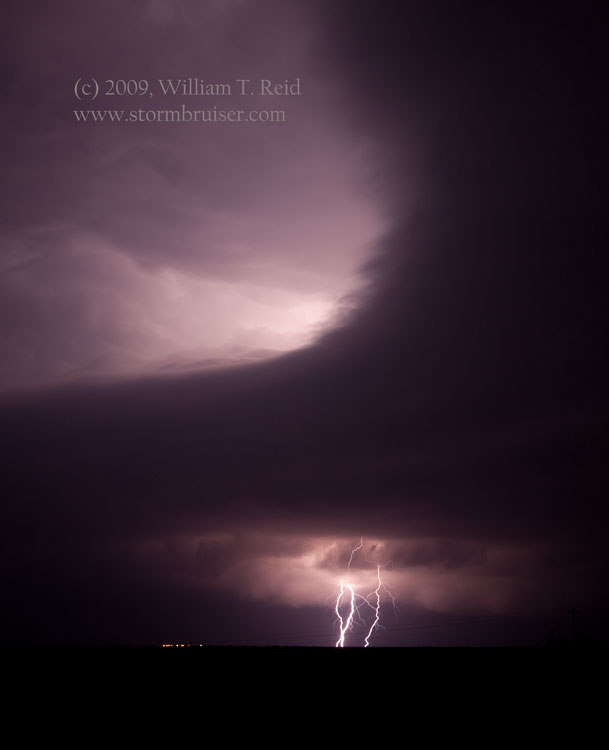
The storm died quickly at 6 p.m. We considered going north to the Baylor County storm, but it looked a little sick, too. I elected to target some new weak cells a couple of counties to the west. We stopped about 20 miles north of Abilene at sunset, and these cells really started to strengthen after dark. Our group had about five tripods set up and we managed to get some decent lightning and structure shots. One cell started dropping southeast towards our location and became tornado warned. Lightning got too close and we scurried west to get out of the way. This was a very satisfying chase day! It was just a bit of a bummer that we were maybe five minutes late in order to get a good look at the tornado. That Knox County storm must have gone from first radar-echo blip to a tornado in 45 minutes or so.
Leave a Reply
You must be logged in to post a comment.