
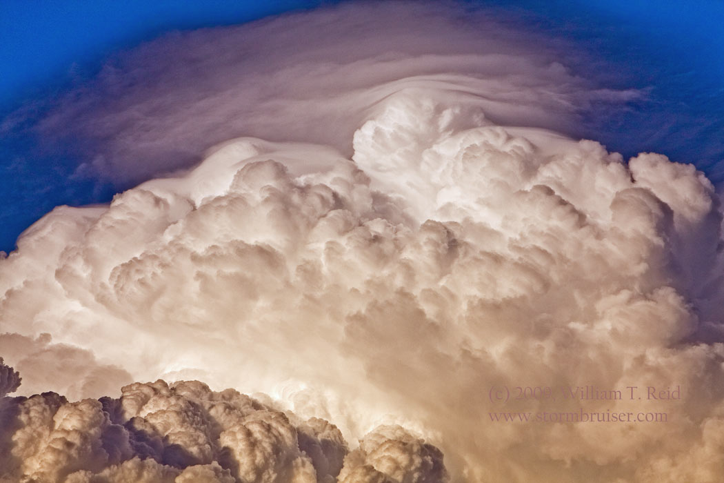
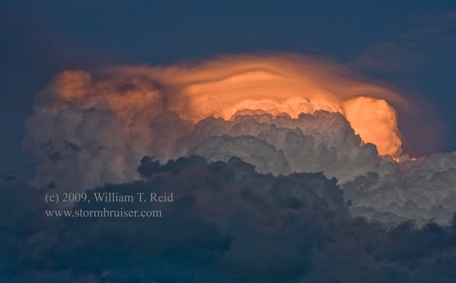
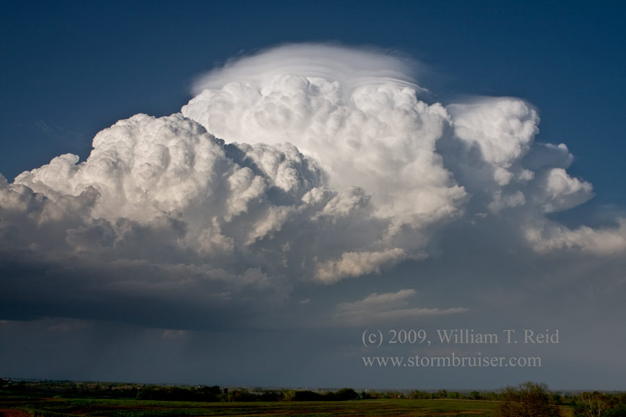
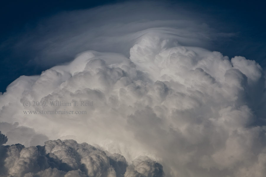
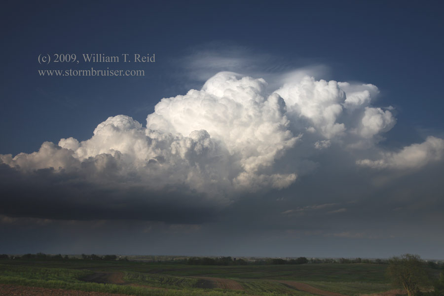
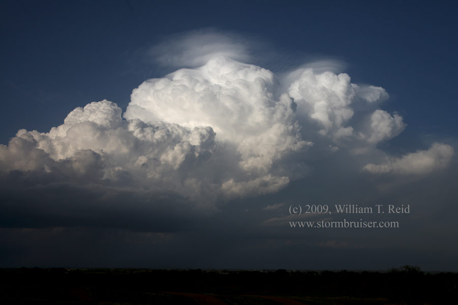
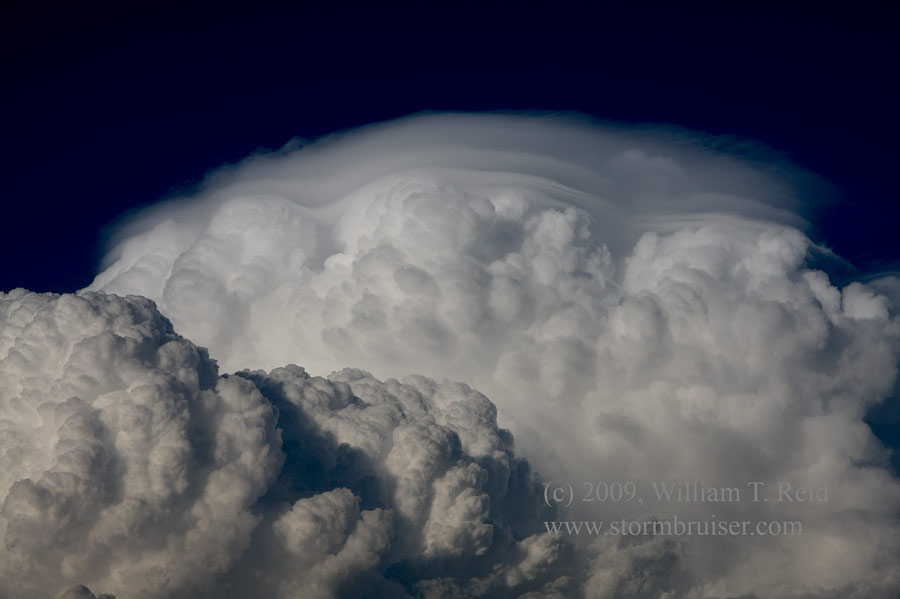
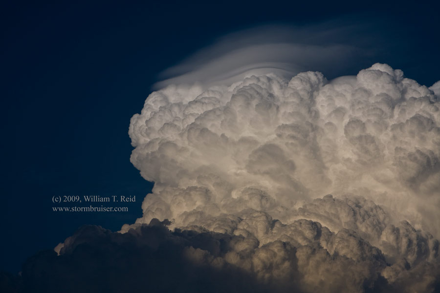
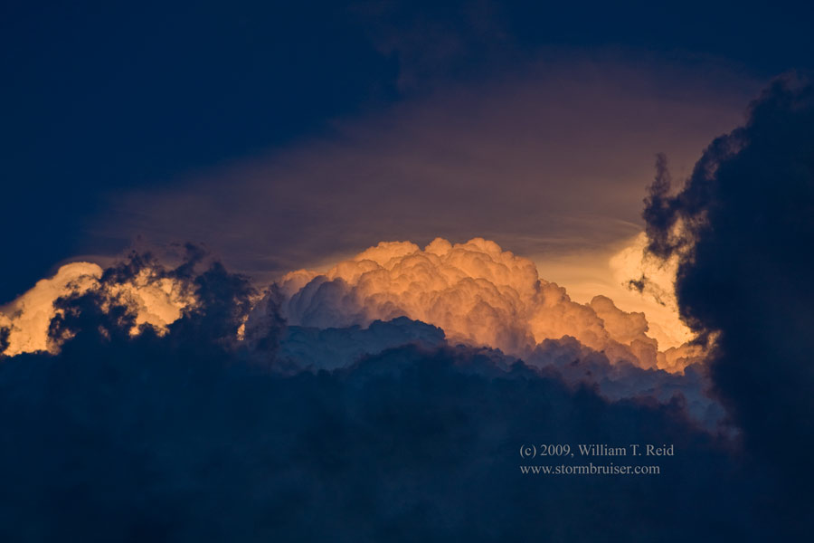
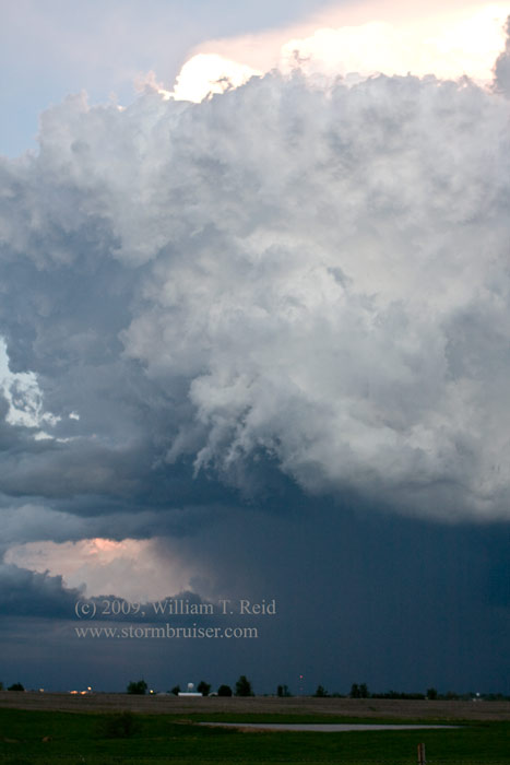
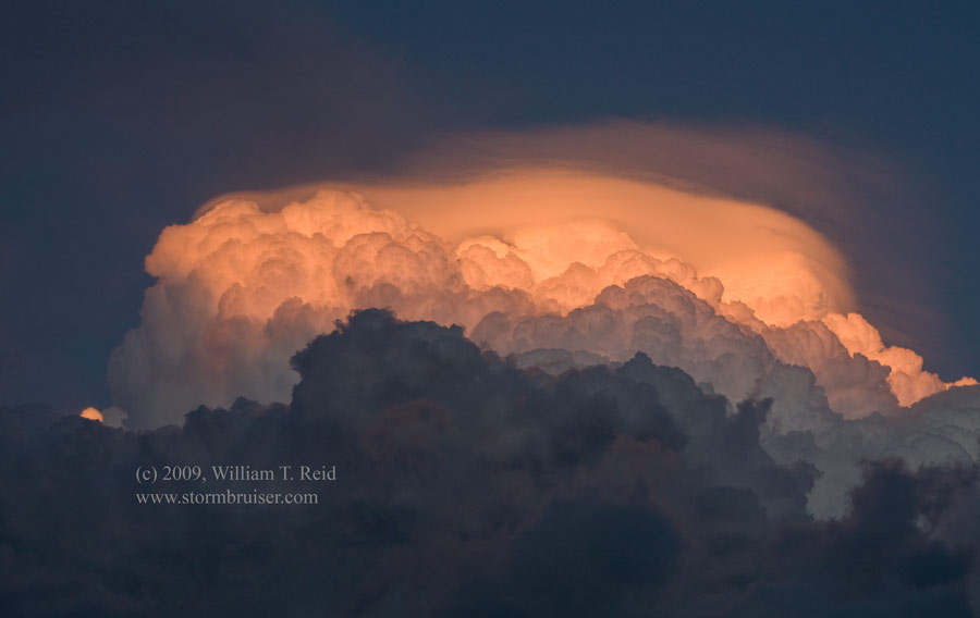
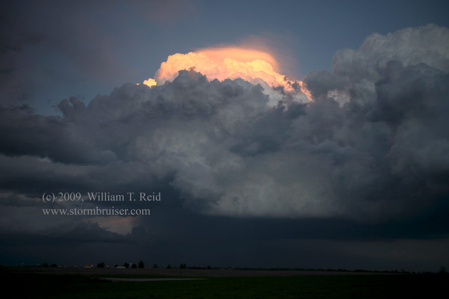
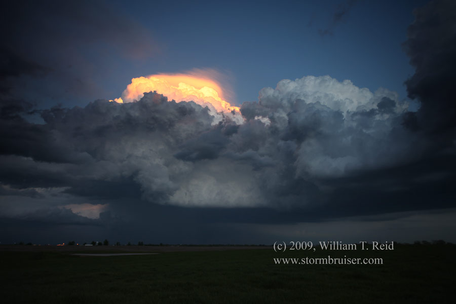
 Our group departed Edmond, OK, and I was thinking/hoping for thunderstorm development by late afternoon in eastern Kansas. Instability was moderate, shear was excellent, and the cap was strong. The prospects the following day looked good along the Red River near Wichita Falls, so I was a little concerned about winding up a long, long way from there. The weather map parameters during the afternoon pulled us up to Lawrence, KS, well into northeastern Kansas. By 6 p.m. or so, we were still waiting for a storm to look at. Finally. some new cells went up near the point where Nebraska, Kansas, and Missouri join, to our north. These moved southeast, and we got on a storm updraft east of St. Joseph, MO. This CB (cumulonimbus) was severely tilted over, thanks to the strong shear. Another stronger cell was to our northeast, but it was too far away to catch. We followed our cell east on U.S. 36 to Cameron, and it was looking much healthier. It featured a rounded, supercellular base and a decent wall cloud. It was sunset time, though, and the cell was moving southeast, so we stopped to photograph the backside in the nice light and waved goodbye. Later, this cell strengthened further and prompted tornado warnings deeper into Missouri. Highlights on this day included numerous pileous cap cloud formations on the CB. We drove back southwest to Emporia, KS, for the night.
Leave a Reply
You must be logged in to post a comment.