
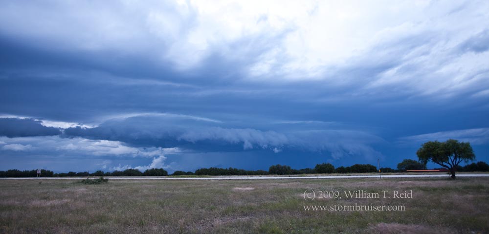
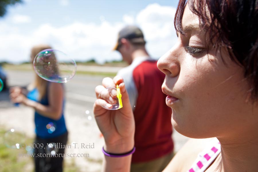
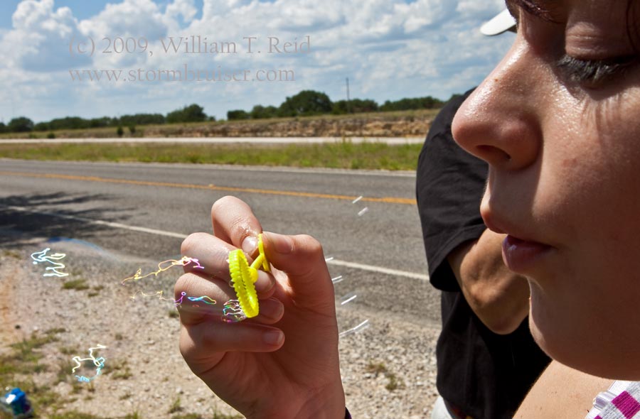
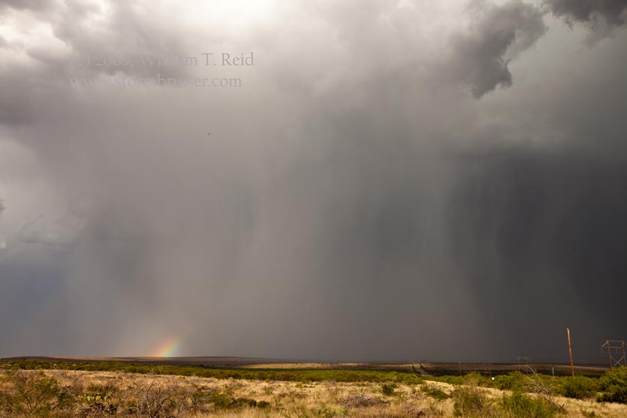
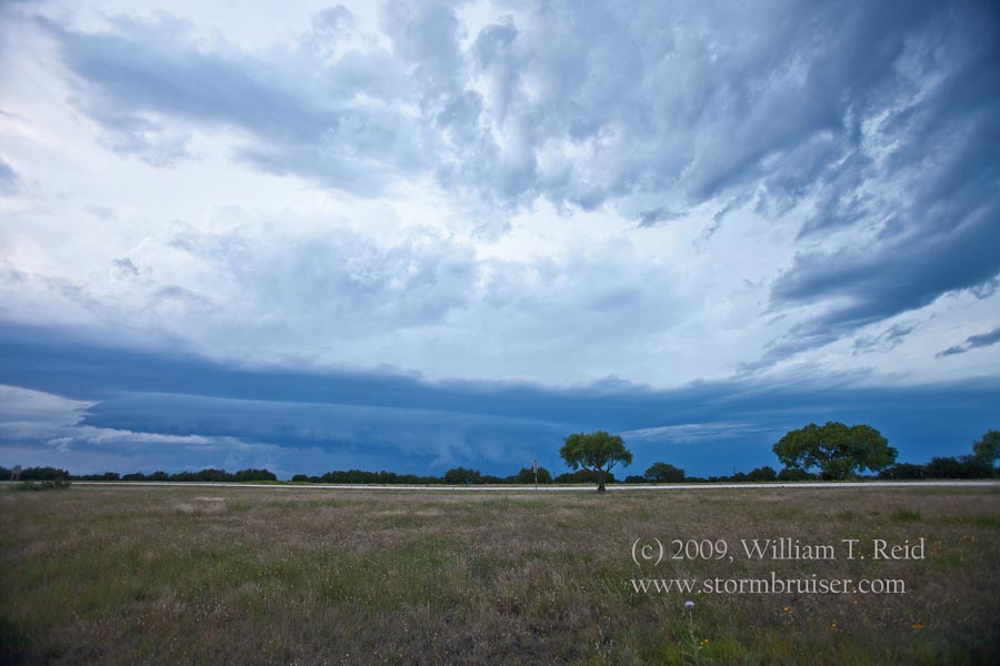
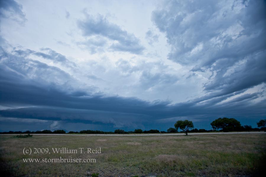
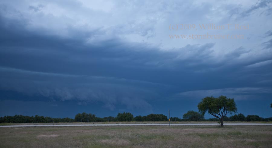
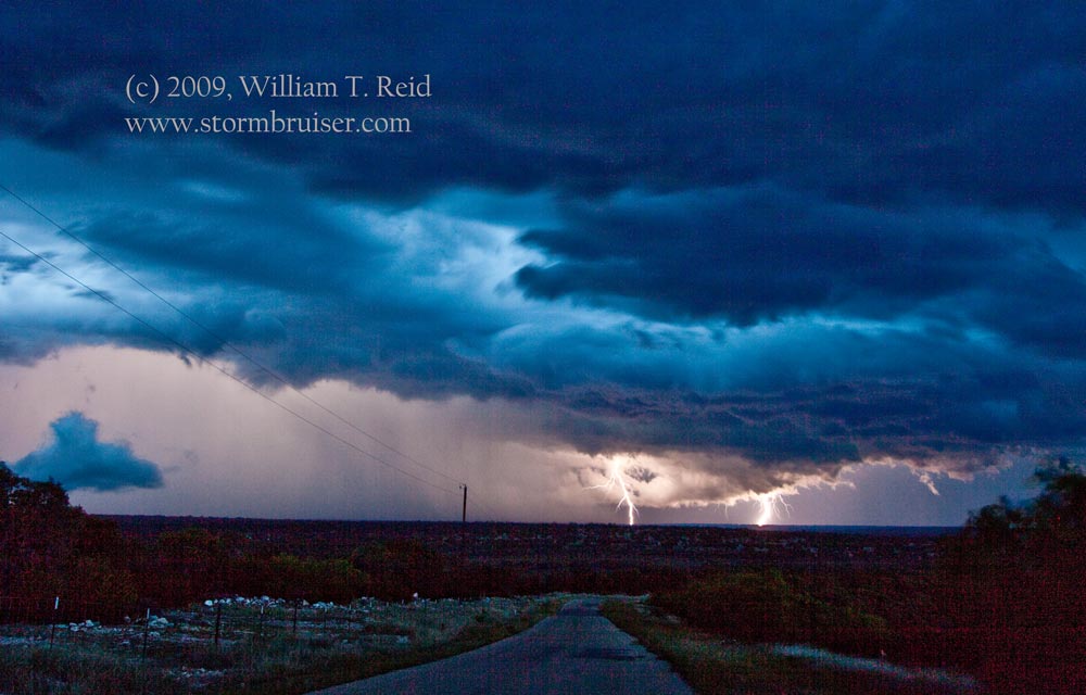
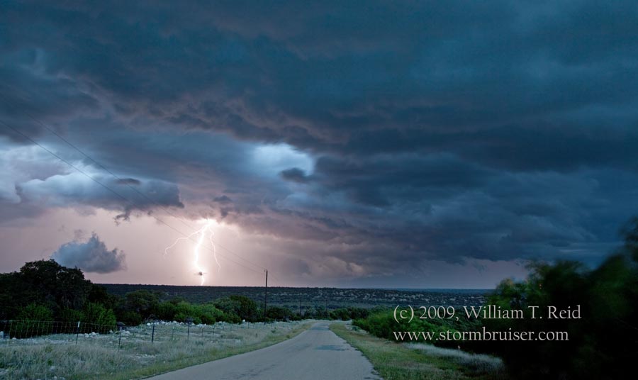
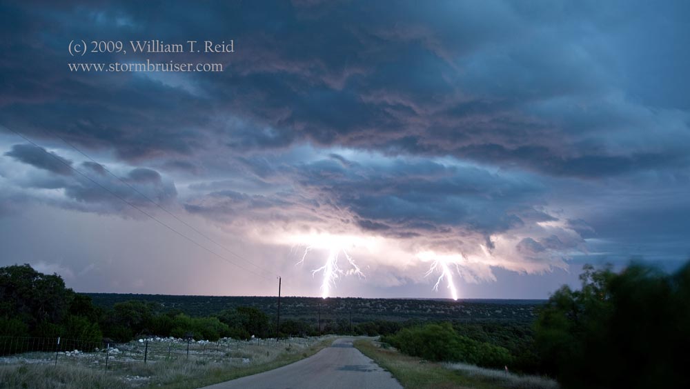
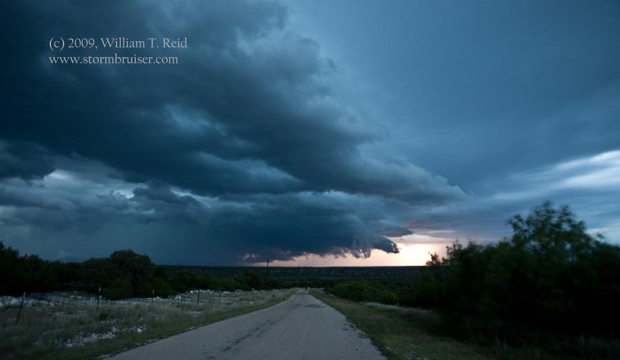
The forecast for severe storms in the Del Rio area persisted for May
28.  It looked like the initiation area would be a few counties to the north,
near San Angelo.  We hung out near Sonora and blew bubbles, and waited some
more.  This, again, was a day with less-than-adequate shear from the surface to
mid-levels, but maybe enough CAPE to make things interesting.  Like practically
every other chase day for the past two weeks, the prospects for a tornado were
extremely small.  A bunch of weak storms developed in a large cumulus field
which extended to our northwest to southeast.  We drifted north to Eldorado, TX,
and then decided to get close to a developing storm in Irion County, to our
northwest.  My approach route via Barnhart (west and north) wound up ill-advised, as the
cell moved more SE than SSE, as hoped.  Worse still, the original cell croaked
just as we got on it, and a new storm went up just to its southeast.  We were in
catch-up mode all of a sudden---on the wrong side of the storm!  The sparse road network
was a bummer, too.  Fortunately, it wasn't as if we were going to miss a tornado or
anything spectacular.  This was also a rather high-based cell...just another hailstorm
like most of the others during the past few weeks.  We dropped down to I-10 and blasted east,
to make sure that we weren't fighting with cores in order to get back in front (southeast of
storm).

This was accomplished nearly two hours later, between Sonora and
Junction.  The activity north of I-10 was somewhat linear, but had a
cool-looking laminar banding and a prominent lowering on the leading edge, with
frequent lightning.  We stayed with the storm to our Days Inn in Junction, with
plenty of lightning and thunder and heavy rain into the night!  After checking
in, we went to McDonalds for some food.  It was the only eatery in town still
open----until 11 p.m.  It was closed when we arrived around 10:30, though, as
lightning had knocked out their computers.  We wound up, once again, with
convenience store food.


Leave a Reply
You must be logged in to post a comment.