Stormbruiser.com

William T. Reid

  • About
  • Video Links
  • Climate
  • Categories
    • Astronomy
    • Aurora/Northern Lights
    • Artsy
    • Airports (LAX and VNY)
    • Animal Day
    • Beach
    • BEST and MOST POPULAR
    • Chase Season Summary
    • Chasers and friends
    • Cumulonimbus
    • Death Valley
    • Desert
    • Desert/Mountains
    • Elevated photography
    • Eyesores
    • Fire
    • Flooding
    • Hurricane
    • Landscapes
    • Lightning
    • Local: Conejo Valley/San Fernando Valley
    • Mid and High Clouds
    • Nighttime photography
    • Old Stuff
    • Rainbows/Optical Phenomena
    • San Nicolas Island
    • Storm Video Sales
    • Stormy Skies
    • Stupid Bugs
    • Sunsets and Storms
    • Supercells
    • The City
    • Tornadoes
    • Unusual Clouds
    • Vegetation
    • Wind and Dust
    • Winter Weather
  • Contact
You are here: Home / 2009 / June 10, 2009 Southwest Kansas Supercell

June 10, 2009 Southwest Kansas Supercell

June 10, 2009 By Bill Leave a Comment

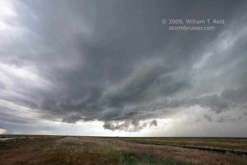
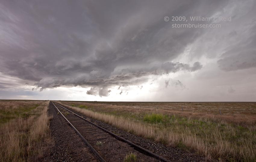
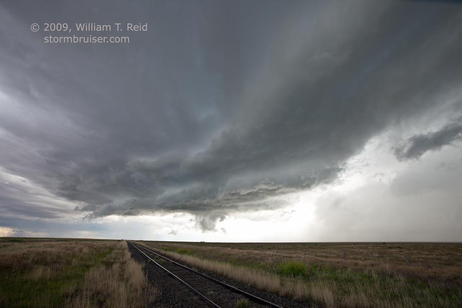
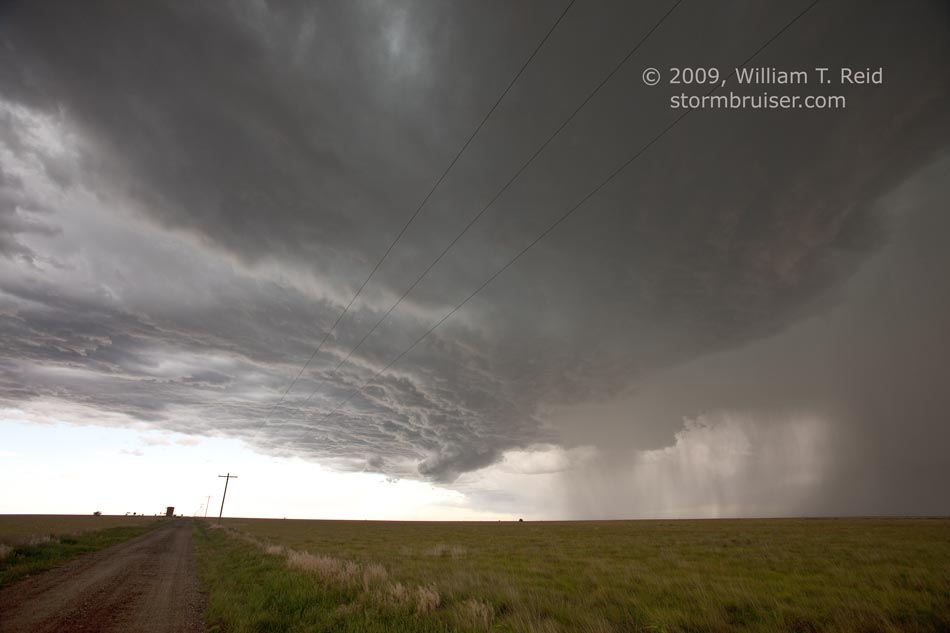
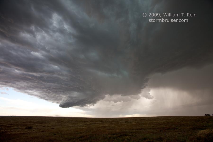
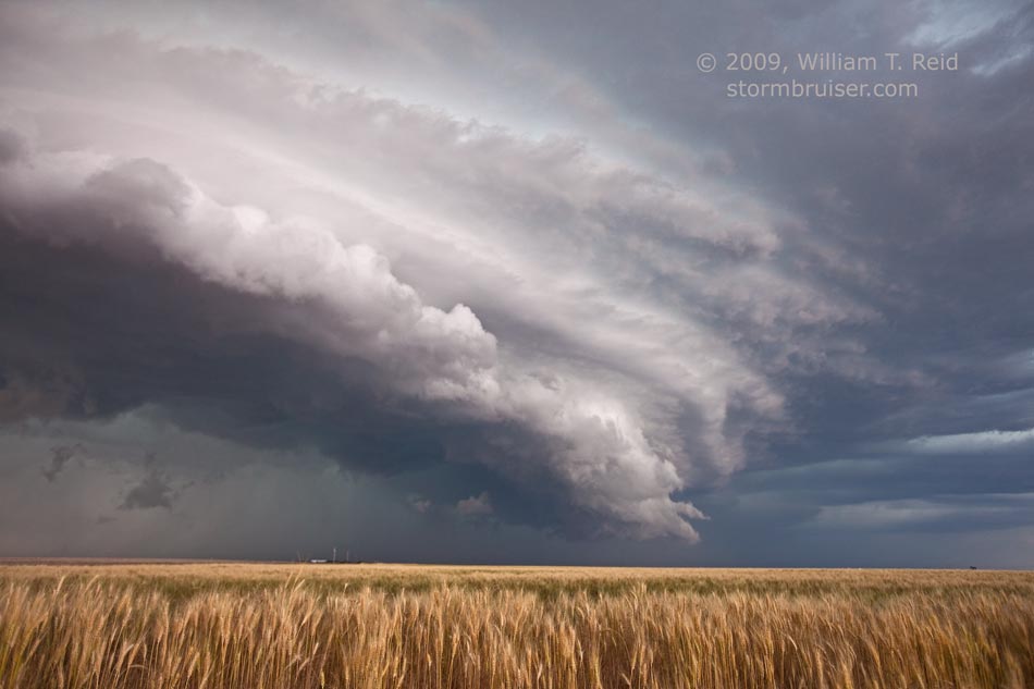
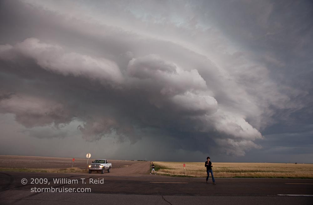
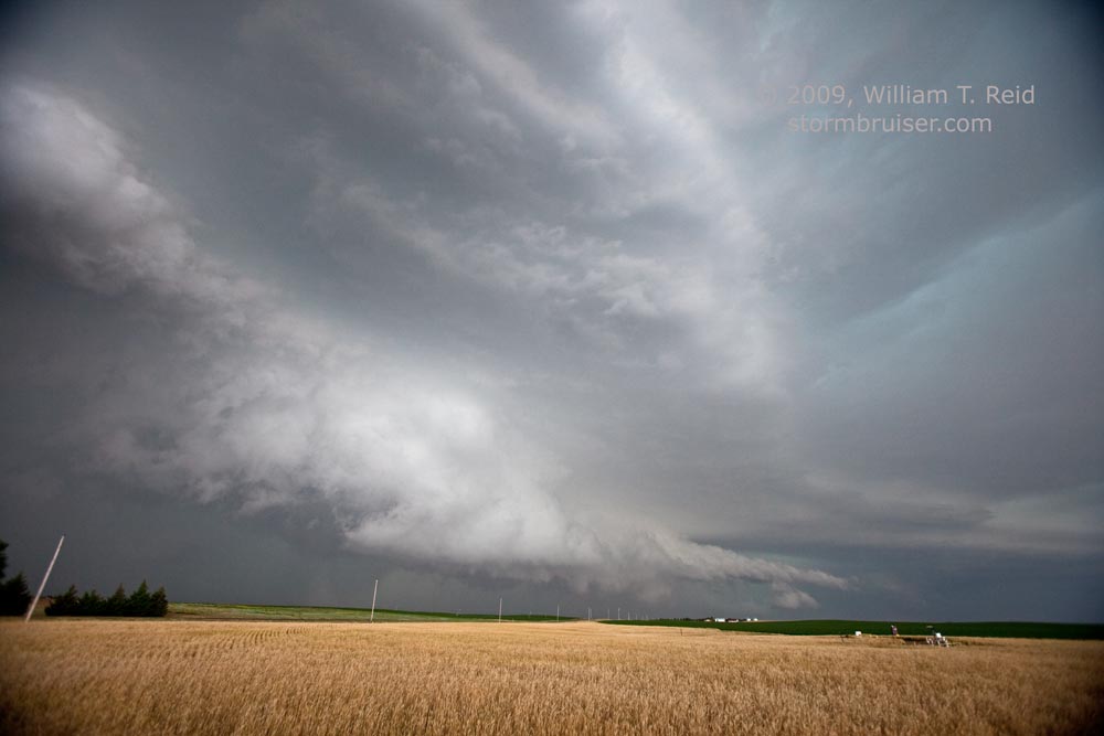
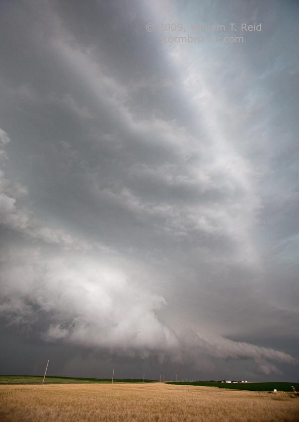
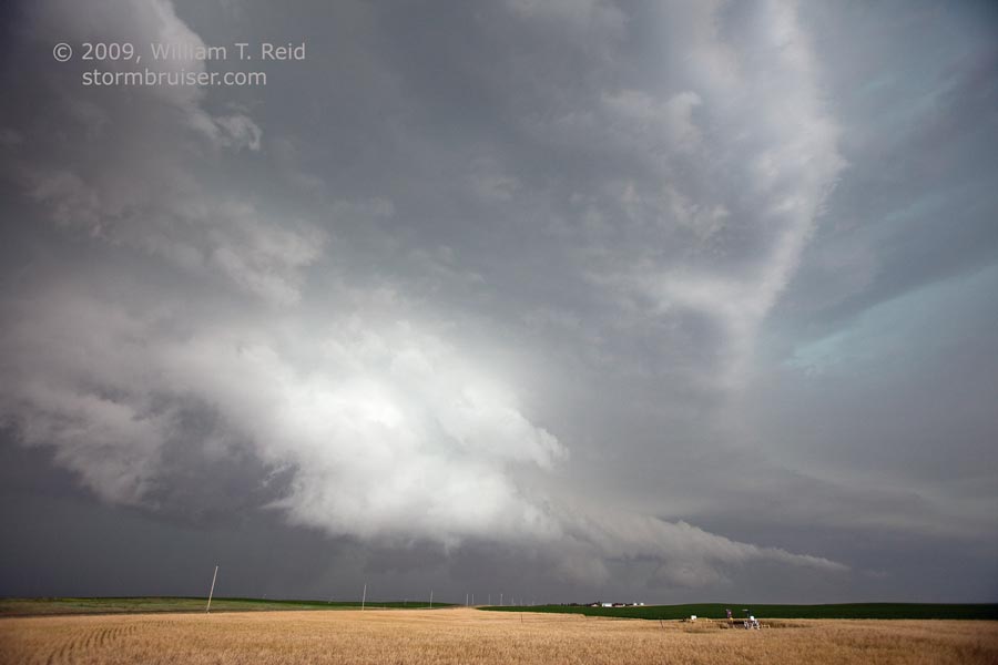
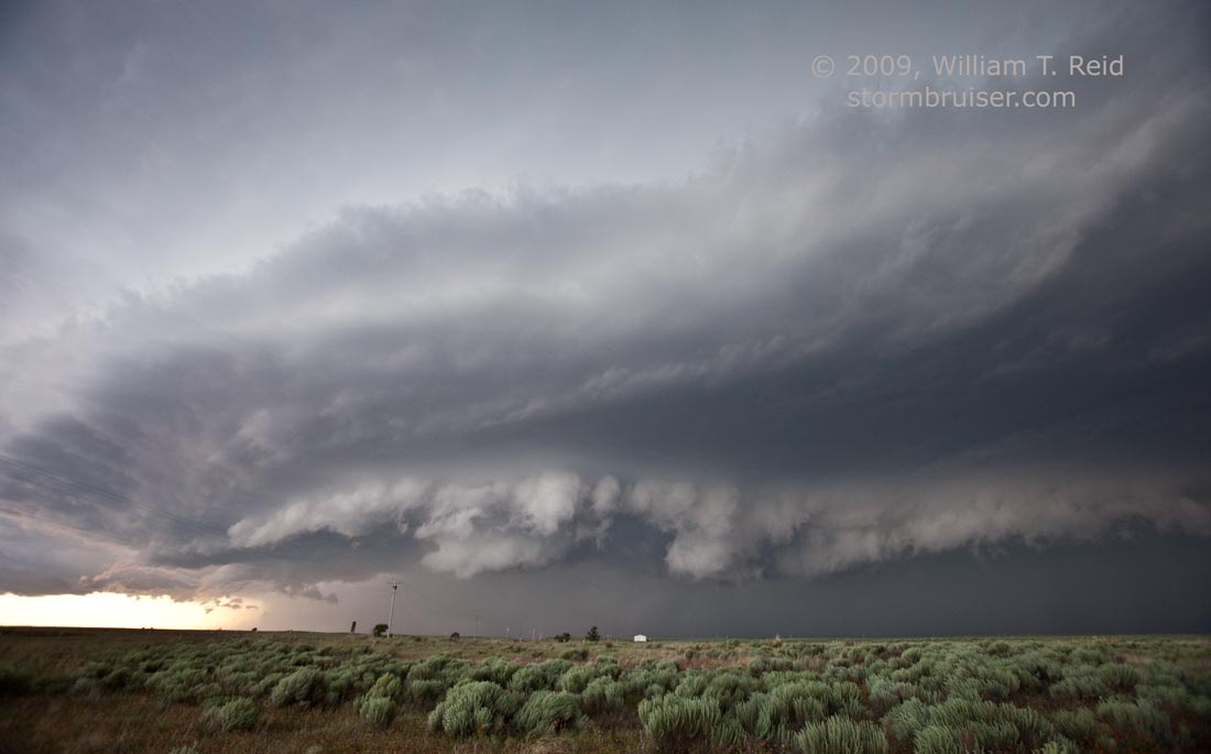
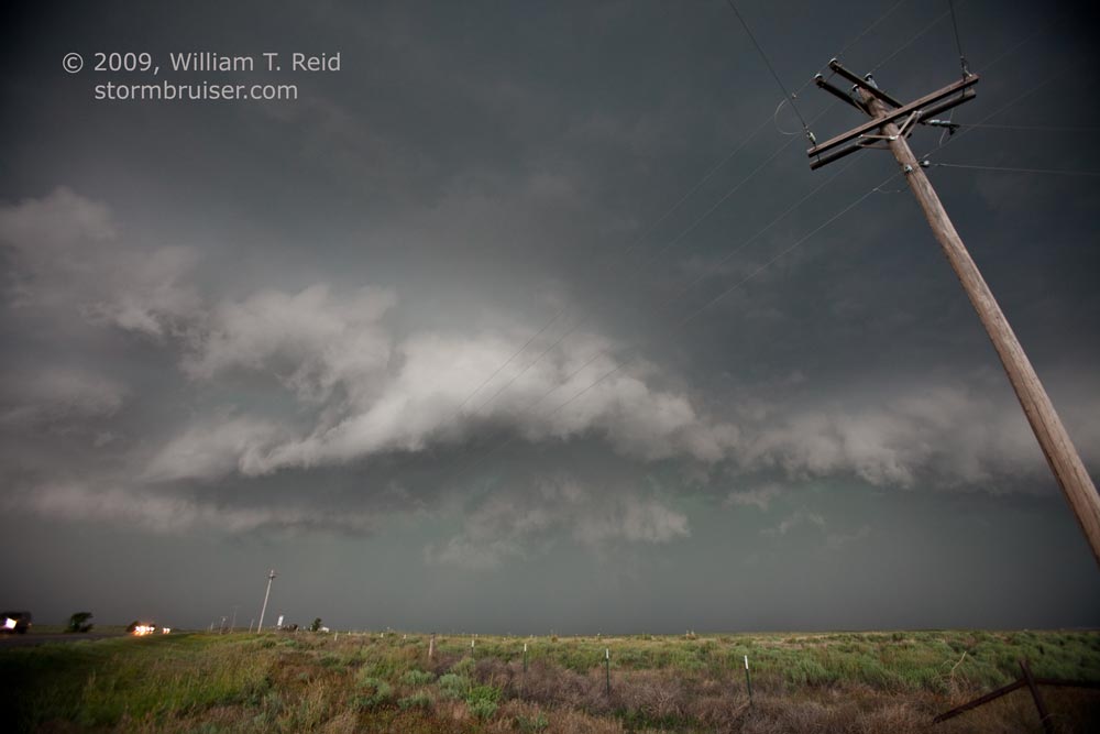
I figured out after lunch that the target today was extreme southwest Kansas.  Shear and instability would be sufficient for supercells, but tornadoes were unlikely.  We began in Pratt and lunched in Medicine Lodge, and then scooted west on 160 to Johnson City.  A somewhat high-based storm was intercepted between Walsh and Saunders, slightly into Colorado.  It exhibited a rather ho-hum look, and later had a decent lowered area along the Morton/Stanton county line in Kansas.  During the last hour before sunset, a supercell quickly developed in western Stevens County and moved east.  The storm was just to our north along 51 near Hugoton, and we got a little in front of it for a nice structure show between Woods and U.S. 83.  A brief tornado was reported with the cell near U.S. 83 in northern Seward County, but we didn’t see it.

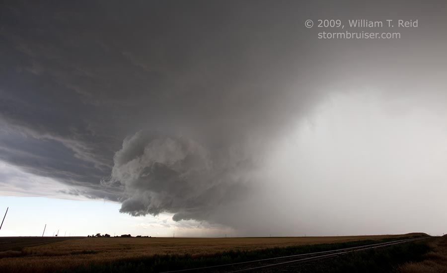
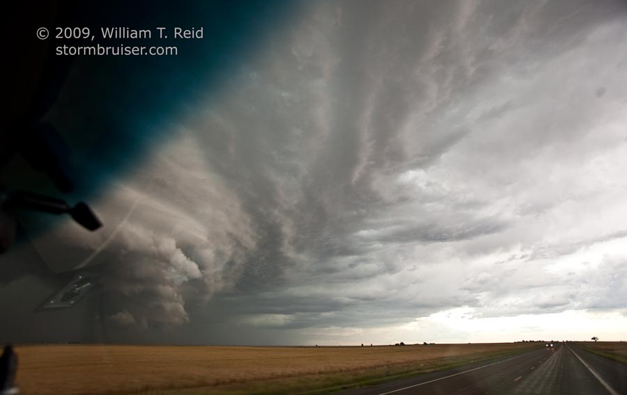
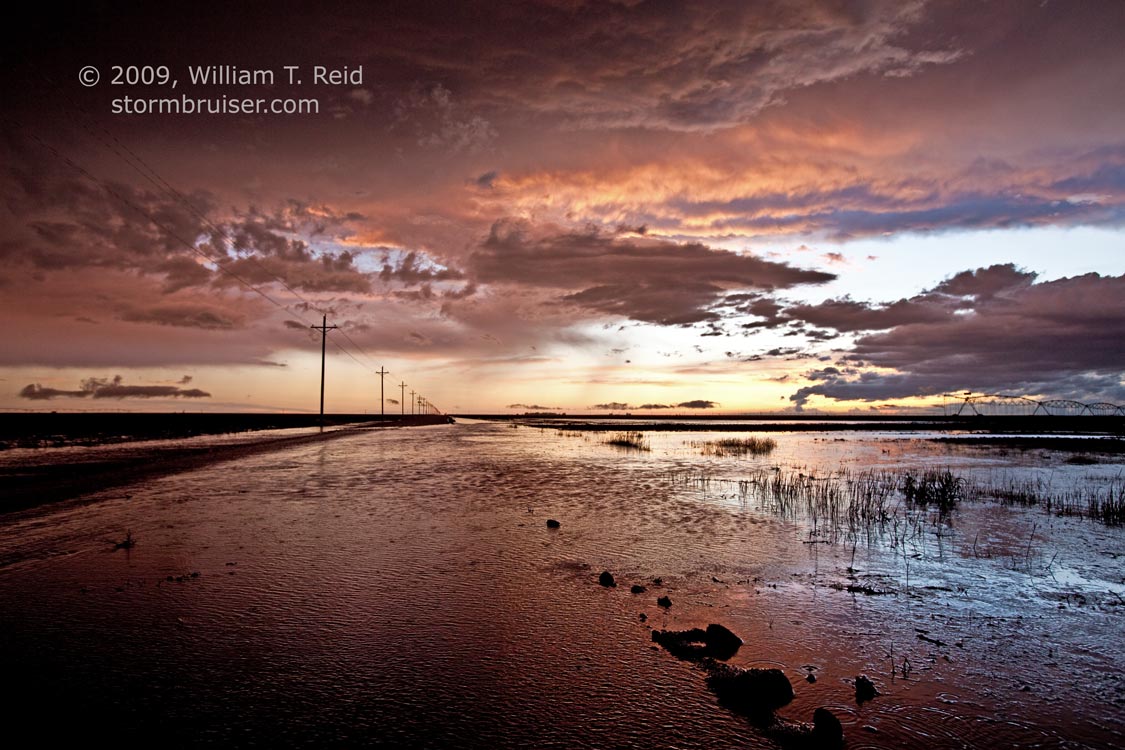
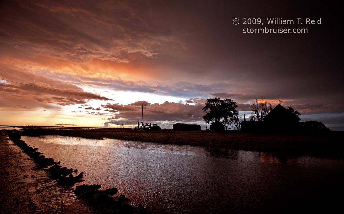
The storm moved to our north and northeast as we waited near 83 and 51.  When the hail subsided a little, we came up on the cell’s western edge where 83 jogs to the east, and observed some nice hail fog.  It was a little after sunset and the storm was a little less impressive, so the chase was terminated.  A flooded dirt road along U.S. 83 provided a pretty diversion and photo op on the way to Lamar for the night.

090610_stanton_cty_ks_9961090610_stanton_cty_ks_9963090610_stanton_cty_ks_9964090610_stanton_cty_ks_9966090610_stanton_cty_ks_9969090610_stanton_cty_ks_9973090610_stevens_cty_ks_9976090610_stevens_cty_ks_9978090610_stevens_cty_ks_9983090610_stevens_cty_ks_9984090610_stevens_cty_ks_9985090610_stevens_cty_ks_9987090610_stevens_cty_ks_9989090610_stevens_cty_ks_9993090610_seward_cty_ks_0001090610_seward_cty_ks_9998

Filed Under: 2009, Stormy Skies, Sunsets and Storms, Supercells

Leave a Reply

You must be logged in to post a comment.

Search

June 2009
S M T W T F S
 123456
78910111213
14151617181920
21222324252627
282930  
« May   Jul »

Categories

Archives

Copyright © 2025 stormbruiser.com · Log in