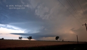
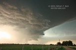
Quite the chase day this day was. With a target area of southeast CO, we were in good shape following the morning briefing in Lamar. A relatively weak cell held together as it drifted eastward from near Pueblo. We were in good position early, on the unpaved road between Boone and Yoder in northeastern Pueblo County. The storm was moving into decent moisture, and winds up the Arkansas Valley were easterly, so our hopes for some chase fun were fairly high. One-inch-size hail fell as the cell’s updraft neared (and I phoned in the info to NWS PUB), forcing us south towards Boone. Just north of Boone, we found ourselves between two strong updrafts. The one to our north was more mature and looked to be close to supercell status. The one to our south was young and developing very quickly, maybe 7 miles southeast of Boone. After about 10 minutes of picture-taking, it was time to blast east on 96 to keep pace.

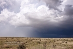
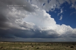
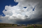
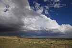
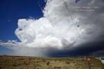
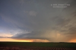
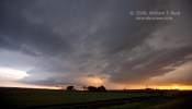
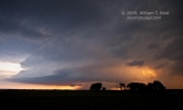
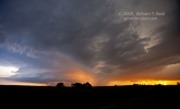
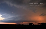
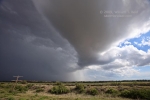
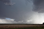
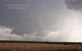
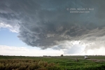
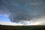
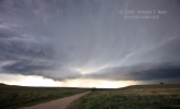
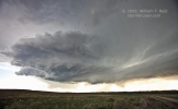
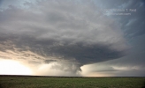
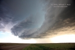
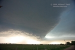
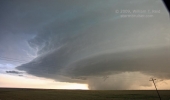
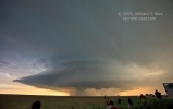
A meteorologist from NWS Pueblo called me as we headed east to the Crowley County line. She was eager to know what the north cell was doing, as the radar was beginning to suggest a possible tornado. The cell had a good RFD cut and some low-level organization, but the lowering was shallow and a little high-based, with no funnel or hint of impending tornado. She said that she was close to pulling the (tornado-warning) trigger on this north cell, but I think my report dissuaded her for at least a little while. At the time, the south cell was strong, but not an imminent tornado threat. The two cells were maybe 15 miles apart and moving eastward in tandem…one was north of the river, and the other was south of the river. It wasn’t ten minutes later before our first tornado warning was issued, and it was for the south cell! The storm had organized extremely quickly and was threatening Fowler. We had a great view of a pronounced lowering with fast-moving precip curtains back to our southwest (second and third images below), from near Olney Springs.
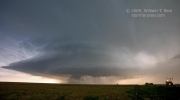
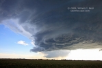
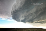
This south storm looked like it was about to plant a good-sized tornado! I was a little concerned about the potential for large hail, and elected to dive south (across the river) on 207 from Crowley to Manzanola. This would also keep us closer to the south cell, as it looked to be the Big Kahuna now. However, the impressive and strongly rotating area kind of went “poof”. It was gone as quickly as it materialized, it seemed. We headed ESE through Rocky Ford to Swink, and were afforded a decent view of the structure of this south supercell.
We continued east on U.S. 50 through La Junta, and stopped a few miles later. The southern cell (just to our west) continued to exhibit no inclination to tornado, but the northern one featured a better lowered area. More fascinating were the updraft bases that were nearing each other, and starting to connect! The north cell spit out a feature which looked like a tornado for a minute or two, but we were a little too far away to determine if the “funnel” cloud was tornadic or not.
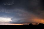
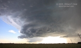
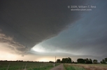
The southern storm chased us east-northeastward towards Las Animas, and closer to the precip associated with the north cell. After a stop or two and more picture-taking on the west side of Las Animas, hail forced us farther east on U.S. 50. It was about this time that the storms merged, or one decided to take charge. The northern updraft (first three images below) kind of ceased to be…or was it the southern updraft that succumbed to the north one? When we escaped the hail and stopped again east of Las Animas, there was just one impressive Mothership supercell.
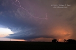
Again, precipitation chased us farther east on U.S. 50 to near Hasty. The mothership was to our WSW, it was sunset, and the soft light was very nice! Lightning flickered frequently in the anvil to our south and southwest. CGs seemed to be few, and I was unable to catch those with my digital camera. The storm had persistent large lowerings and we were in a good (though somewhat distant) postion to view any tornadic activity. None were observed. The storm skirted the south side of Lamar at dusk. We made a brief attempt to try to cut in front of the storm by going south on 287, but quickly thought better of it and turned back to Lamar. We would need our windshield tomorrow.


Leave a Reply
You must be logged in to post a comment.