
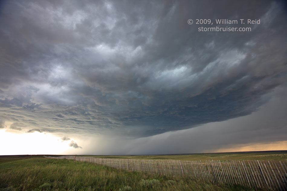
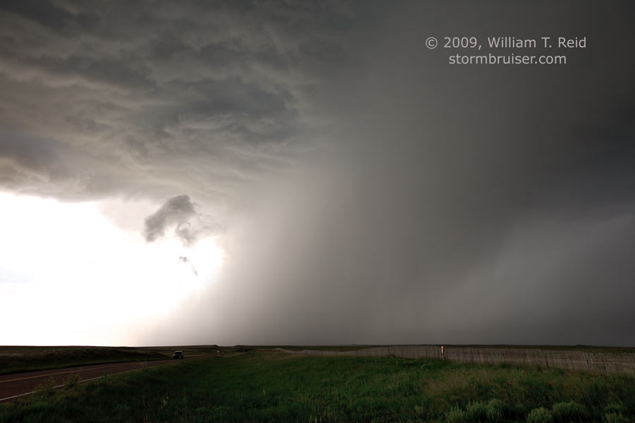
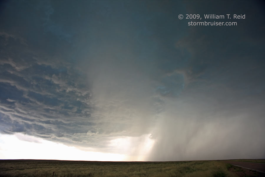
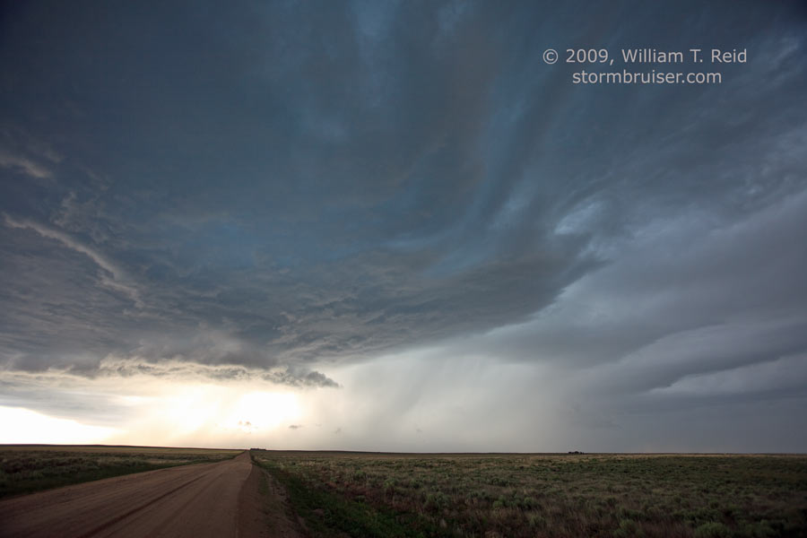
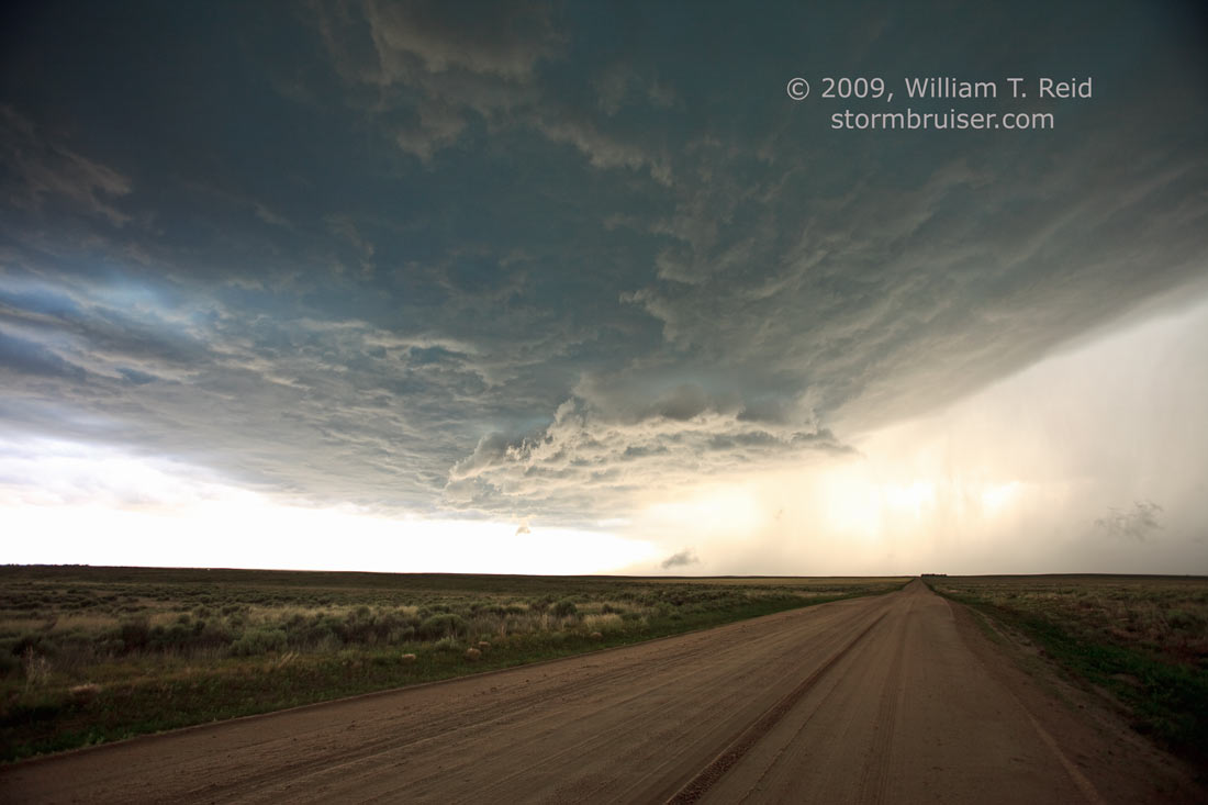
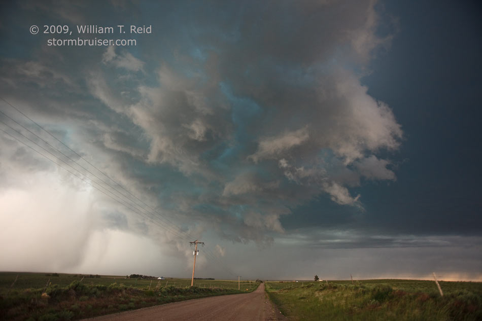
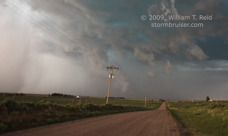
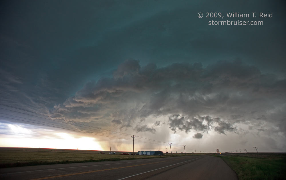
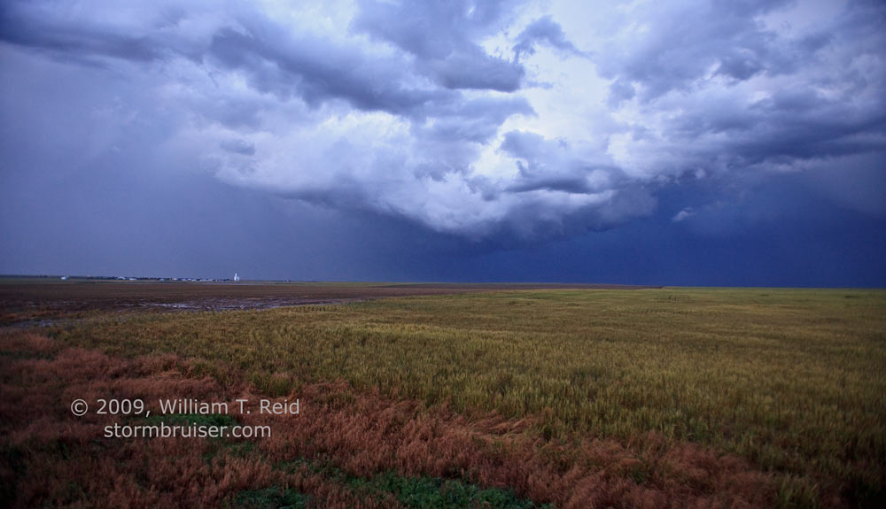
Another day beginning in Lamar, and another chase in southeast Colorado. This day was made even more special because we had the van’s tires rotated during lunch in Lamar. I think this was the day that we hung out at Adobe Creek Reservoir during the early afternoon, waiting quite impatiently for storm towers to appear. This reservoir is north of Las Animas, and amenities include fly-and-mosquito infested facilities. A cumulonimbus went up to our north-northwest, and we parked ourselves east of it on Route 94 in Lincoln County, about 7 miles west of Aroya. The storm had a high base and featured occasional long and photogenic precipitation shafts. The storm moved east-southeast and was outflow dominant. We stayed ahead of it by dropping south on 287 to Eads, and then east on 96 to Chivington and Brandon. By the time the storm reached Brandon, in Kiowa County, its updraft sported impressive laminar banding. It was about sunset at this point, and tornado potential appeared nil. We drove into an empty quonset hut west of Sheridan Lake hoping to get hammered by large hail, but we only had a heavy dump of small hail.
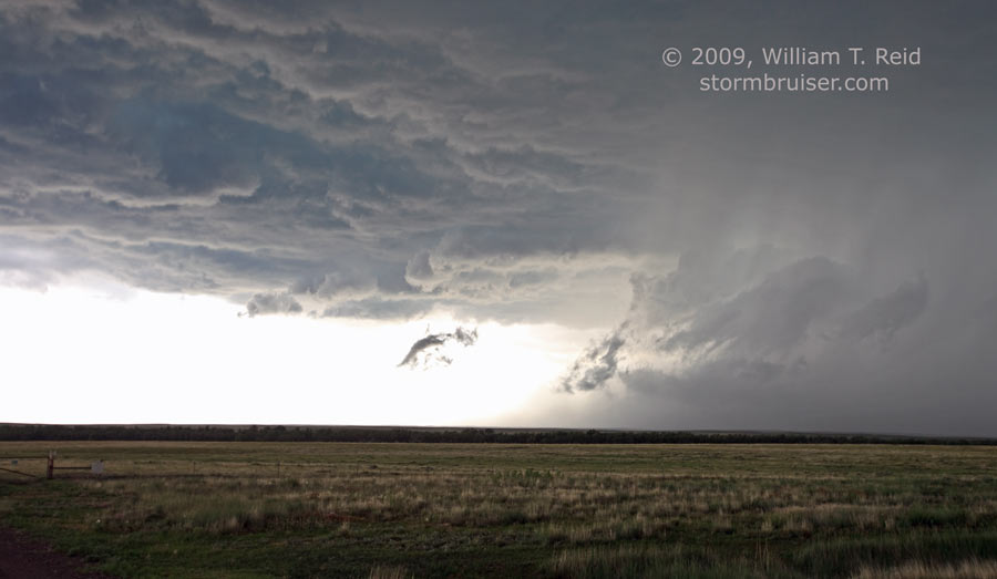
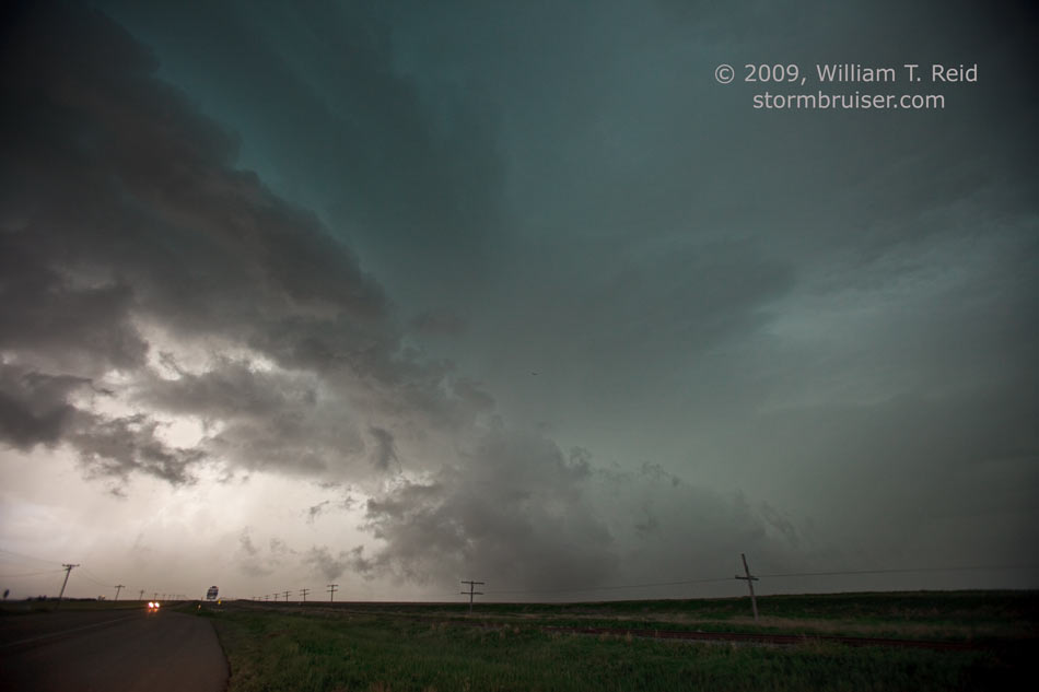
In image 9760 below (8th image) an outflow feature makes a decent tornado imitation. This was near Chivington.
Our hungry group found a nice place to eat in Granada, CO. It was a fancy steak restaurant with a fancy name:
Chez W Du Vall’s
We arrived shortly before closing time—10 p.m. We were turned away, however, by the staff, as they wanted to go home. We went back to Lamar again for the night for another forgettable dinner.
Leave a Reply
You must be logged in to post a comment.