The daily parade of impressive June supercells continues. Our tour group began the day in Hastings, and lunched at a local deli restaurant that Doug was familiar with. The surface weather map suggested a boundary and high CAPE axis to our north, in southeastern South Dakota. We high-tailed it north on U.S. 81 through Norfolk and Yankton, and attached ourselves to a southeastward-moving cell near Parkston which had been tornado-warned for an hour at least. Apparently the storm was not a prolific tornado producer up to that point. Well, at least it was not a prolific producer of photogenic tornadoes. I was nervous that we might be missing the show as we zig-zagged north and west from Yankton.
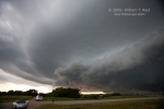
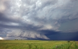
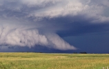
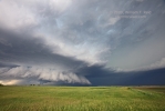
Storm structure was quite nice to our north-northwest on our first stop, on 44 east of Parkston by several miles. The six images below were taken from 6:40 to 6:55 p.m. CDT. A tornado was reported at 6:50 p.m., six miles east of Dimock, or no more than six miles to our NNW. The fifth image below (#9594) is a crop of the “notch” area and was taken at 6:50 p.m. (Click me for the NWS storm summary of this event.)
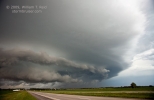
From here we stayed in front of the cell by scooting east on 44 and then south, east, and south again to north of Olivet. The first image below (#9598) was at 7:10 p.m., ten minutes before a tornado was reported by law enforcement four miles northwest of Olivet. This is a wide angle (16mm) shot looking northwest. The next four images show the supercell to our north from 7:28 to 7:31 p.m., again from near Olivet.
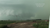
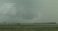
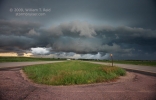
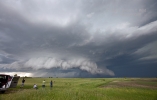
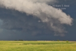
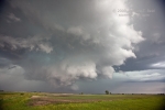
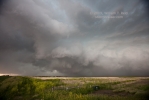
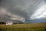
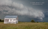
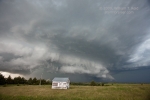
Our photo stops were rather brief as the supercell and its nasty core came at us at about 25 mph. We pushed eastbound from Olivet on U.S. 18 and stopped again near Menno. The five stills below were taken from 7:40 to 7:42 p.m., and the view is directly towards the action area, to the northwest. This time frame coincides with the most significant and longest-lived tornado for this storm, but we were not aware of it at the time. The official storm log from NWS Sioux Falls indicates a tornado in progress from 7:37 to 7:41 p.m., from about three miles north of Menno to one mile north of Menno. We were likely a mile or two east of Menno, and heavy precipitation around the tornado effectively obscured it. Storm chaser Tony Laubach was in tight to the notch area and managed a glimpse! On his blog for this event, Tony writes:
Myself and Ed witnessed the large tornado as it formed off to our immediate west before blasting south into Menno before taking extremely hard RFD and hail up to baseball sized. We briefly observed the tornado initially as it formed a cone before the meso seemed to plop on the ground and became this giant rain-wrapped beast just before we punched south out of it. We took a stop about a mile east of Menno and took on insane winds and hail before blasting east to get ahead of the storm.
In my images below, there is definitely a suspicious area behind the grain silo, but that’s about all one can ascertain. We didn’t hang around long enough to get hammered!
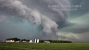
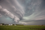
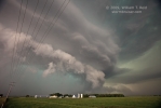
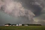
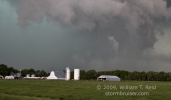
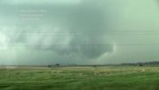
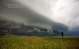
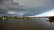
It almost goes without saying that it was next to impossible to observe the tornadoes with this storm without being in a very dangerous spot. From our stop just east of Menno, the advancing core chased us east. I was concerned that we might not make it to U.S. 81 before large hail descended upon the van. We made it unscathed (in light rain and small hail), and again had a look back to the west, towards Menno. We were afforded a decent view of the HP storm’s notch, but by this time (7:49 p.m.) the tornado event had ended. We were aware of the recent large tornado near Menno at this point. Here are my quick shots of the meso/wall cloud and some video stills as we headed south on U.S. 81:
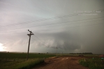
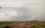
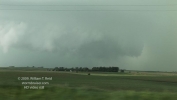
 The storm slowly weakened after the Menno event, but maintained nice structure into Yankton County. We continued south on U.S. 81 and stopped a couple of times to look back to the north. We elected to allow the weakened core to pass over us in Yankton at dusk, and were treated to some very heavy rain, strong wind, and a little small hail. It was nice to wind up at a motel with vacancy at the end of the chase.



Leave a Reply
You must be logged in to post a comment.