
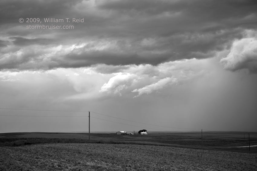
This was the final chase day for the lucky Tour 5 folks. They had observed supercells on eight out of eight of their chase days thus far. We needed to be back in Denver by noon on the 19th, so we set our sights on the higher terrain towards eastern Colorado. We departed Grand island and headed for McCook, NE. Overall parameters looked good…if a storm could develop. As the afternoon turned to evening and as we lingered in Benkelman, it became painfully obvious that there would be no daytime development in our target area. A swath of thick high clouds was not helping our cause. About an hour or two before sunset I elected to try to salvage something. Storms were firing along I-80 in the Nebraska Panhandle, so we made our way to Sidney to watch a high-based cell. Unfortunately, I can not in good faith declare that this storm was not entirely uninteresting. Indeed, it was entirely devoid of interest. We made funny pictures with our cell phone lights in lieu of watching the “storm”.
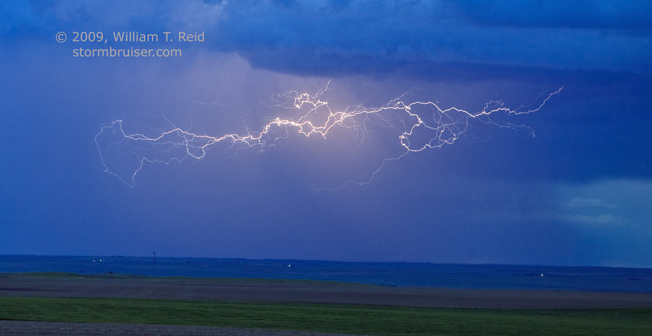
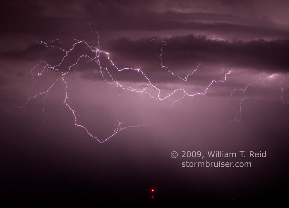
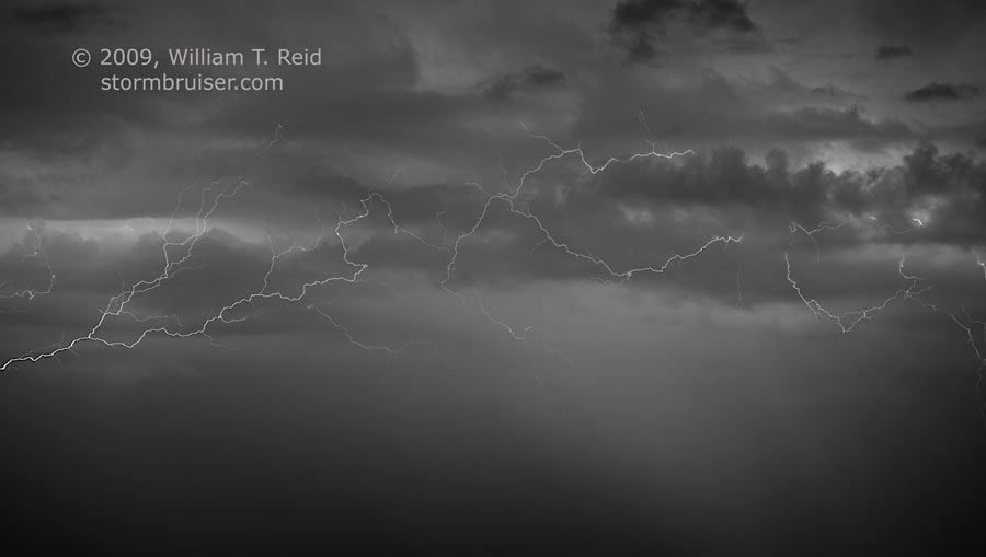
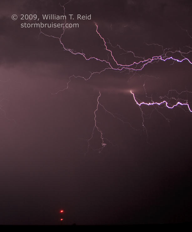
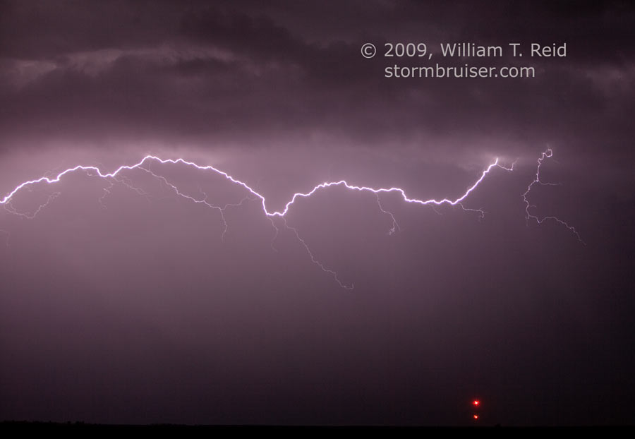
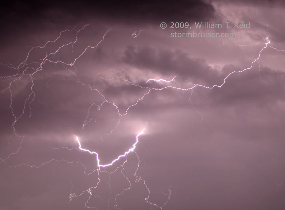
After dusk a stronger cell developed in northeastern Colorado and headed towards I-80 in NE. The occasional in-cloud lightning provided a challenge photographically, and I caught a few on CCD. I think it was on this evening when a surprise heavy thunderstorm clobbered Fort Collins. I wish we had been there. We headed to Kimball for the night.
Speaking of “devoid”, why aren’t “revoid” and “disvoid” words? Well, maybe “dis void” is. I found the following on the Internet for Malaysia Forum Club of Myvi Owners:
“Lastly , if i add a set of pivot voltage stablizer on de engine , does dis void de waranty of de car engine?”
Leave a Reply
You must be logged in to post a comment.