
 This was the first full chase day for the Tour 6 guests, and my chase team of Chuck Doswell, Rob Petitt, and Doug Raflik. On the previous day we gathered in Denver, and chased some crummy high-based junkus west of Glendo, WY. We began the 21st in Chadron, and headed north into northwestern South Dakota. Here is a little forecast blurb that I posted to a chase group late this morning:
SPC has IA in a 10 percent tornado risk, but we are unable to reach that area today. We are leaving Chadron and targeting northwest SD, where adequate shear and instability should be in place for a supercell or two by late afternoon. A lobe of dews in the low 60s is pooled in the western Dakotas, and forecast CAPE values are near 1500 by 4 p.m. 500 flow at 35 kts from the SW looks good, above a deepening 998 mb surface low near Wall, according to the RUC. We will place ourselves in the backed surface flow north of the low, on the theta-e axis, perhaps along State Route 20 somewhere between Buffalo and Meadow.
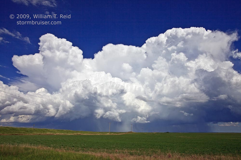
The target area worked out well, as a couple of severe cells materialized by mid-afternoon near Bison and Faith, SD. We found a lone house and had a look to the east at the initial convection between Reva and Bison at 3:10 p.m. MDT…
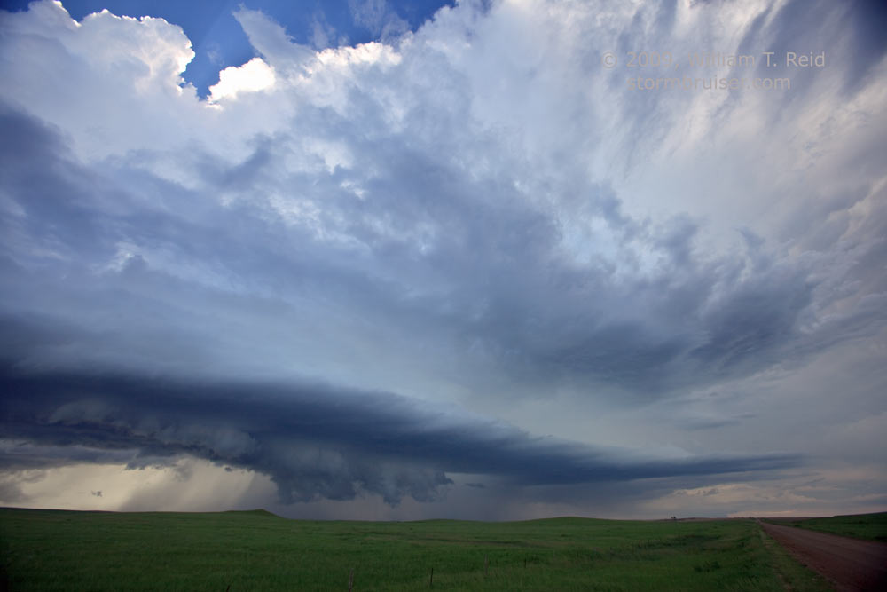
We punched through the storm’s precip along Route 20, and found a lowered feature to monitor back to the west, near Bison.
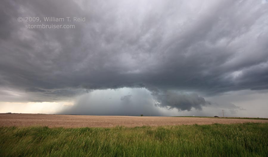
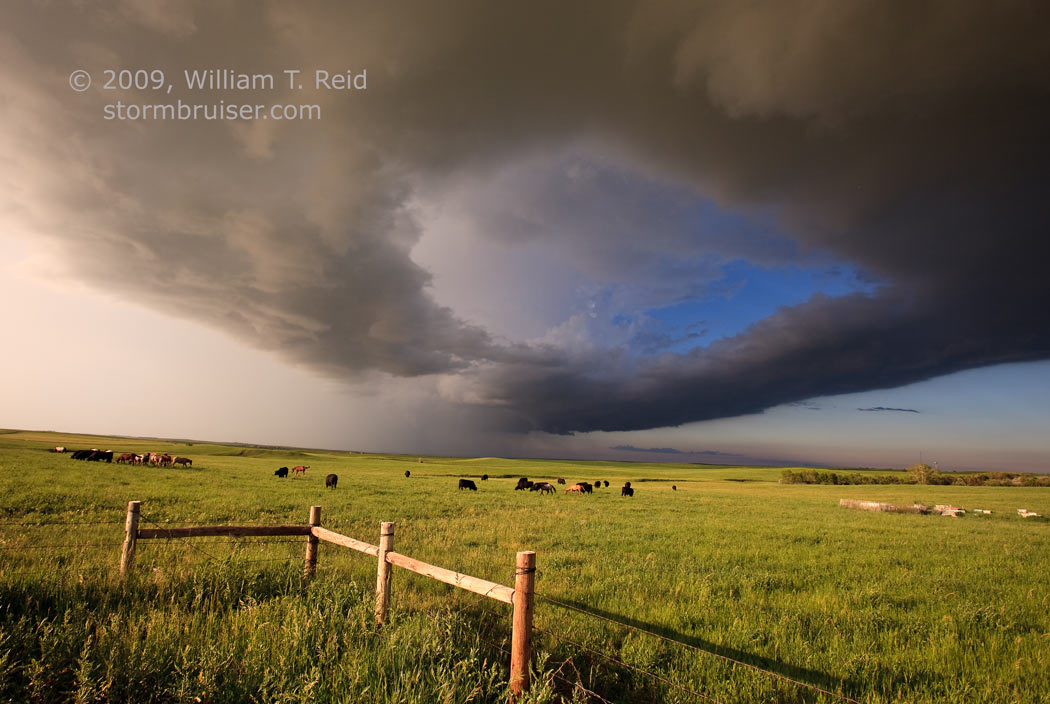
Organization was on the weak side with this cell, and it became messy and heavy with outflow. Another cell was in the works down south, north of Faith. After an ill-advised start eastward on 20 from 73, we back-tracked to 73 and punched southward through the core. The hail stones were small, and the storm structure was pretty good (back to our north) once we reached 212 and the Faith area.
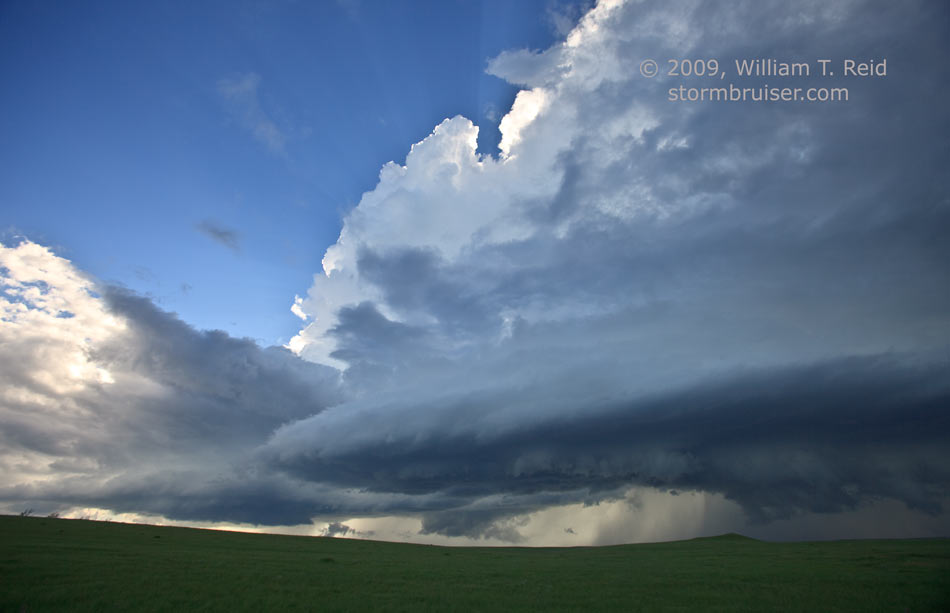
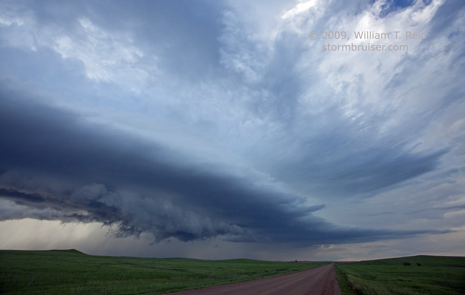
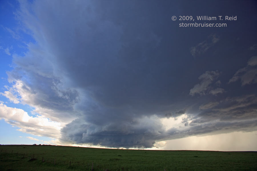
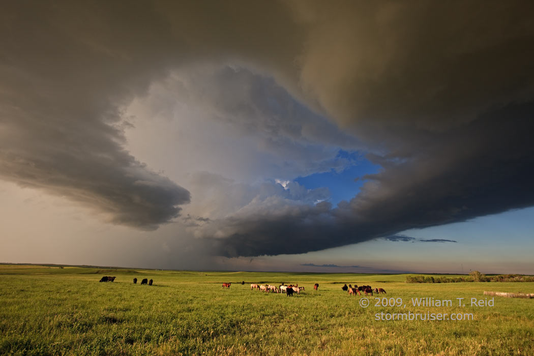
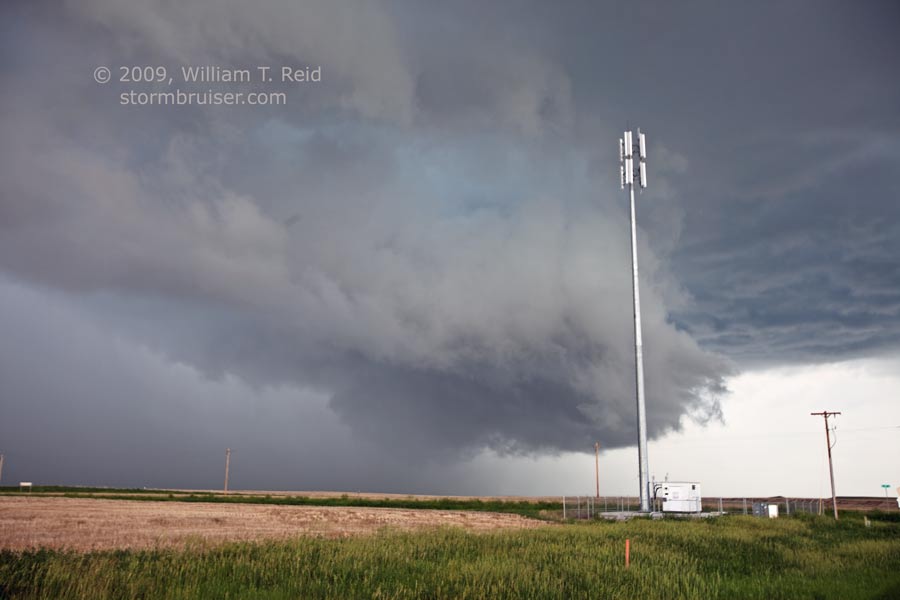
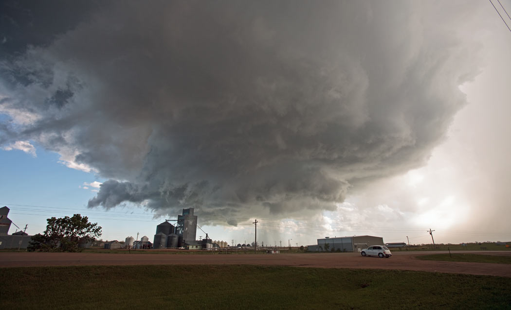
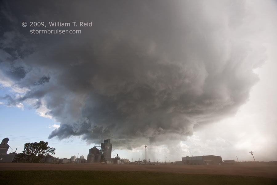
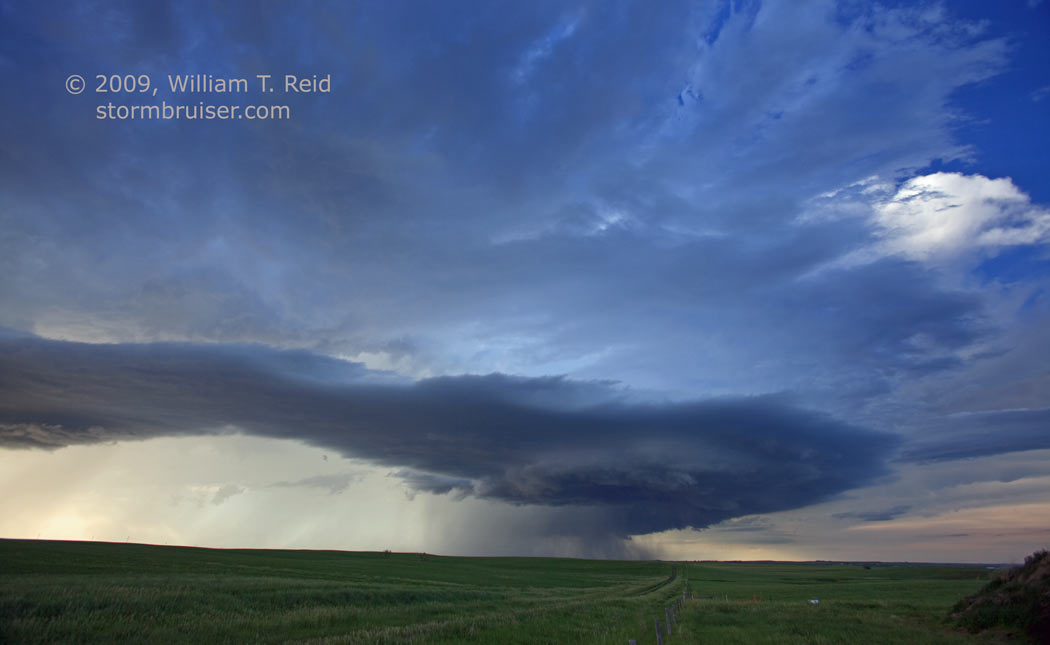
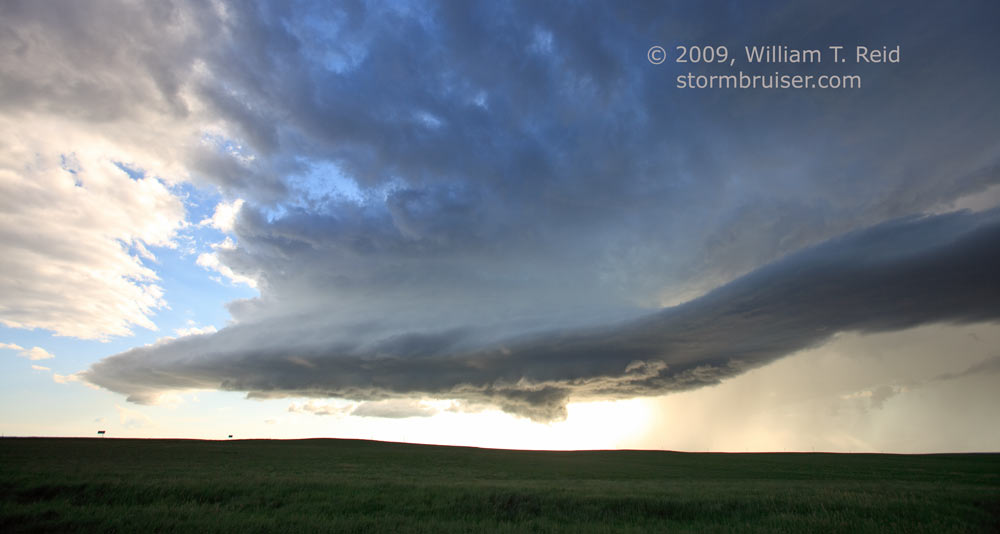
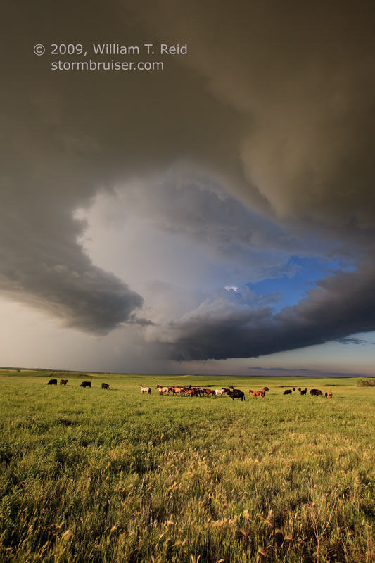
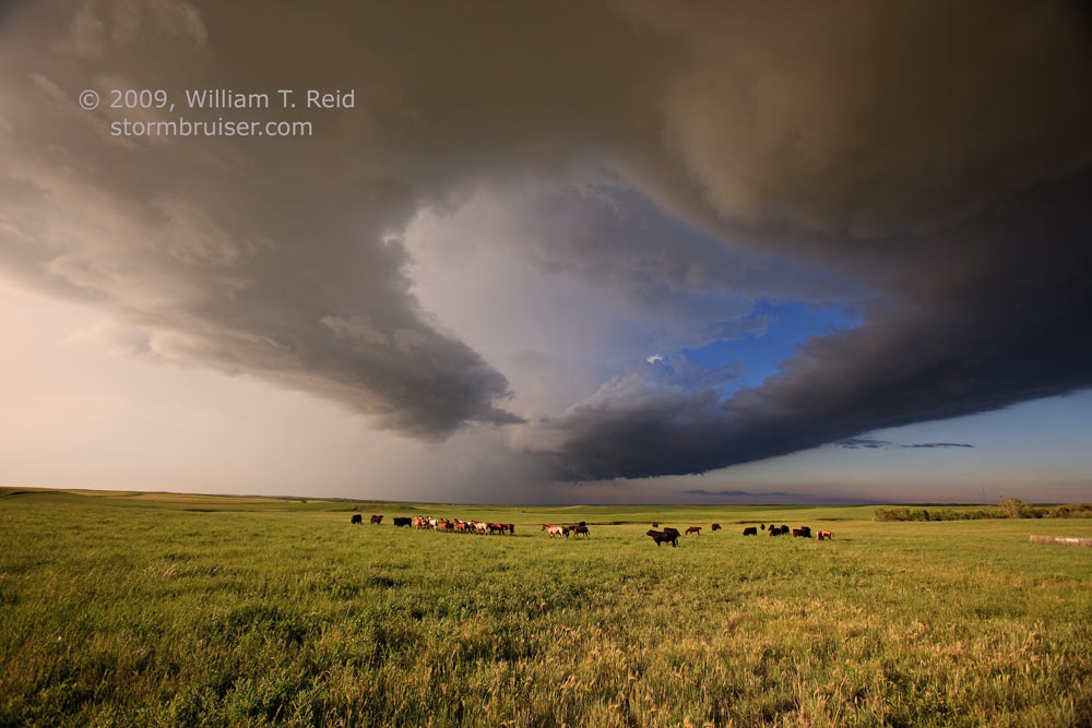
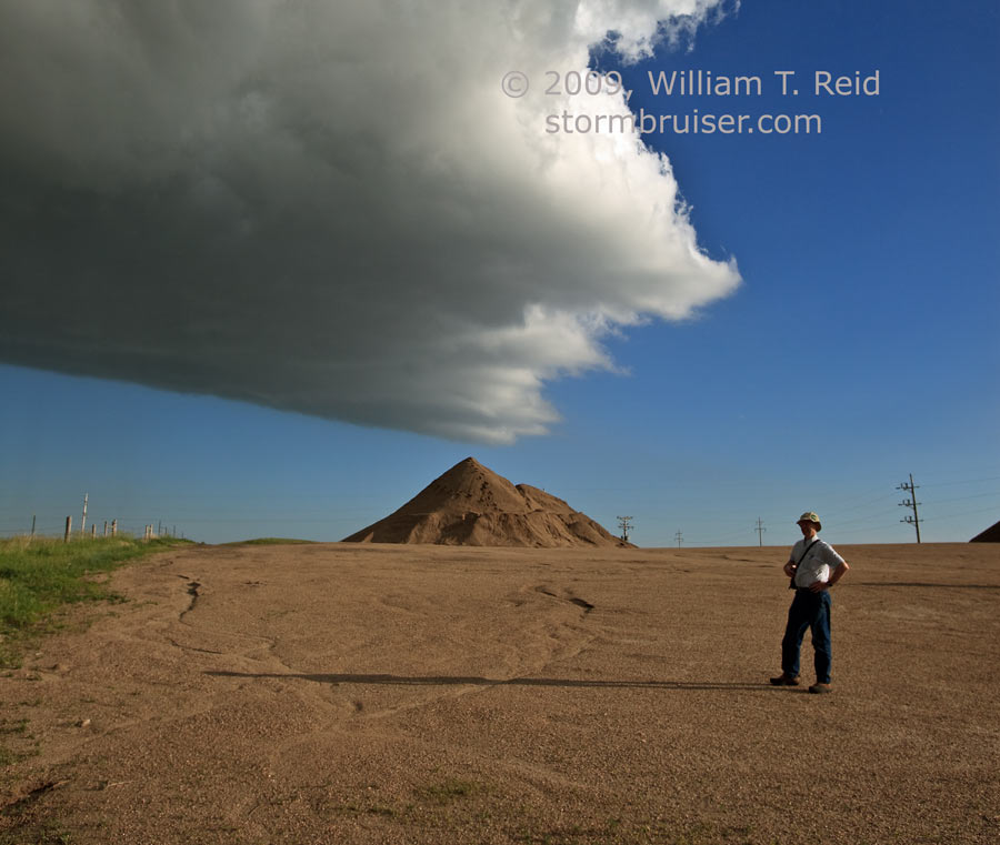
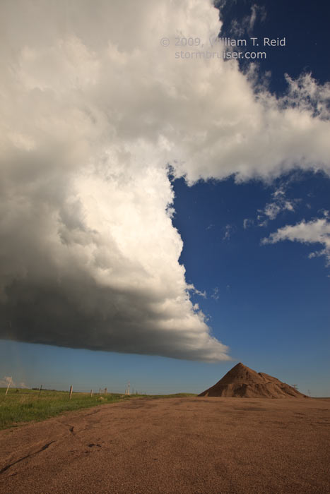
Time was about 5:30 to 5:40 p.m. MDT for the images above. This supercell looked great above the green and empty Cheyenne River Indian Reservation, but it wasn’t making much of an effort for tornado enthusiasts. We stopped for a break in Dupree, the county seat of Ziebach County. A new updraft quickly developed just southwest of town, and dust blew through the empty streets. These shots were in Dupree and then east of town a little, from 5:55 to 6:02 p.m. MDT.
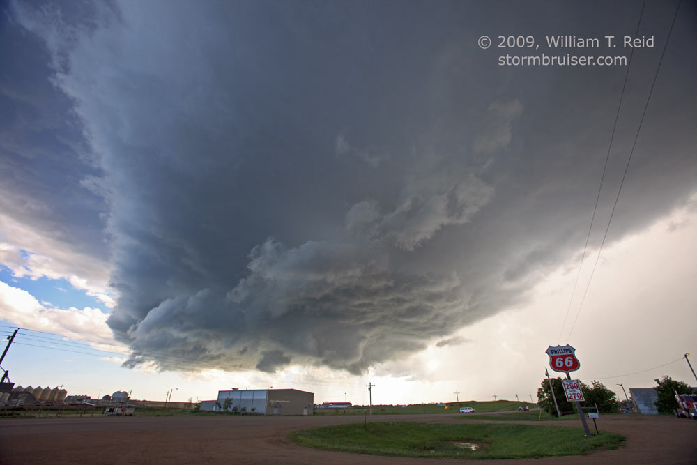
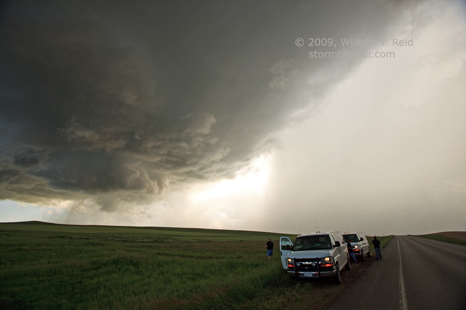
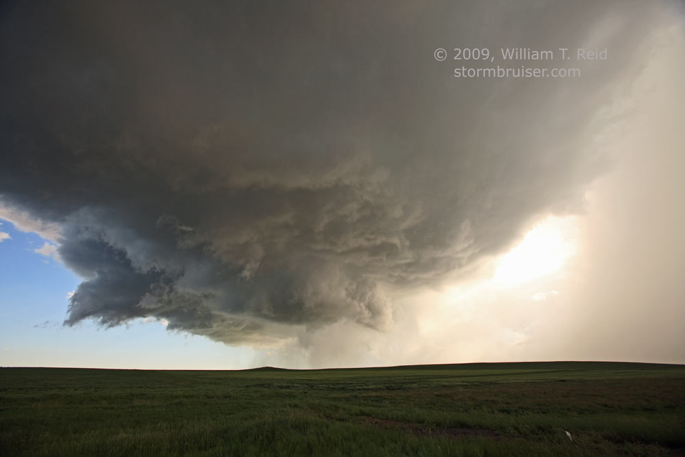
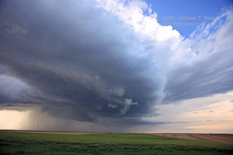
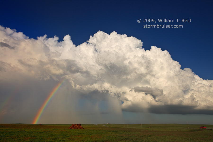
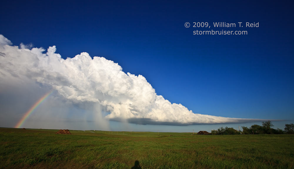
Our new cell chased us eastward along 212 into Dewey County. We were presented with several pretty photo-ops, culminating with the mandatory and obligatory rainbow images as the cell weakened and drifted east of Eagle Butte.
Leave a Reply
You must be logged in to post a comment.