
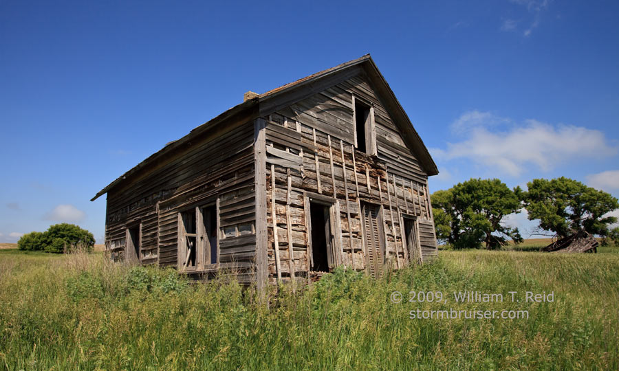
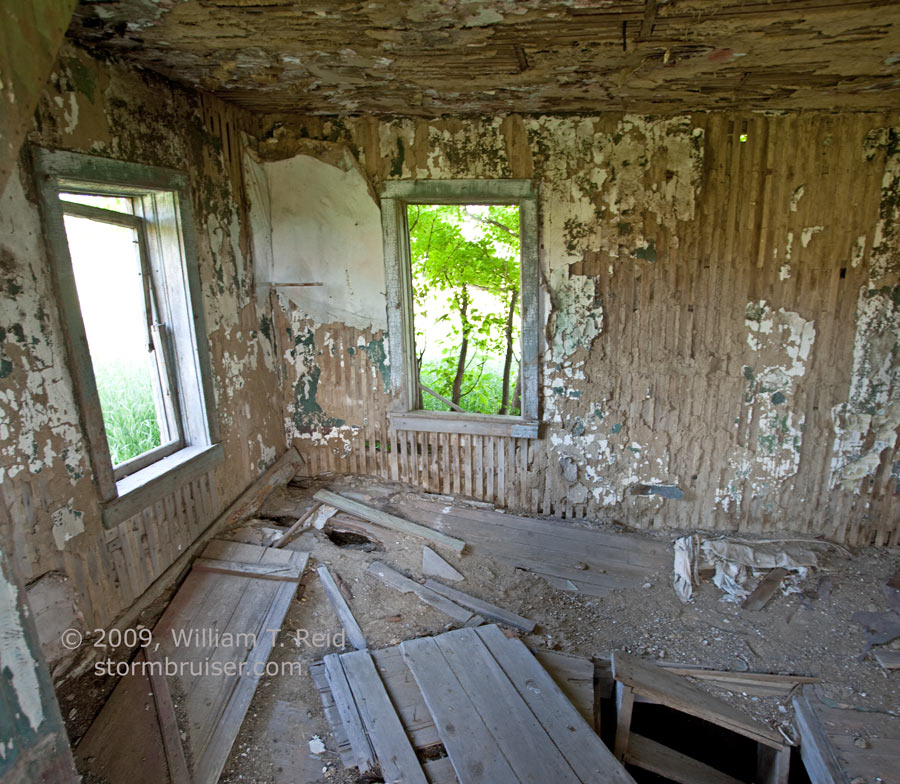
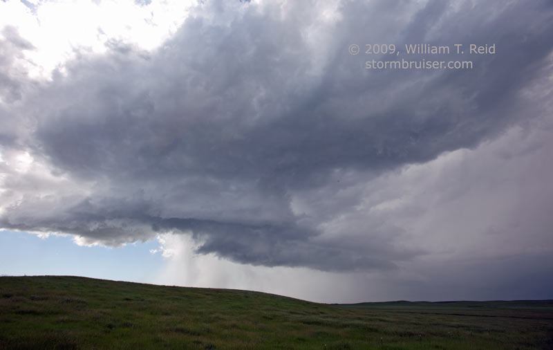
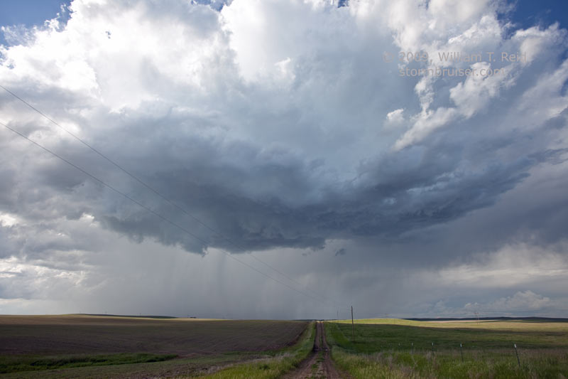
I called the storms on this day “junky”, though I suppose there were some supercell characteristics to them. The surface setup was weak, so expectations were not especially high. We began in Mobridge, SD, and wandered north along the Missouri River to Pollock. I thought that the area just east of the river near the SD/ND border would be the best bet for severe. We found an old house to explore, and had lunch in Pollock. After lunch it became apparent that we needed to be west of the river for storm development, so it was back down to Mobridge and west to Lemmon. A couple of storm cells went up along Highway 12, but these were weak and high-based. The one near McIntosh had a decent look with some structure for a time (last two images below). In the late afternoon another storm developed just north of the SD/ND border, moved east of the river, and became tornado-warned. The only way for us to get to it, though, was southeast to Mobridge and north from Selby. This route to get across the river cost us about an extra hour, so by the time we were closing in on it near Mound City, the cell was croaking.
I figured that the few crossings over the Missouri River might be a problem today, and that’s how it wound up. In hindsight, we would have been better off sitting in Pollock all afternoon and waiting..and waiting…and waiting. We would have wound up in good shape for the storm of the day, but wondering all afternoon what those cells near Lemmon and McIntosh looked like. I recall seeing a funnel-like feature with the tornado-warned cell in southern Emmons County, ND. This was while we were some 40 miles south of it, between Mobridge and Selby. There were no tornado reports with the storm.


Leave a Reply
You must be logged in to post a comment.