
 That’s “Bad” as in “yuck”. The target was Rapid City upon departure from Mitchell — an easy 3 or 4 hour drive on I-90. A tornado watch was issued for SW SD, and we were in business, near Wall. Some storm towers went up to our sou WAIT JUST A GOL-DARN MINUTE HERE! This was the day that Michael Jackson died! Everyone in South Dakota knows where they were when they learned of the death of the King of Pop! We were hanging out in the shade of a convenience store in New Underwood…a nothing place 20 miles east of Rapid City. What is new about it, anyway? Where is the regular Underwood? Did the original wood rot? Actually, I apologize for taking out my chase frustrations on this fine town.
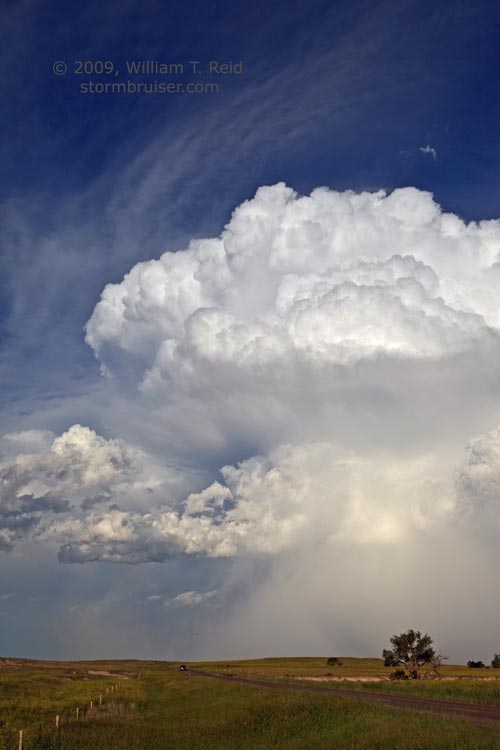
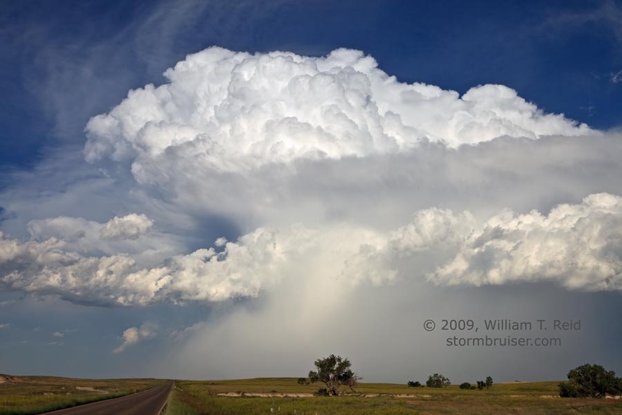
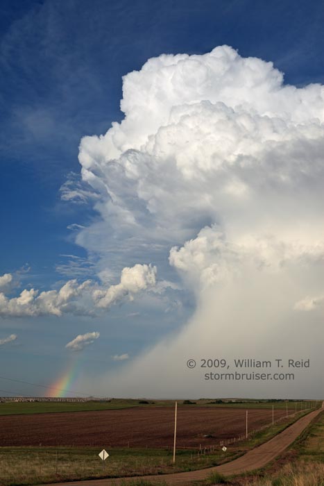
Okay, some storm towers went up near the Black Hills, and a decent one drifted into Shannon County. We tried to get to it via Route 44 through the Badlands. The storm was severe-warned at least once, for hail and wind, but it was high-based and moving too quickly to the east for easy intercept. We went to Interior and dropped south to the road to Wanblee. The storm continued as a high-based hailer, to our east. Fittingly, we watched it die in Jackson County. Didn’t Michael do a song called “Bad”?
I was not impressed with the look of the storm, but took a photo or two, anyway. The landscape and sunset stole the show this day.


Leave a Reply
You must be logged in to post a comment.