
This was the final chase day for Tour 6, so we were hoping to wind up the day within a few hours of Denver. Mother Nature cooperated nicely. We started in Chadron, following the previous day’s dud storms in the Badlands area of SD. Chuck Doswell lectured the group for an hour on severe storm types and definitions, and then we dropped south to Alliance for lunch. I was targeting the area from about Oshkosh to Ogallala in western Nebraska, along an axis of high dew points (66-68F!) and instability. 500mb flow was from the SW at 30 knots, so shear was adequate for supercells, as surface winds were SE to SSE.
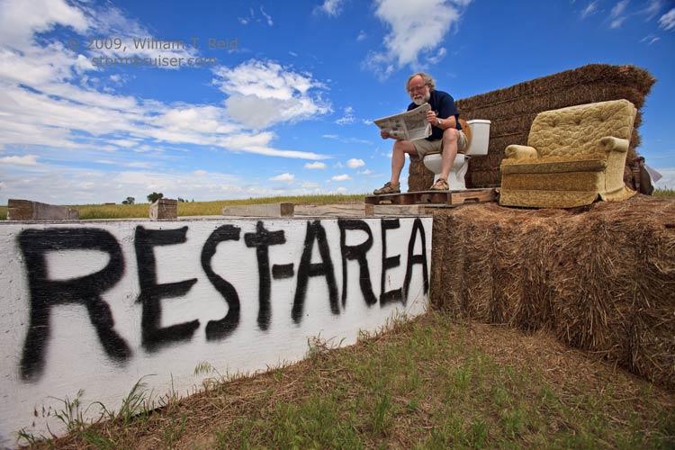
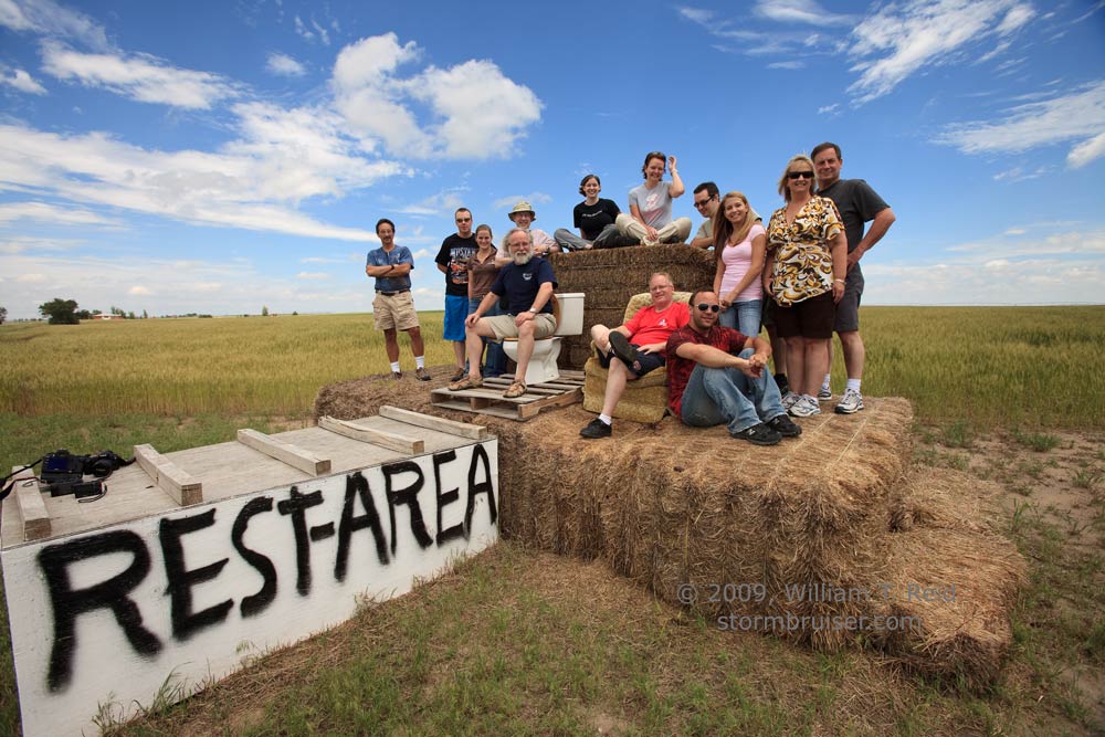
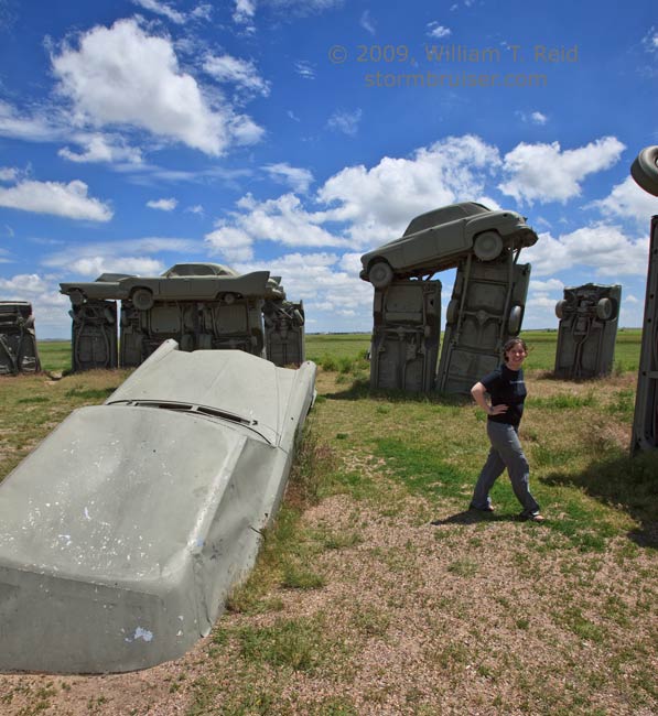
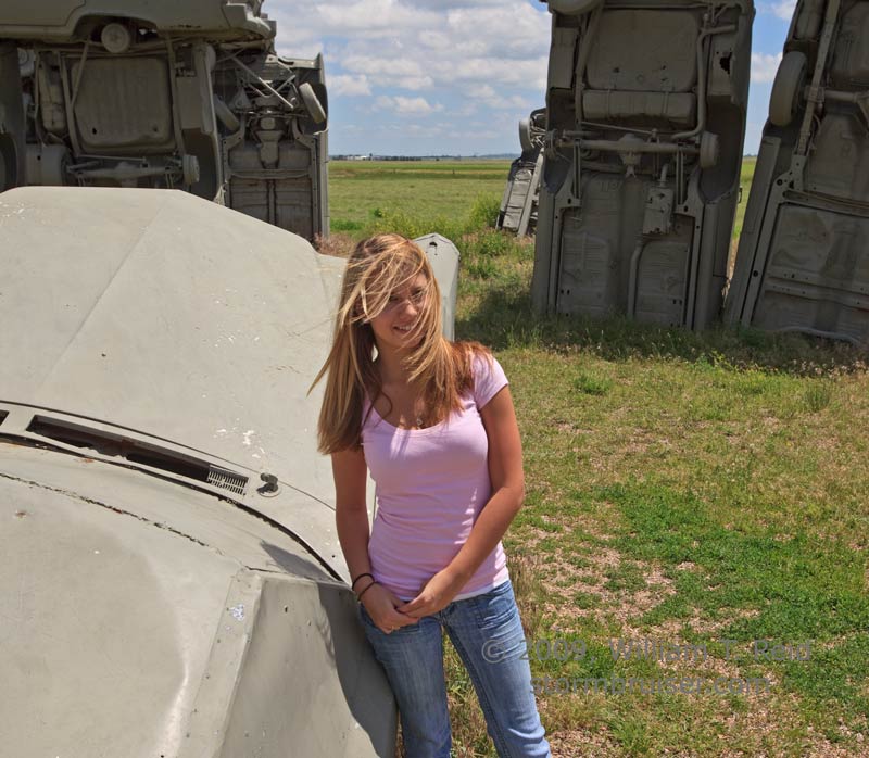
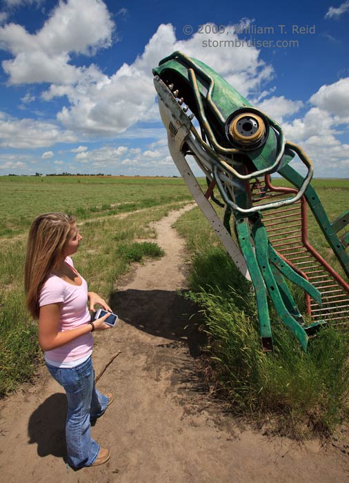
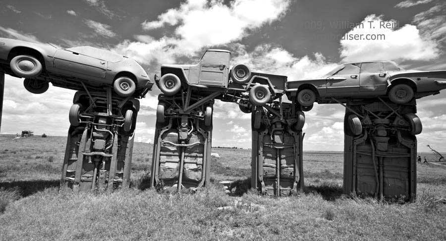
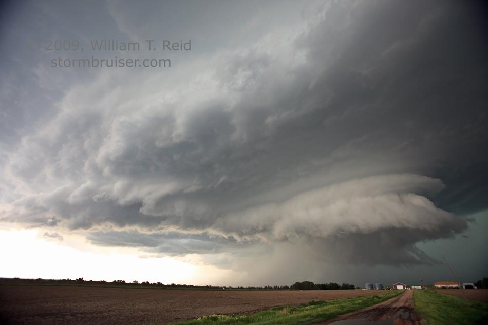
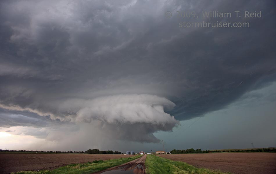
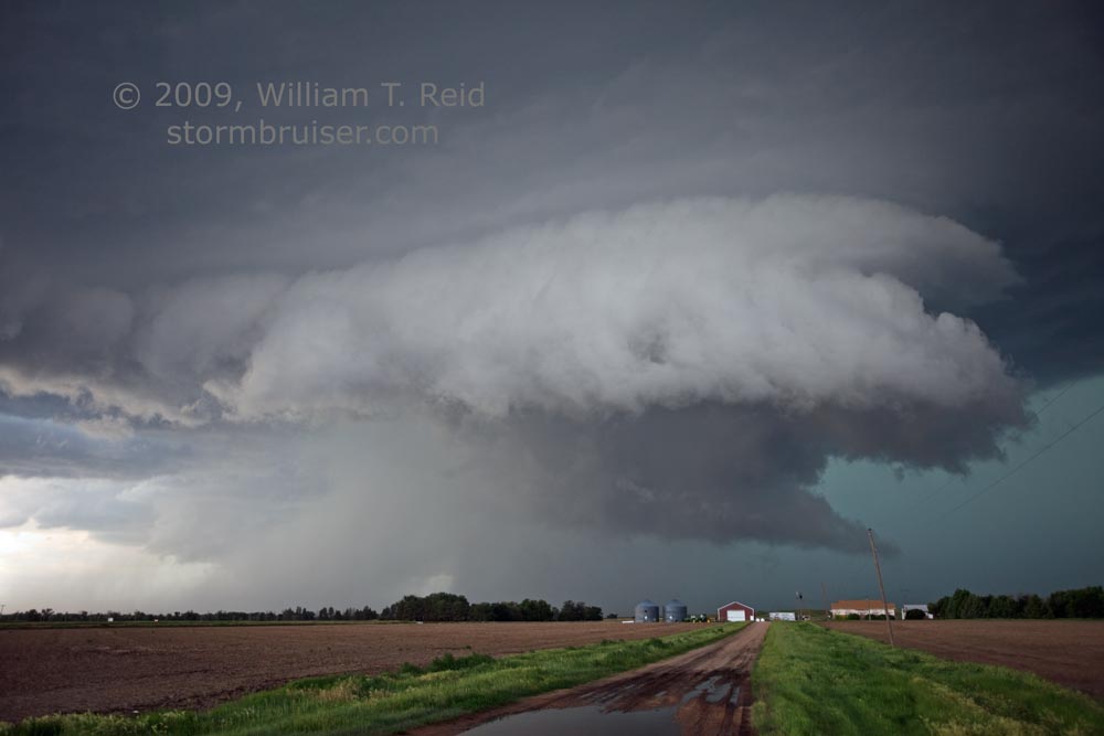
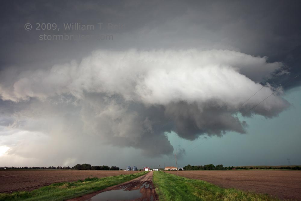
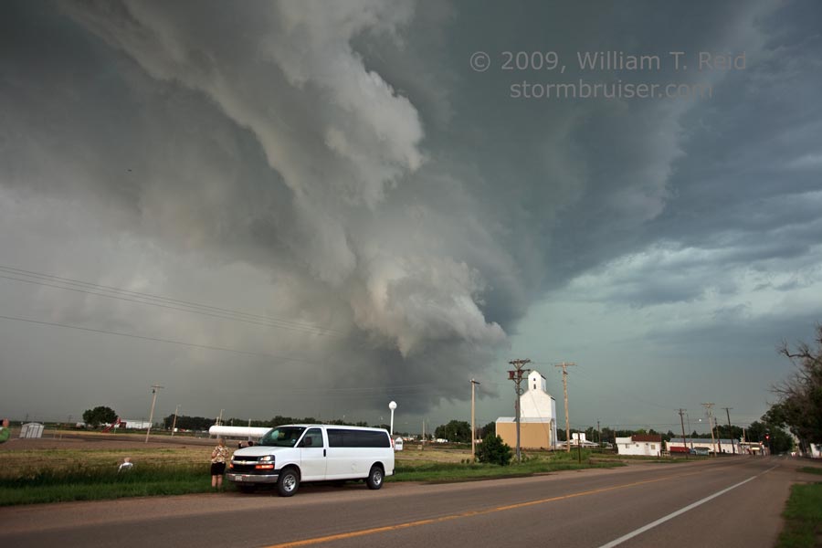
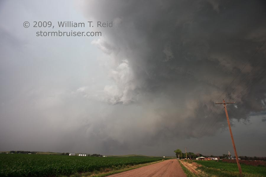
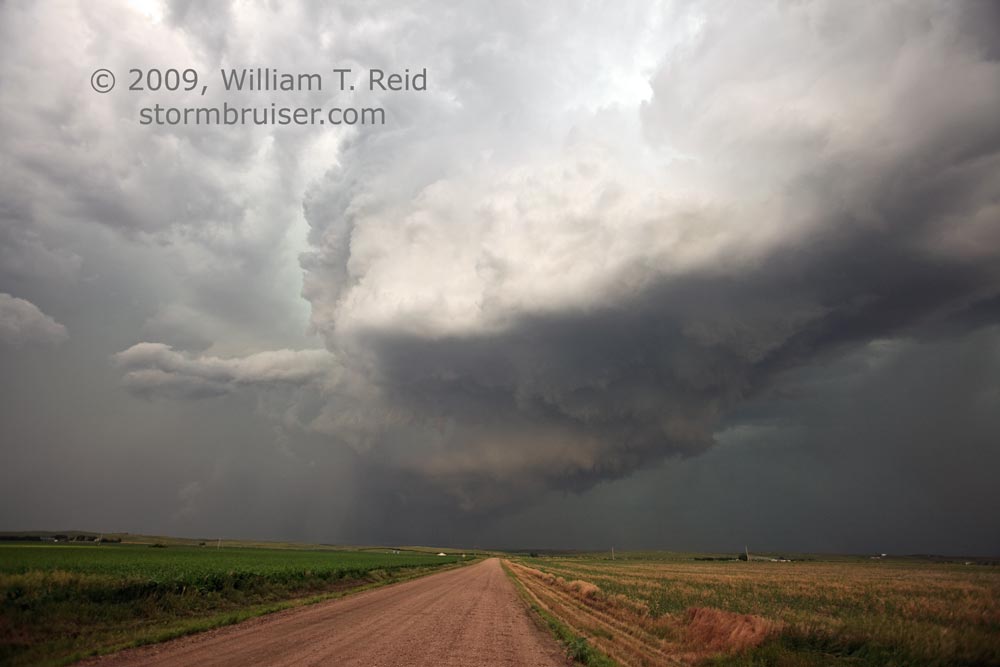
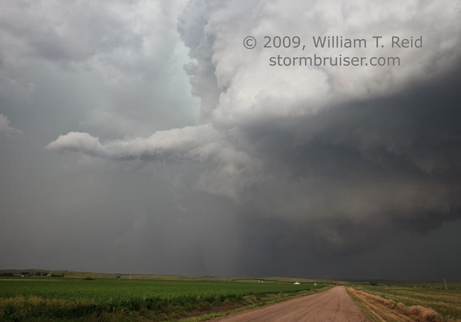
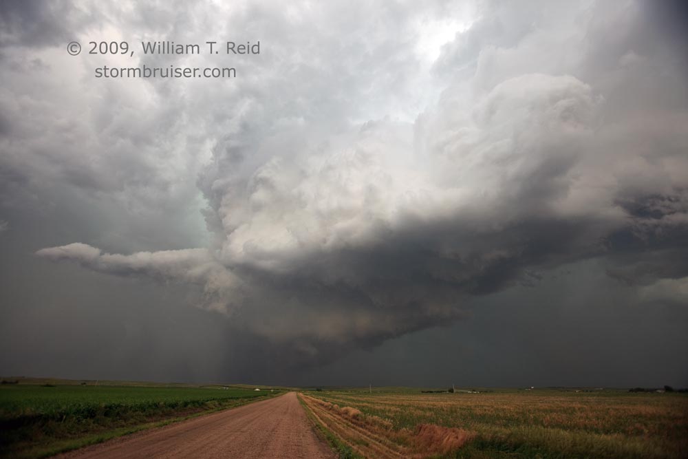
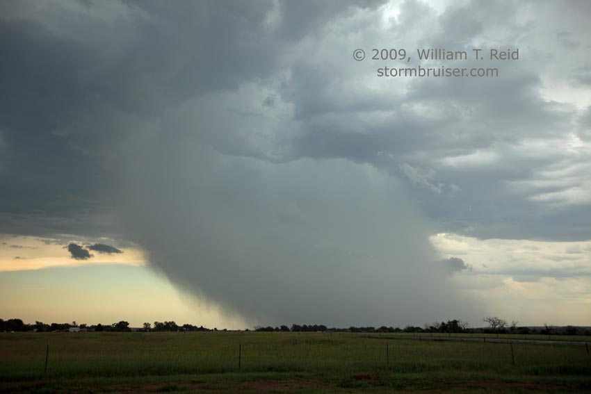
Our Carhenge stop and lunch in Alliance were relatively quick. Still, we didn’t get out of Alliance until 2:30 p.m. or so MDT. A strong CB was already going up to our south, just over the border in northeast CO. It was headed into my target area, and we needed to get on it. U.S. 26 proved quite useful in getting us in front of the cell at Big Springs, NE. By this time it was tornado-warned, due in part to funnel-cloud sightings. The storm was becoming quite the beast, with an impressive sculpted updraft region as viewed from the east side. The cell moved ENE into Big Springs, and the sirens were sounded as we watched its approach. A large lowering was adjacent to an area of precip beneath the updraft base. The wall cloud did not exhibit strong rotation, but rotating precip curtains were coming our way from the southwest. The storm was wrapping up fast as the RFD cut into the updraft base. We were chased east several miles, and looked back to see an HP (high-precipitation) type of supercell.
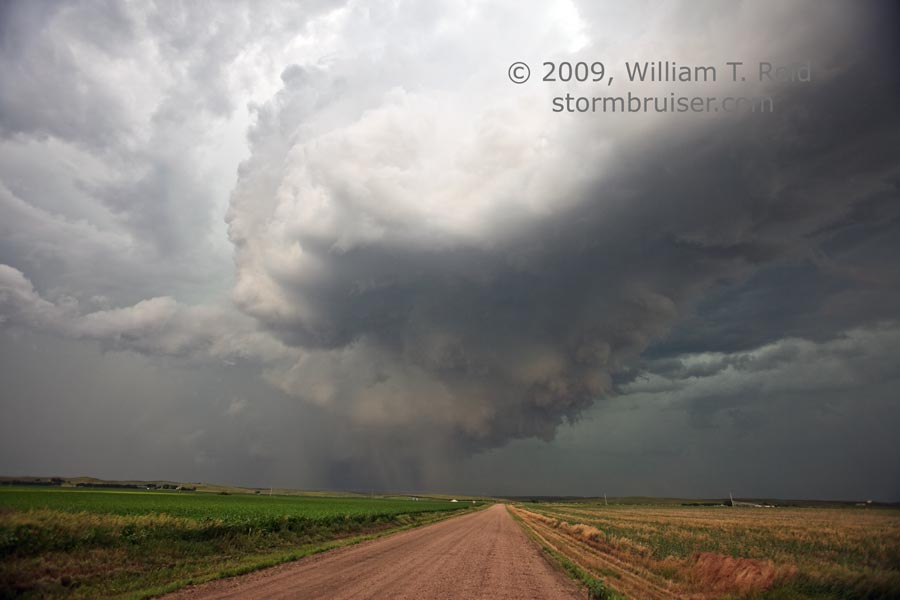
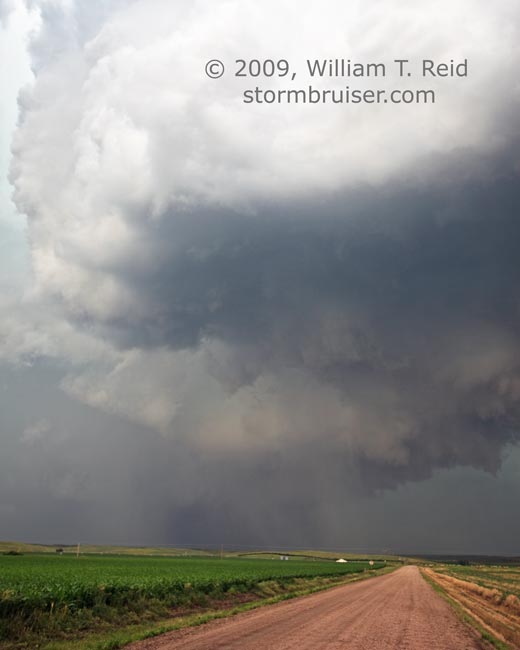
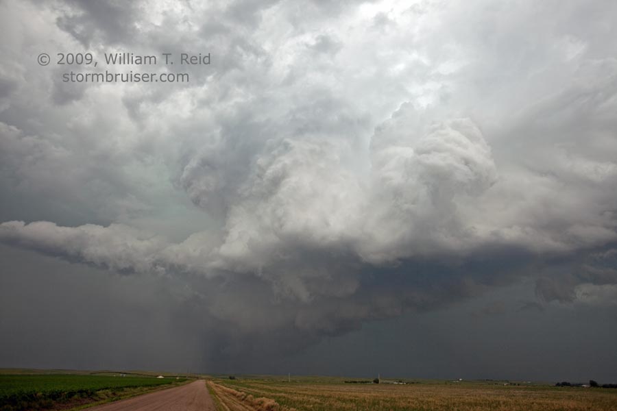
A bit farther east, along U.S. 30 and a couple of miles west of Ogallala, we had a great look at the south and west sides of the updraft barrel and RFD cut (to our north). A tight area of precip was wound up beneath the cyclone, and a horizontal funnel poked westward from the base. There may or may not have been near-tornadic winds associated with this meso…we didn’t observe “violent rotation” or power flashes.
Our severe storm continued somewhat slowly to the ENE into a region with a poor road network. We went north from Roscoe to Keystone, and the action area was several miles to our north. The cell was becoming weaker and less organized, though, as numerous nearby storms were forming and affecting our cell in a negative fashion. But, the storm’s early demise, and the absence of other severe storms within reach, allowed us to make our way into Denver for the night.
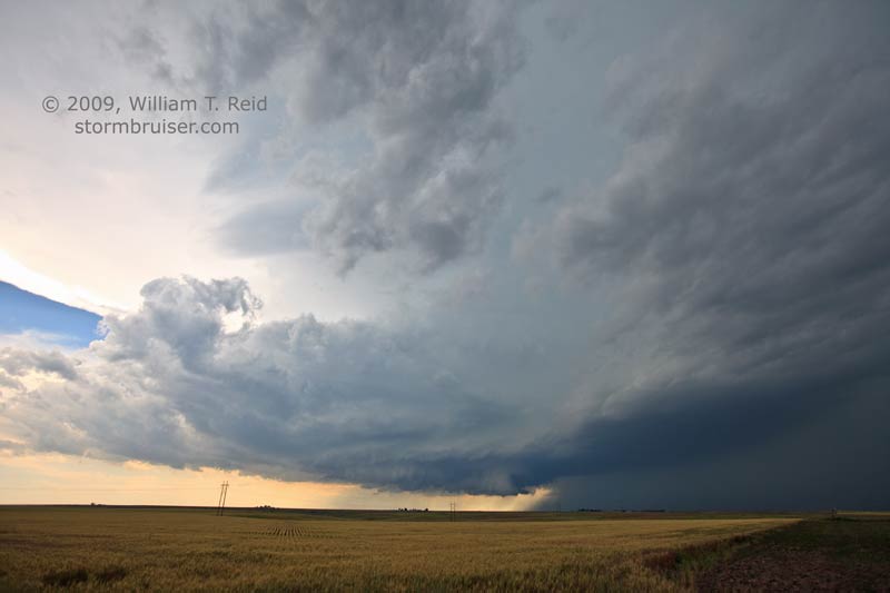
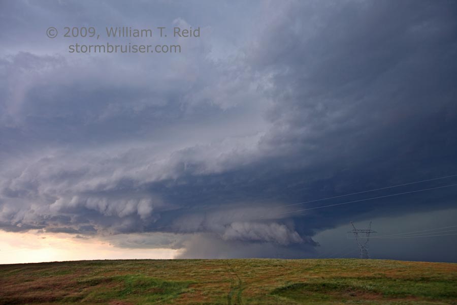
The first image below is looking WSW from about eight miles north of Big Springs, in Deuel County, NE, at 3:50 p.m. MDT. The second image is ten minutes later, near Big Springs. (Check out the curvature of the Earth!) The next four images (8357 to 8361) were from 4:04 to 4:06 p.m. MDT, about two miles west of Big Springs and looking west. The seventh image was shot in Brule, I think, at 4:30 p.m. The remainder (except for the final image) are looking north, a few miles west of Ogallala, from 4:37 to 4:48 p.m. MDT.
Leave a Reply
You must be logged in to post a comment.