
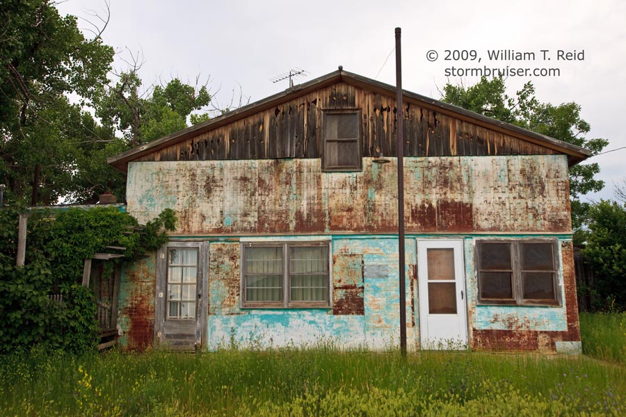
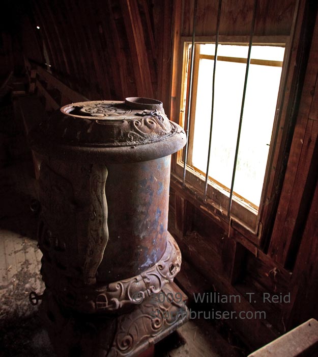
Our group began this chase day in Lemmon, SD, and our target area was not too far away—southeast MT and into extreme western SD. We lunched at Big J’s in Hettinger, ND, and dropped south from Bowman to Buffalo. Storm initiation occurred to the west, above the (mostly) road-less expanse of western Carter County, MT. Instead of quickly tracking down the updrafts on the dirt roads, we waited along the MT/SD border. Hopefully, this strategy would help us to stay out of trouble on the sparse unpaved road network; and allow us a better chance to be in the right place later on, towards sunset, when conditions are typically better for tornados. While waiting for a high-based cell to approach, we explored a couple of places that I had not visited yet — Camp Cr00k, SD, and Capitol, MT. There isn’t a whole lot here for the typical tourist, but there are plenty of unique opportunities for an “old-stuff” photographer! We drove from Camp Crook to Capitol and back, and I can’t recall seeing another vehicle.
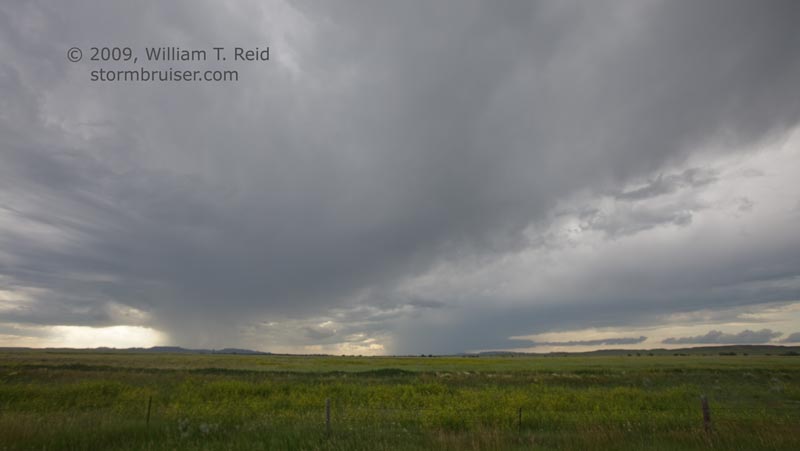
By late afternoon our cell to the west had split. The north member (left split) actually looked better, as it moved north towards Ekalaka. We stuck with the right split, and it gradually strengthened as it moved southeast towards Belle Fourche. It took a while to get to the storm from Camp Crook, and we were unable to get in position in front of it north of Belle Fourche. We drove through part of the core and saw some small hail and strong winds. The storm was outflow-dominant, without much of a tornado chance, so I don’t think we missed too much.
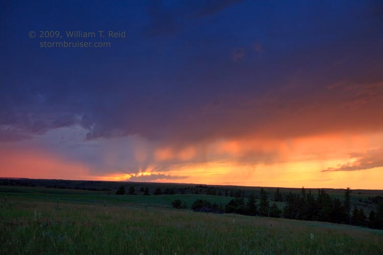
As the cell weakened and moved away, we drifted west into northeast Wyoming and found a nice high spot to watch the sunset.


Leave a Reply
You must be logged in to post a comment.