
The Mojave Desert is photography dreamland, if you are into simple, bleak, stark, barren and empty. And, the impact of man adds a few intriguing photographic opportunities. On the second day of December I headed towards Las Vegas on Interstate 15, and the following day I spent some time with the camera in and around the Cima Dome and Kelso, in the Eastern Mojave Desert.


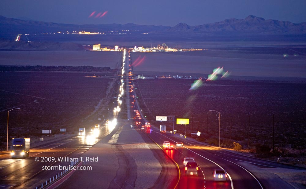


Above: the 1st, 2nd, and 4th images above were taken from south of Baker, near the Zzyzx Rd. exit. View is to the east and southeast, across Soda Dry Lake. The Kelso Sand Dunes can be seen in the distance in the second image (0650). The 5th image (0659) shows traffic along I-15 across the Shadow Valley. Mountain Pass is in the distance. The last three images were all taken from the Nipton Road overpass, north of Mountain Pass. The view is to the north, across Ivanpah Dry Lake. The gambling community called “Primm” (formerly called “Stateline”) is on the north edge of the dry lake. The hotel and casino at Jean, NV, can be seen in the distance beyond Primm.
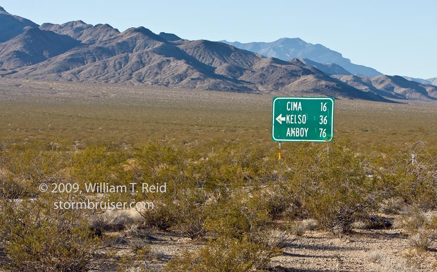
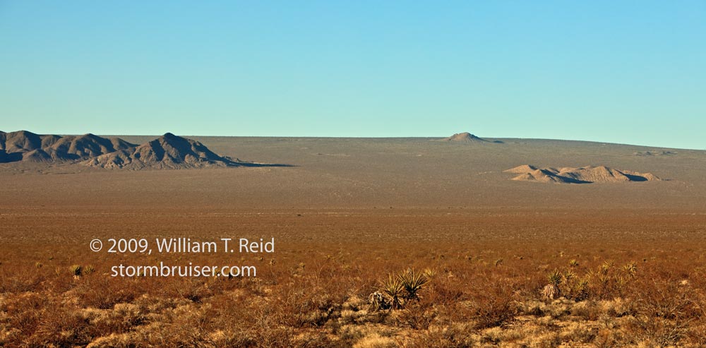
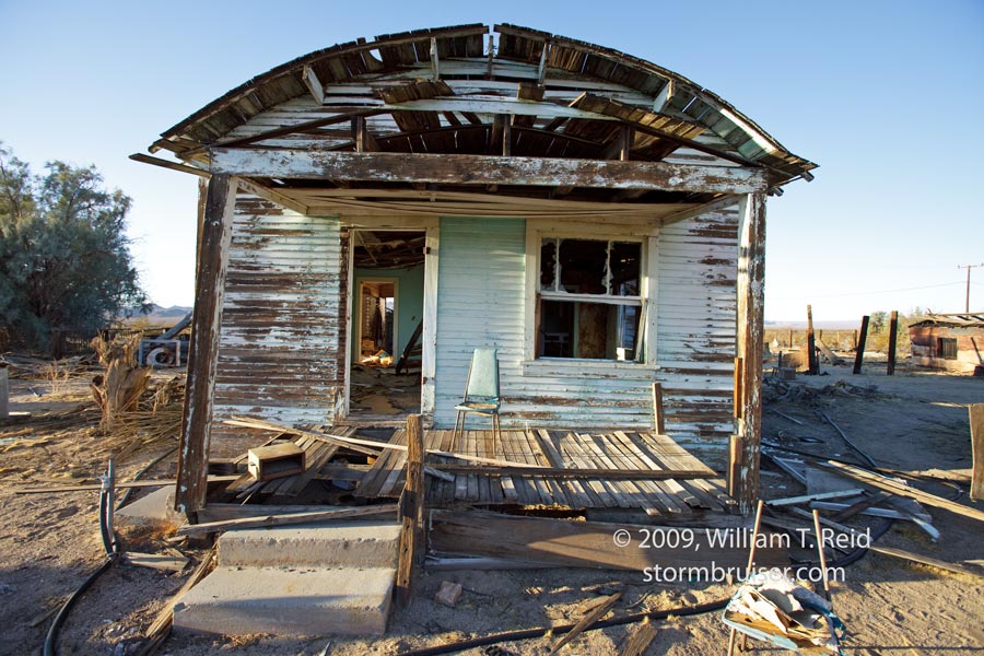
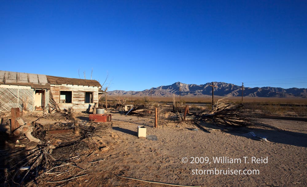
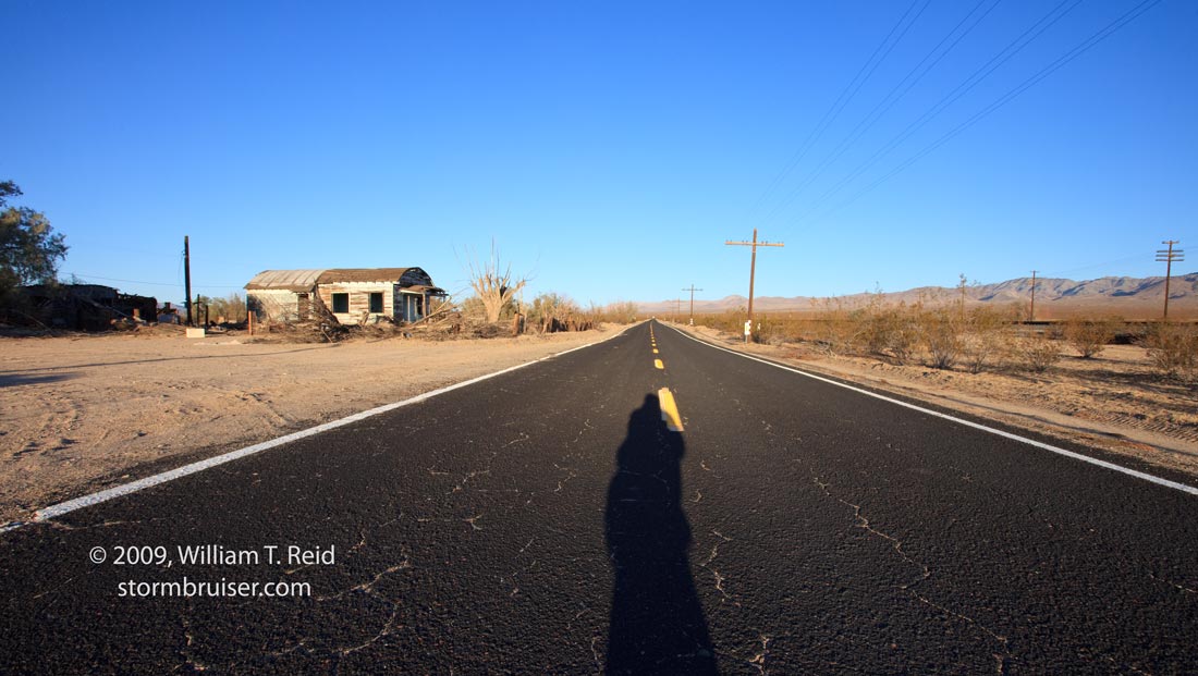
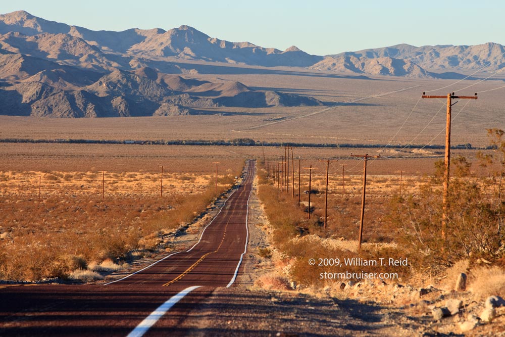
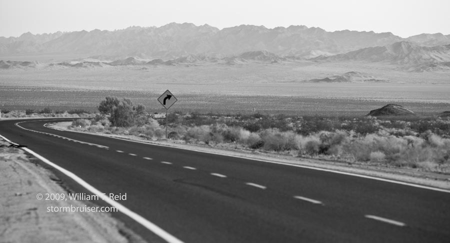
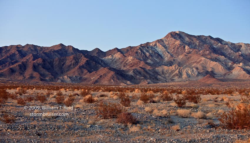
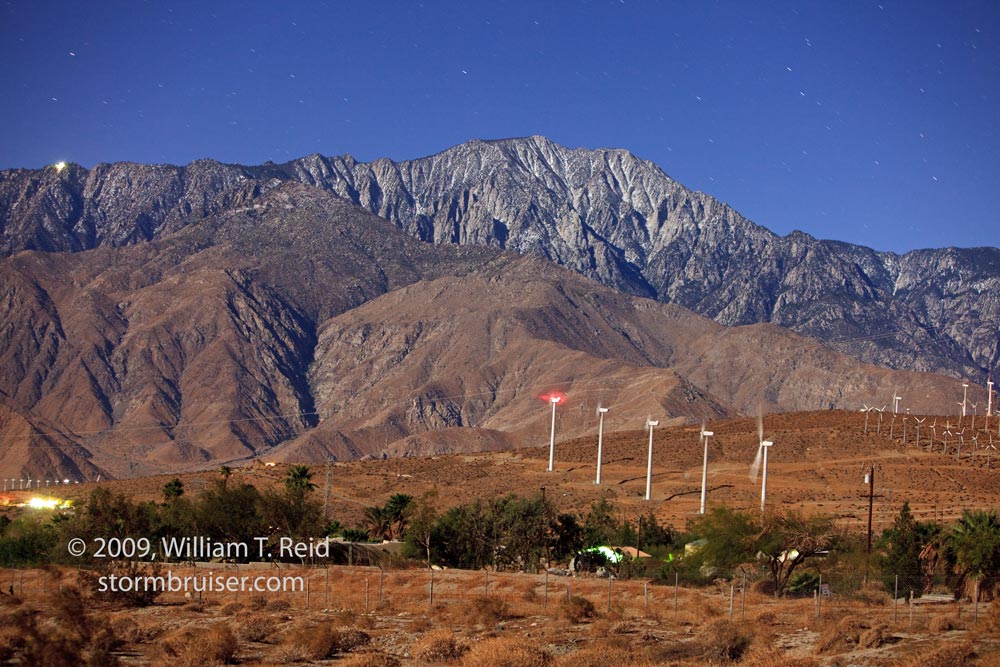
Below: The first five images below were along the lonely road from Kelso to Cima. The area is dominated by the “Cima Dome”, a volcanic feature which looks like a broad bulge from a distance. None of my shots show a good perspective of the dome, however. Maybe next time. The “1926” is engraved into a railroad trestle across one of the many dry desert washes. There are three images which include one of the few houses remaining in Kelso, CA. Then, the next four images (0313 to 0323) were all shot from several miles south of Kelso, on the road to Amboy. 0313 and 0323 show the Providence Mountains, to the east, and the other two are looking north, towards Kelso. 0343 is a shot of the mountains northeast of Amboy at dusk, and the final image is of Mount San Jacinto, west of Palm Springs. The shot is looking primarily south from Route 62 east of Whitewater. The image was taken well after sunset, and the scene is illuminate by the nearly full moon. Exposure time was about 30 seconds.


Leave a Reply
You must be logged in to post a comment.