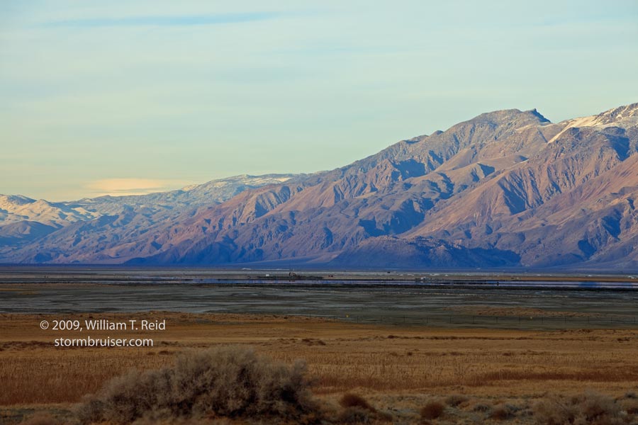
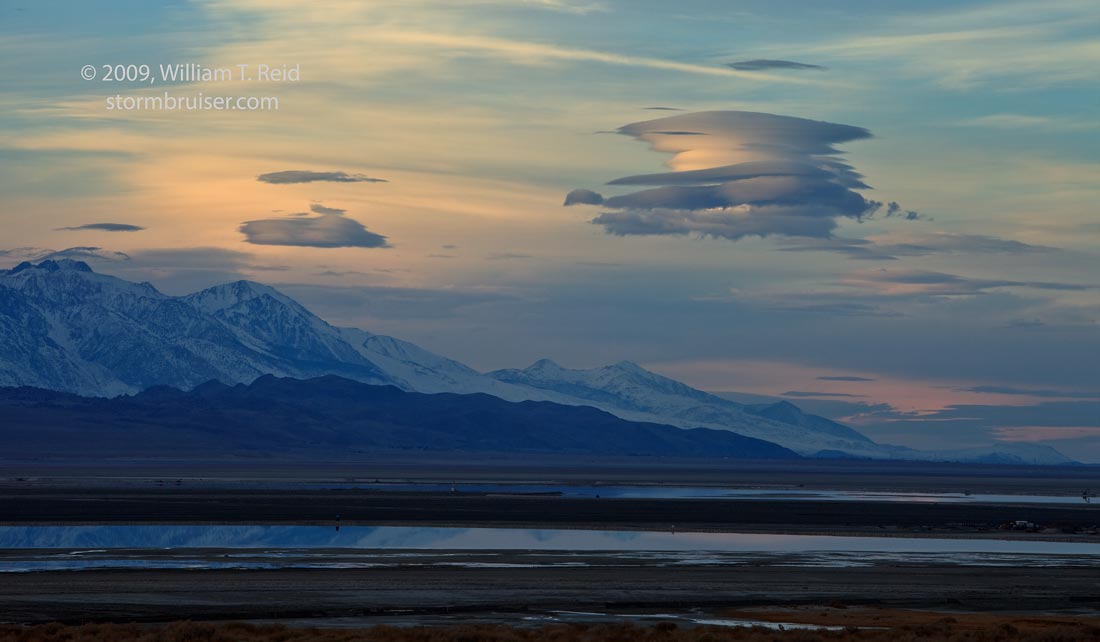
I elected to do a two-day road trip from L.A. to the Owens Valley region in mid-December. Anytime is a good time to visit the Owens Valley, as the scenery is flat-out spectacular. It is easy to wander off into areas where you won’t see anyone else for half a day, so that has its appeal, too. I chose this time frame in part because the moon would be absent during the evening, and skies would be mostly clear (hopefully), and I wanted to see what my camera could do beneath very dark night skies (results here). On the 15th I reached the southern edge of Owens Lake in the late afternoon as the sun settled behind the Sierra Nevada.
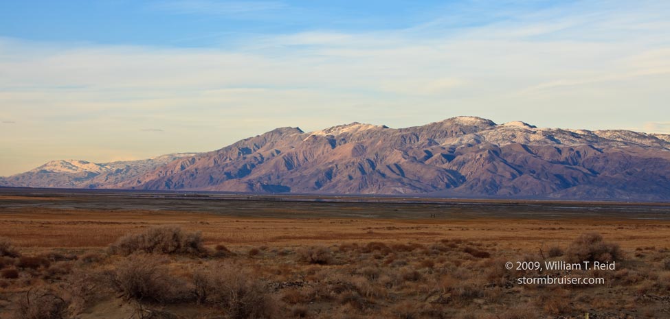
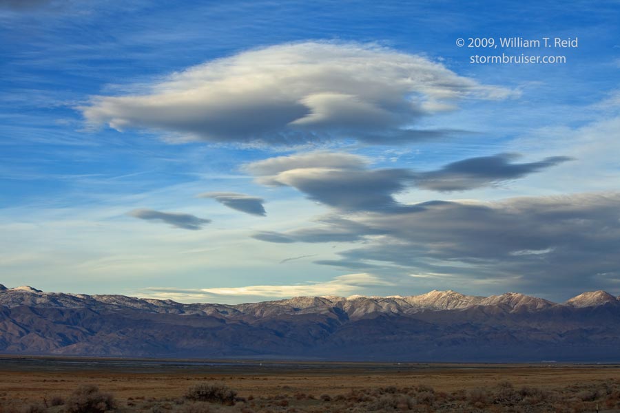
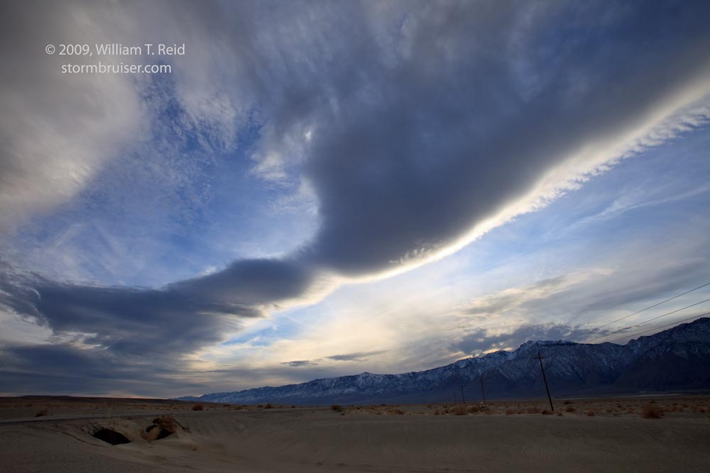
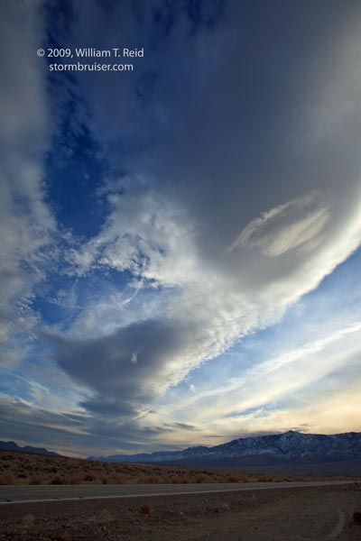
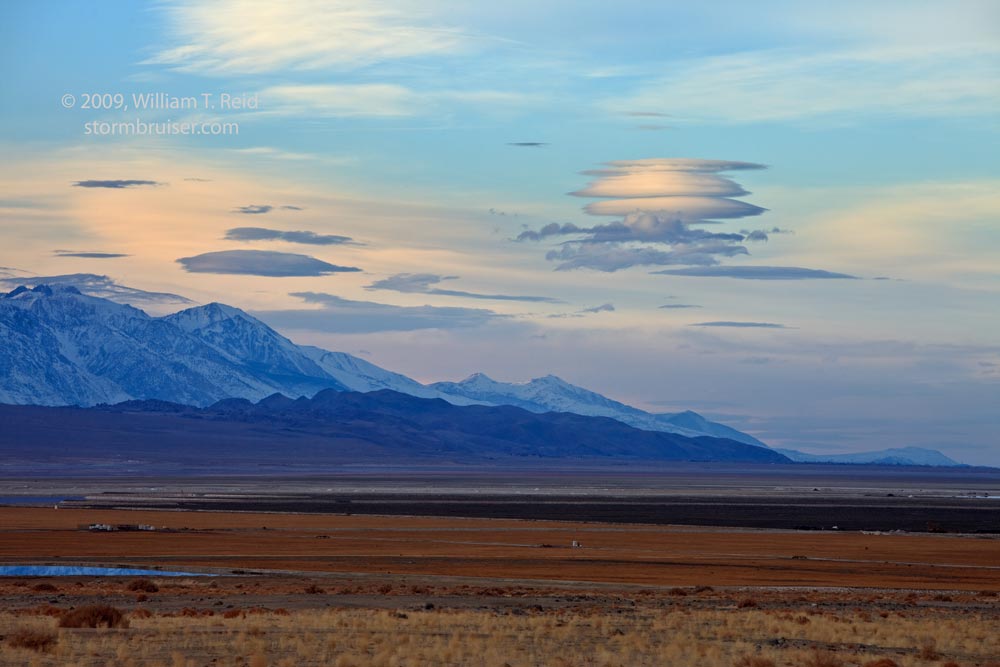
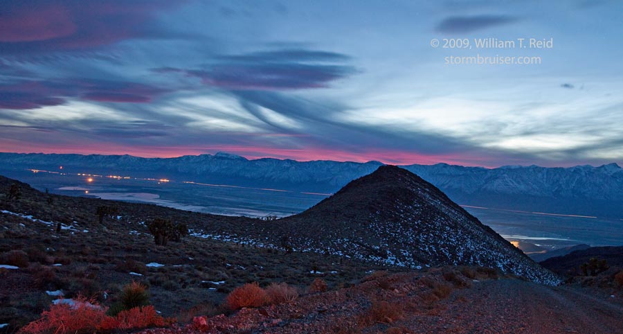
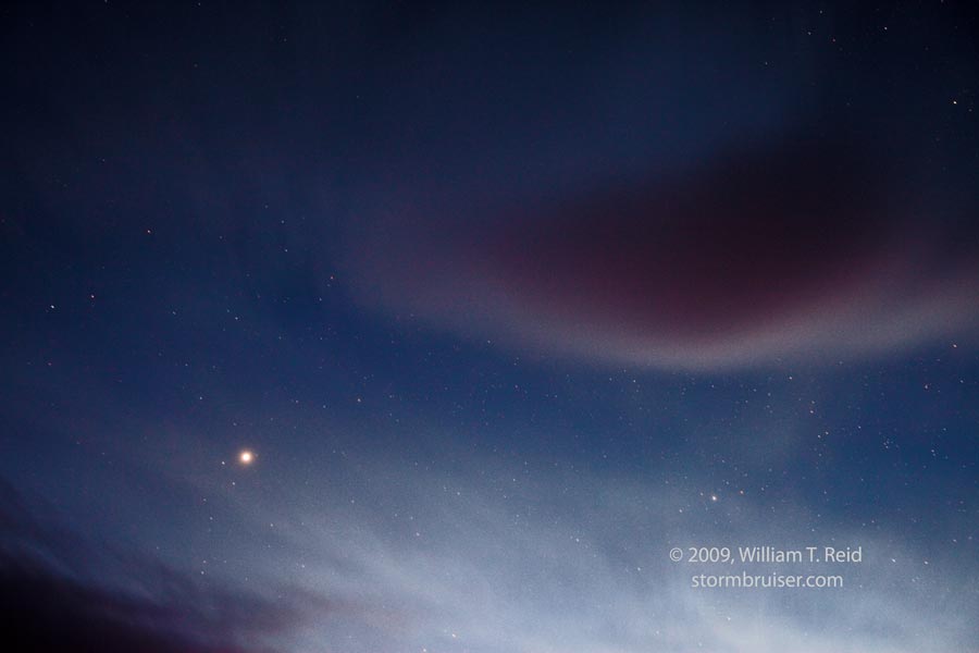
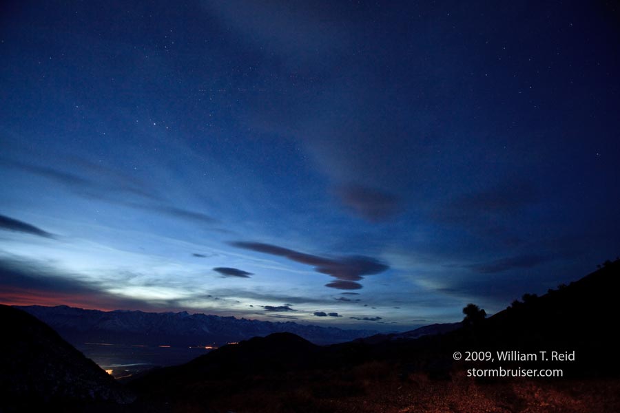
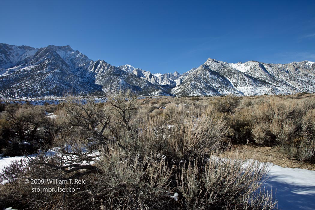
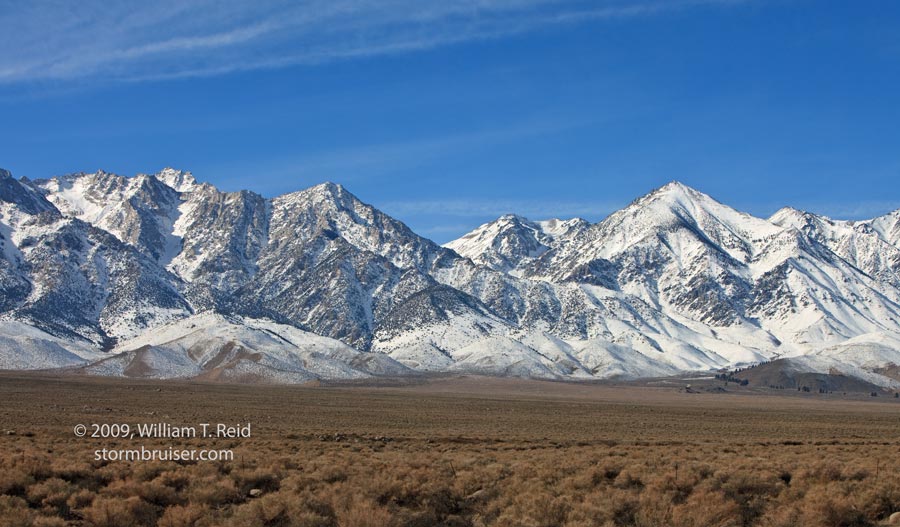
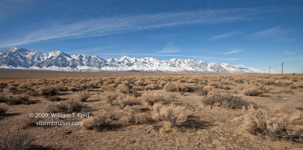
Of the eight images below, numbers one, three, and eight take a look at the Inyo Mountains. This range rises on the east side of Owens Valley. (Actually, Owens Valley is not a valley, but is a “basin”, as its waters drain ultimately into Owens Lake, a sink which is actually not a lake but a “playa” or a “dry lake,” because Owens River waters are diverted from their course towards Owens Lake and into the Los Angeles Aqueduct, except that recently more Owens River water is permitted to flow into Owens Lake in order to reduce the dust that blows off of the lake, leaving the youngsters of Los Angeles without drinking water. Got it?) Other images show some cool standing lenticular clouds in the wake of the Sierra Nevada. These clouds are fairly common in winter, as fast westerly winds aloft ride up and over the range (forming a “mountain wave”). Pics 6 and 7 are telephotos of an ACSL (altocumulus standing lenticular) well to the north. On the left side are the Sierra Nevada and the Alabama Hills, near Lone Pine.
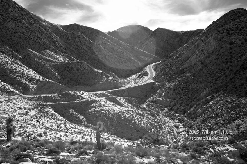
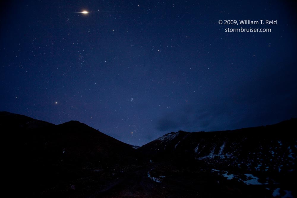
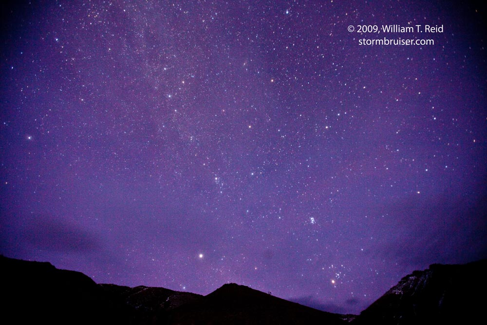
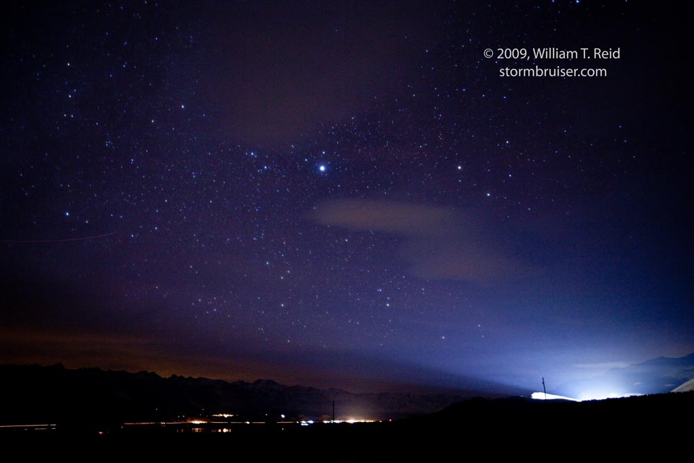
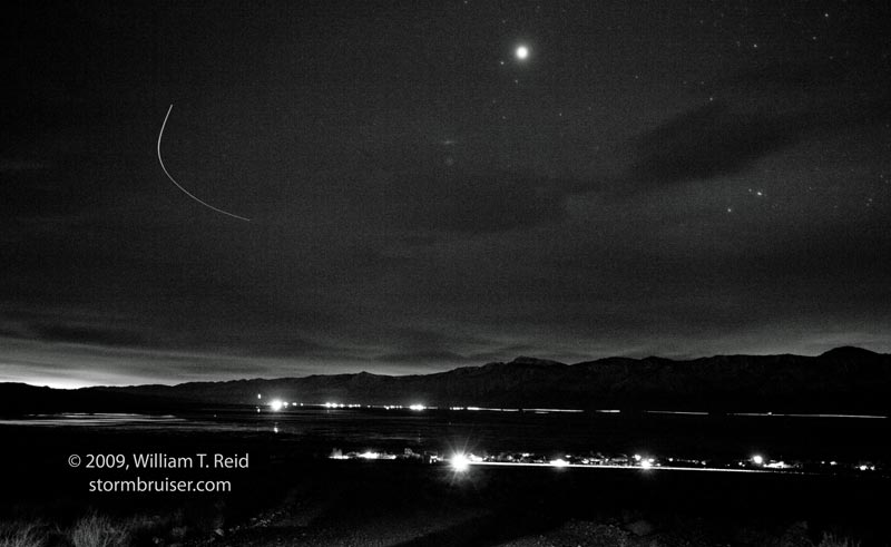
As skies darkened, I motored to the east side of Owens Lake and up Cerro Gordo Mine Road. This is a lonely dirt road which ascends from near Keeler, at about 3600 feet elevation, to Cerro Gordo, at about 8000 feet. I drove up about 2/3 of the way to Cerro Gordo, and stopped to shoot the stars and the view across Owens Valley to the Sierra. Pic 1 below shows Keeler, along Owens Lake, looking west-southwest. The seventh image shows an obnoxious bright area, courtesy of a flood light at a mining area in the Inyos east of Dolomite. A meteor was kind enough to burn up within my frame and during the exposure for pic five below…or was it something else? Richard Dickson informs me that the bright streak near the top of the image is an “Iridium Flare”. He checked my time and location and determined that I had stopped very close to the “center-line of brightness” of one of these brief reflections off of a satellite. Mine had a magnitude of negative 8! I was lucky to have the shutter open and the camera pointing in the right direction at the time!
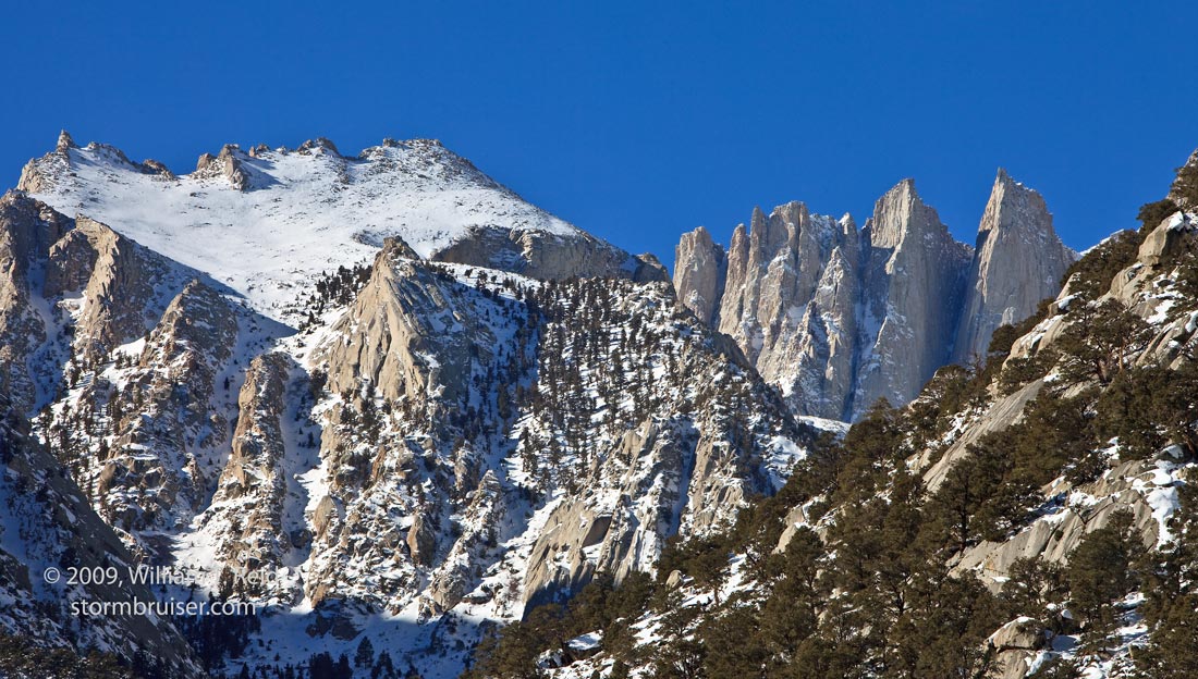
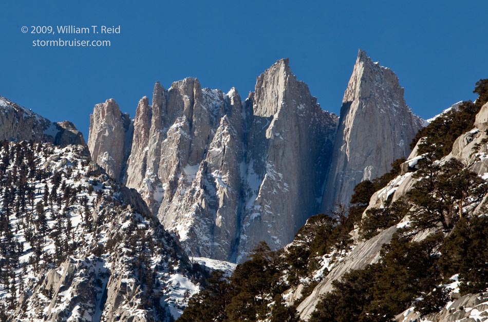
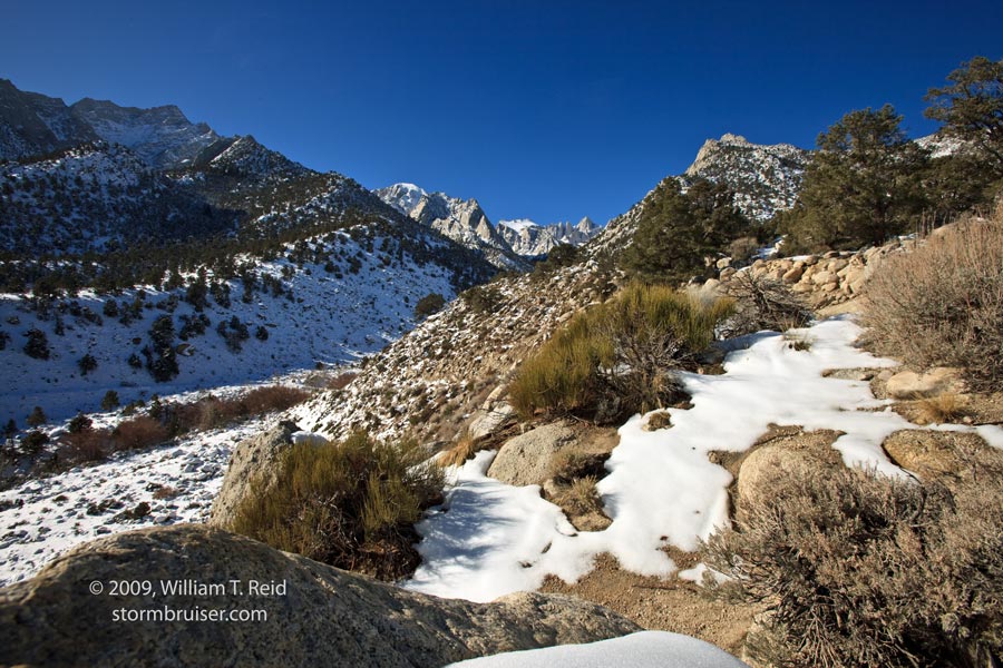
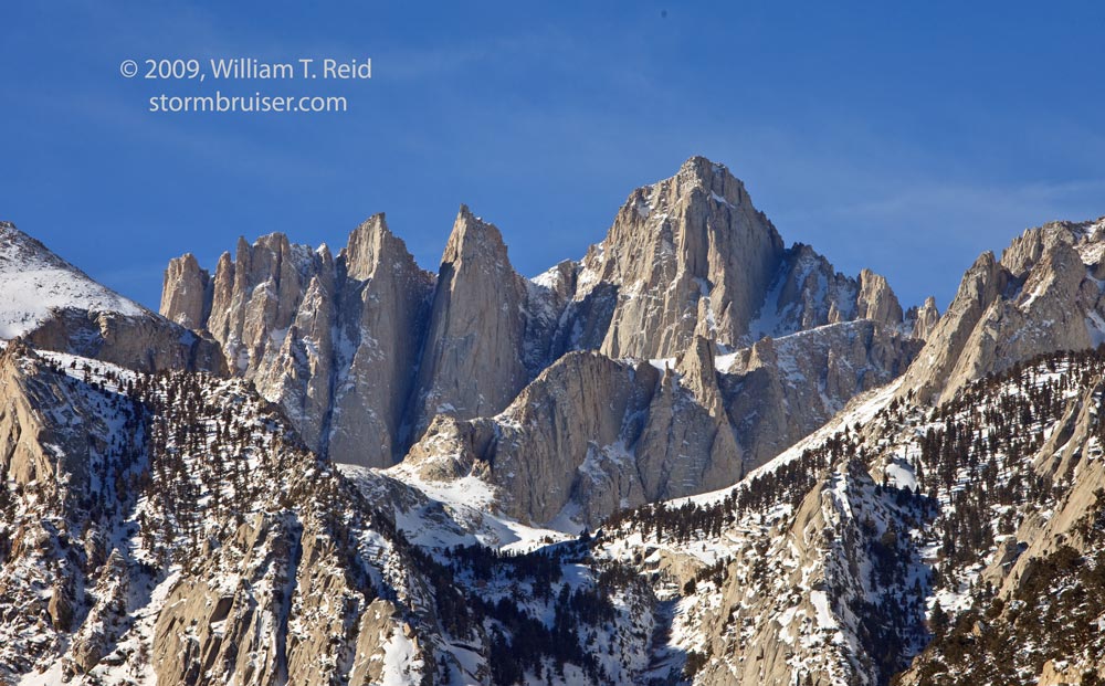
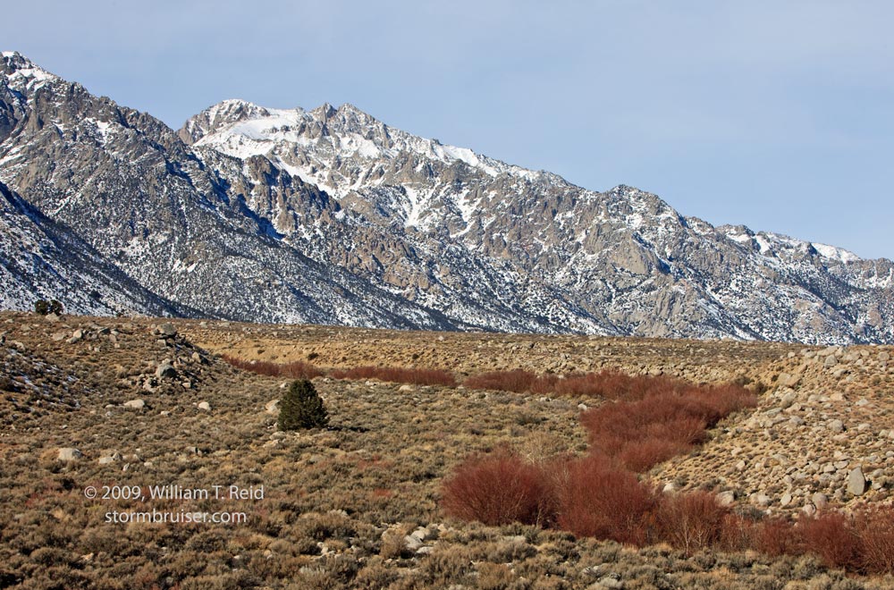
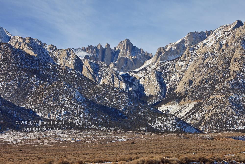
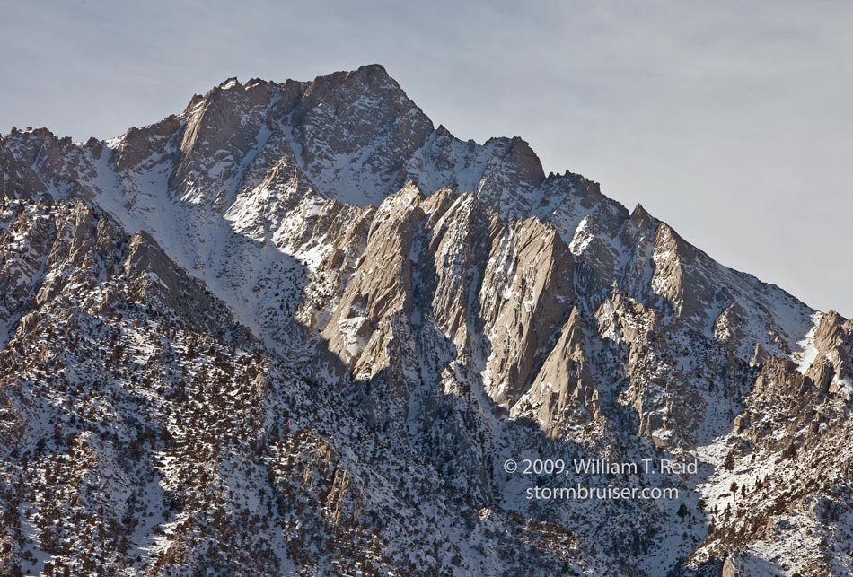
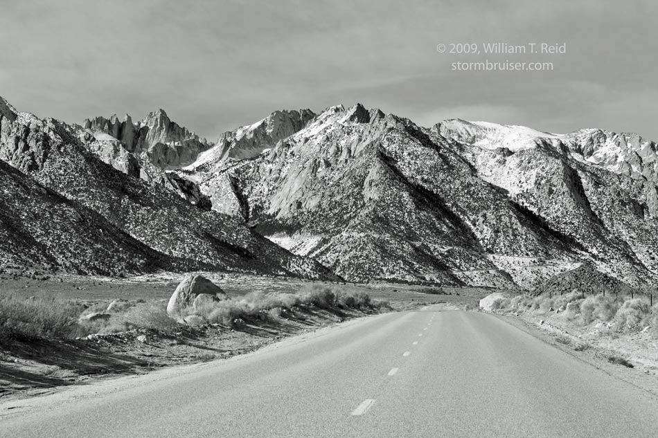
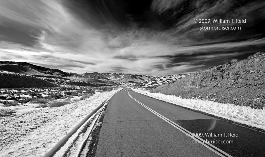
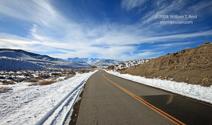
I have plenty of images of Mount Whitney in the Bill Reid photo archives, but all of them are slides. It was high time to get some digital pixels of California’s highest peak. I set the alarm in my Lone Pine motel room to some horrible early hour, like 6 a.m., so I could catch the early warm light as it bathed the rugged granite escarpment west of town. The alarm went off as scheduled, so I turned it off and got my money’s worth at the motel by sleeping in until 10 a.m. These images were shot around noon, along Whitney Portal Road. There is a series of closely-spaced and prominent “spires” in pics one and two below. The Day Needle and the Keeler Needle are on the right, and Mount Whitney (to the right of these features) is obscured by terrain in the foreground. Wotans Throne dominates the left side of the first image (0936). The wide-angle shots (3 and 4) show the needles and Mount Whitney in the distance, looking up Lone Pine Canyon. Mount Whitney is front and almost center in image 5 (0952). Pics 10, 11 and 12 were taken from near Independence (north of Lone Pine), and the final two are the same image, one in black and white, on the way east through the Inyo Mountains from Big Pine on Death Valley Road. This is looking west towards the Sierra, visible in the distance.
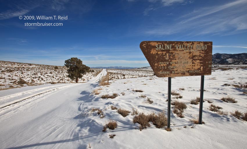
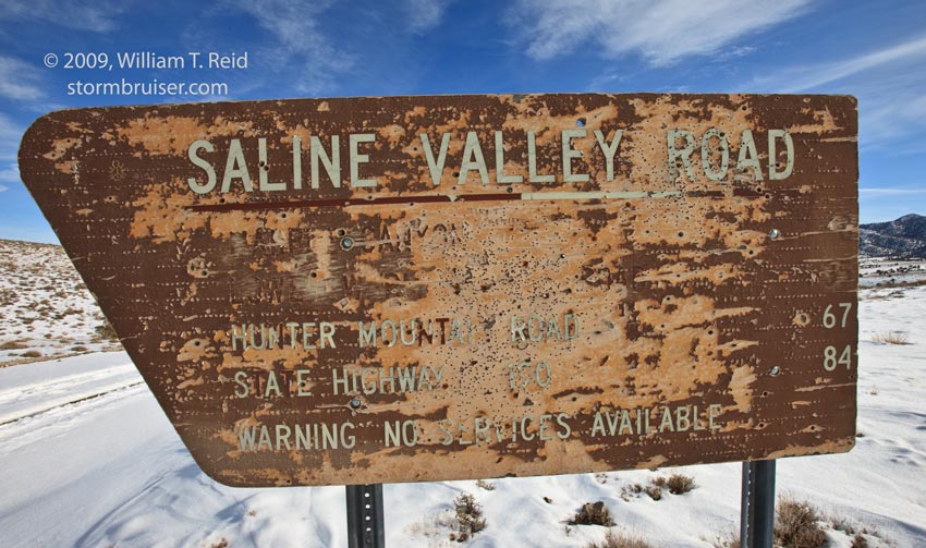
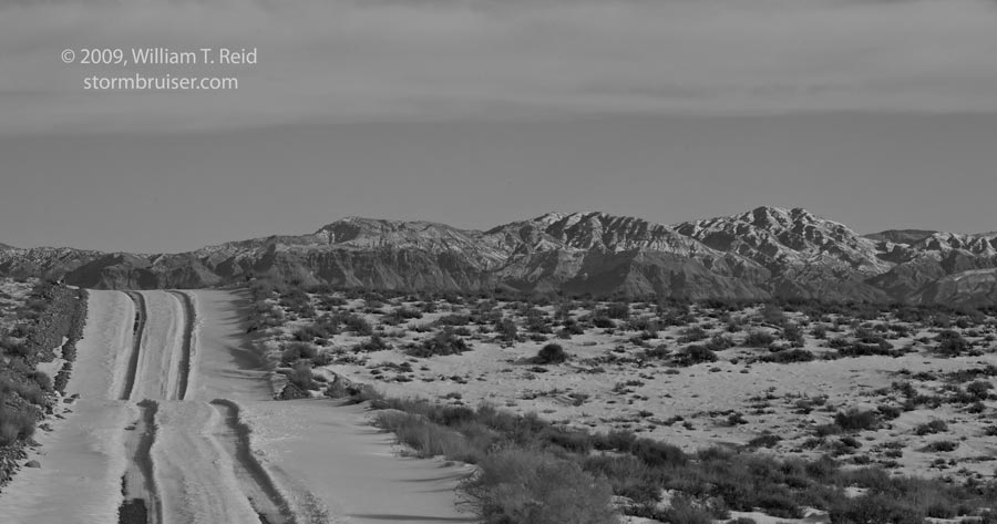
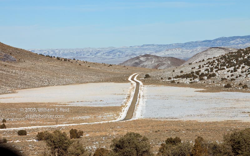
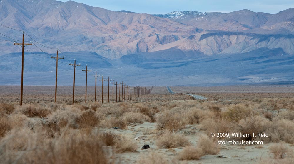
The final six images on this page were taken along Death Valley Road. The road is paved as it winds through the Inyo Mountains, but is unpaved as it reaches the flat sections of the Eureka Valley. Near “pass level” is Saline Valley Road, also known as Waucoba Road here, at an elevation of about 7300 feet. This lonely road heads south into beautiful and desolate Saline Valley, which bottoms out at just over 1000 feet elevation. The weather-battered sign reads:
Marble Canyon–8, Lower Warm Springs Road–35, Hunter Mountain Road–67, State Highway 190–84.
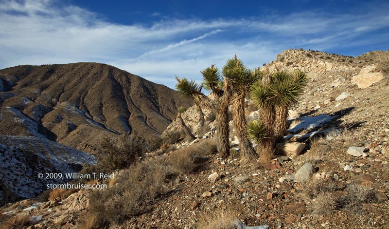
I have driven the full length of Saline Valley Road just once, and it takes you into one of the most remote areas of the country! If you break down here, it’s going to be a while before help arrives. If you are in a hurry, you can make the drive from this spot to Route 190 in about four hours. And, like the sign says, there are no places in the Saline Valley to buy a soda or restrooms to hide in when nature calls. There are no telephone poles or electricity service, either. Anyway, the Saline Valley images and account will come later. The other images show some lower elevation areas on the descent into Eureka Valley, including a pretty area with many Joshua Trees.