I enjoyed relatively good success chasing in 2009. I was the tour director for Tempest Tours for six tours, with a 5-day break in early June. So, I was looking (or hoping), for storms on 50-60 days from about April 25th to July 4th. The month of May was rather lame, but June was very active. My luck at finding tornadoes was okay. There weren’t really many big tornado days on the Plains from late April to early July, but there were enough isolated-type events to keep chasers busy.
Here is a more detailed breakdown of the spring chase season, in two parts.
From April 25 to May 29 (35 days), I was in chase mode on only 20 days, and two of these wound up busts (no storms observed). On 15 of the 35 days there was no chase, due to no chance of storms, repositioning, and/or changing tours. Of course, if there had been a really good chance of tornadic supercells on any of these 15 no-chase days, we would have done our darnedest to have been there. Of these 20 chase days, 11 were in Texas, 4 were in Oklahoma, 2 were Nebraska and 2 were in Missouri. The remaining one was in extreme southeast Montana. And, of these 20 chase days, I would rate 14 as “decent or better” (including supercells, strong convection, etc.), while 6 fell into the “marginal/lame/pathetic” category (busts, high-based junk, little or no lightning or severe wx, etc.). I saw one brief tornado from a distance during these 35 days — yes — May was lame. We were, however, on a few storms which contained rain-wrapped tornadoes and/or “tornadoed” at night. I only had to venture east of I-35 twice (on the two Missouri chases), which was nice. Except for a couple of mediocre days in western Nebraska and one Missouri day when we ended up on junk in KS, I did no chasing in KS, NE, SD, ND, IA, MN, NM, CO or WY during these five weeks in the heart of spring! That is amazing. The best chases were generally in TX and OK, between I-35 on the east and U.S. 83 on the west.
Part two occurred from June 5 to July 4, a 30-day period. I was in chase mode on 26 days, and only four were no-chase (repositioning or tour-changeover) days. Of these 26 chase days, 7 were in Nebraska, 6 were in South Dakota, 5 were in Kansas and 5 were in Colorado, two were in Wyoming and one was in Montana. So, geographically, there was (not surprisingly) a definite shift from the Southern Plains to the Central Plains from May to June. Of these 26 chase days, 16 receive a “decent or better” rating. The remaining 10 get the “bust-junky-weak” rating. ( I should add that many of the junky chase days on the central and northern Plains still offered some outstanding photography opportunities.) I witnessed tornadoes on six of these chase days, and on three other chase days we were on tornadic storms but unable to see (or confirm) a tornado. I did not chase at all this year in ND, MN, IA, and NM (though we were in ND on one evening after a Montana chase).
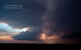
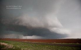
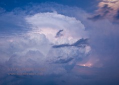
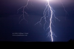
This page is designed to help you get a fairly quick look at what I caught (or didn’t catch) this season, and to showcase some of my photography from spring 2009. By clicking on the thumbnails, you will be privy to an enlarged version of the image. To check out all of the images posted for a particular day, please click on the highlighted date and title above the associated thumbnail image(s).
April 25/western OK/supercells This was the first day out after beginning the drive from L.A. the previous afternoon. It was nice seeing some severe storms again!
April 26/High Risk/western OK quasi-bust I favored the area south of I-40 in SW OK and wound up on a brief supercell near Elmer. We missed the tornado near Roll, OK. I did not chase on the 27th or 28th.
April 29/Motley County, TX/supercell
We were unable to make it to the Floyd County tornadoes following noon orientation in Arlington, and wound up on impressive supercells east of the Caprock.
April 30/Custer County, OK/supercell This fun chase culminated with a lightning-illuminated barrel-shaped updraft, just to our east.
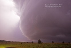
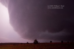
May 1/Jones County, TX/supercell We saw the tornado near Knox City, and later photographed lightning north of Abilene.
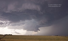
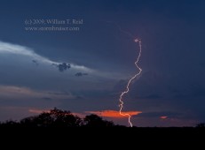
May 5/Stephens County, TX/supercell After three slow days, we were on the big hailer that tried hard to “tornado” south of Breckenridge.
May 7/De Kalb County, MO/supercell A highly-sheared and tilted updraft was quite photogenic at sunset.

May 8/Brown County, TX/supercell A tornadic supercell blew through Brownwood, and we had an excellent look at its structure.
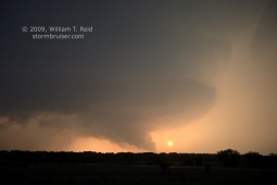
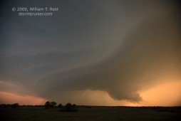
May 12/Hall County, TX/severe storms Fun, but somewhat disorganized and linear storms near Memphis and Childress.
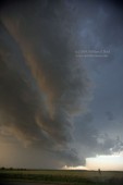
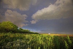
May 13/Blaine County/supercell This south-moving supercell produced a damaging tornado during the late evening in Anadarko, OK.
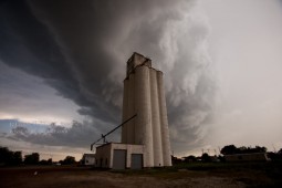
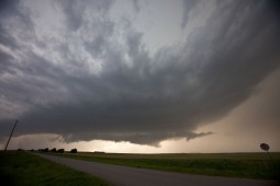
May 15/Carroll County, MO/severe storm Convection fired early in the day and declined to go tornadic in KS and MO.
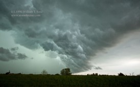
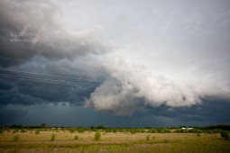
May 19/Carter County, MT/virga bomb In the midst of a poor pattern with less-than-adequate moisture, we observed high-based “convection” in southeast Montana. Yawn.
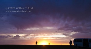
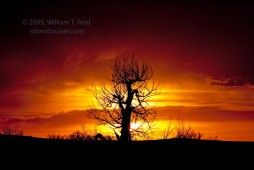
May 20/northwest Nebraska/severe storms A plethora of storms from Harrison to Hay Springs to Ashby kept us busy.
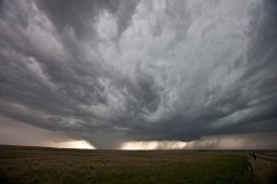
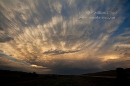
May 24/Nebraska Panhandle/outflowing high-based junk The extended period of lousy chase weather continues.
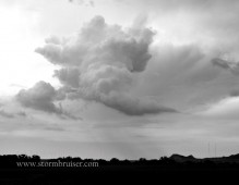
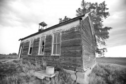
May 25/northern TX panhandle/severe storms Still short on moisture, but Panhandle Magic did what it could.
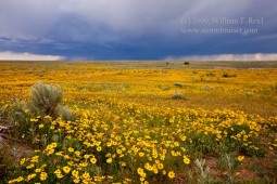
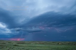
May 26/Parker County, TX/supercell This hailstorm was high-based, in late May near Fort Worth. Gulf moisture was still less than robust.
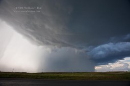
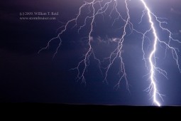
May 27/Val Verde County, TX/lightning We drove to the end of the Earth for some electric fireworks.
May 28/Sutton County, TX/storms We are still struggling through the dreadful May weather pattern, as shear and moisture are much less than ideal. These storms were entertaining, nonetheless.

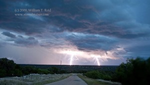
June 5/Banner County, NE/tornadic supercell We didn’t quite reach Wyoming, but we were able to view the LaGrange, WY, tornado from Nebraska!
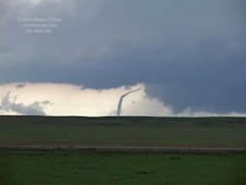
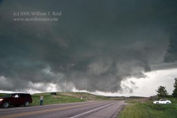
June 10/Stevens County, KS/supercell The atmosphere has its act together! Today’s supercell was a bit HP-ish, but I wasn’t complaining.
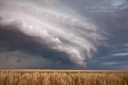
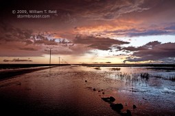
June 11/Arkansas River, CO/supercell Two fabulous supercells duked it out in southeast Colorado.
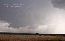
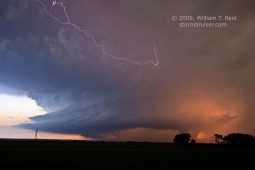
June 12/Cheyenne County, CO/high-based supercell A big Colorado hailer chased us through the empty plains of east-central Colorado.
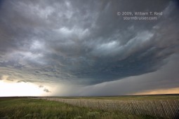
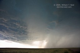
June 13/Morgan County, CO/tornadic supercell A storm near Fort Morgan spit out a couple of small tornadoes, for our viewing pleasure.
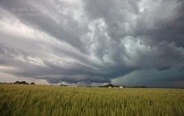
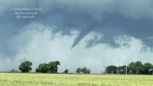
June 14/Lincoln County, CO/supercells Eastern Colorado is once again the place for fantastic supercells!
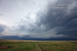
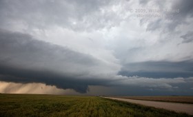
June 15/Adams County, NE/tornadic supercell After a long drive from Lamar, CO, we reached the Hastings area in time for a great show!
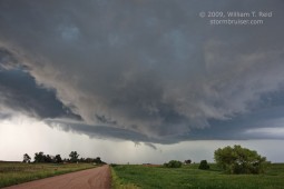
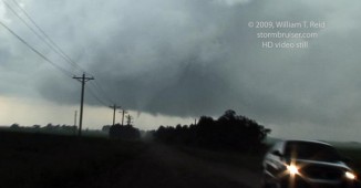
June 16/Hutchinson County, SD/tornadic supercell A beast of an HP supercell chased us in southeastern SD.
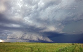
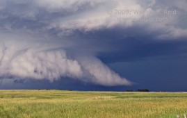
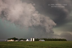
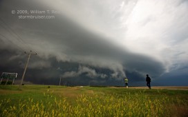
June 17/Aurora, NE/tornadic supercell A long-lived tornado was photographed between Grand Island and Aurora.
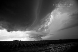
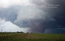
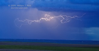
June 17/York County, NE/Lightning in CB After the tornado show near Aurora, the cumulonimbus tower looked nice in the fading light.
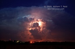
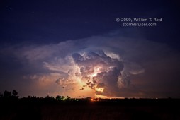
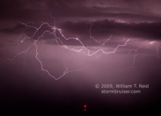
June 18/Cheyenne County, NE/nighttime lightning A high-based High Plains electrical storm salvaged an otherwise dud chase day.
June 21/Ziebach County, SD/supercell The beautiful prairies of South Dakota in June make storm photography a blast!
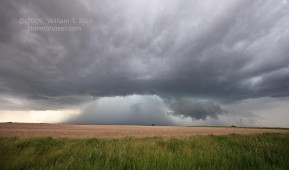
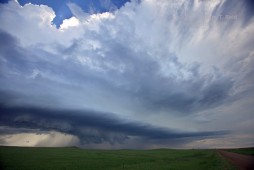
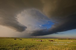
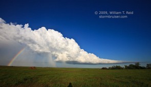
June 22/Corson County, SD/high-based supercells We found ourselves on the wrong side of the Missouri River with the highway heading the wrong way.
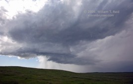
June 23/Logan County, NE/tornadic supercell Another fabulous supercell with a shy tornado, wrapped in rain, emerges from the Sand Hills
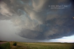
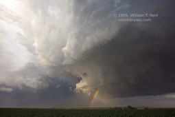
June 24/Davison County, SD/tornadic supercell A late forecast switch led to a late-in-the-day tornado!
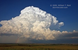
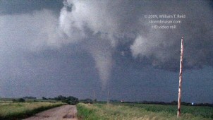
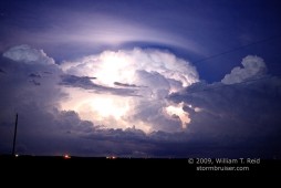
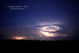
June 25/Jackson County, SD/high-based hailer Late afternoon storms fizzling on the Badlands are better than a sharp stick in the eye.
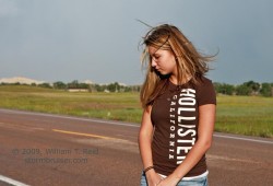
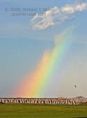
June 26/Deuel County, NE/supercell Supercell structure on the High Plains in June — what a show!
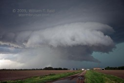
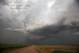
June 29/Box Butte County, NE/high-based supercell Another mix of pretty storms above great landscapes, without any tornado threat.
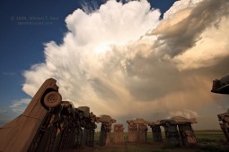
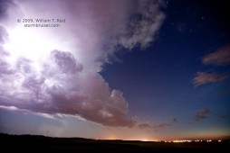
June 30/Wibaux County, MT/tornadic supercell My first Montana tornado put an exclamation point on a great month of June chases!
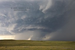
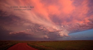
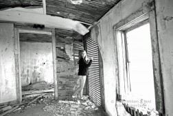
July 1/Carter County, MT/high-based junk Junky hailstorms and junk in an abandoned building in Capitol…why can’t it still be June?

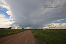
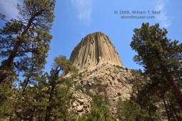
July 2/Niobrara County, WY/supercell Local Wyoming landscape and storm structure combined to make some happy photographers.
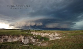
July 3/Ottawa County, KS/briefly tornadic supercell A long drive across Nebraska paid off with a good-looking supercell at dusk in Kansas.
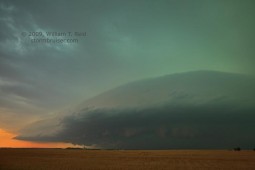
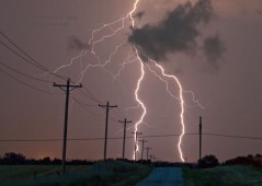
July 5/Sherman County, TX/severe storms I wasn’t really in chase mode, but I made sure that I didn’t miss anything important.

July 6/Bruiser in NM One last look at Plains convection before heading to perpetually stable coastal Southern California…

Leave a Reply
You must be logged in to post a comment.