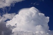
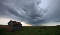
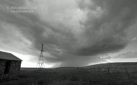
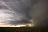
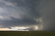
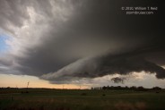
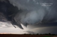
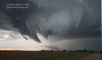
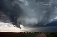
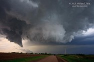
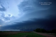
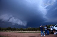
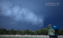
 Today was my first full chase day of spring 2010, with Rob Petitt, Bob Conzemius and the Tempest Tours guests. We met the guests on the 28th in Arlington, TX, and motored north to Wichita for the night. Today’s set up looked decent — great shear but so-so moisture, with dew points only in the upper 50s in the target area around Salina, KS. After lunch in Salina, we waited around Minneapolis, KS (north of Salina), and watched an agitated cumulus field slowly develop to our southwest. A couple of strong storms developed out of this mess and pulled us northeast towards Clay Center. The cells had a decent and organized look for maybe 20 minutes, but then sputtered and raced off to the northeast at 50 mph. Another storm developed back towards Concordia, and we waited for it north of Washington, KS. The cell was still some 25 miles to our southwest, but we elected to stay put, right in its path. It showed some nice structure as it neared. We were some 10 miles north of Washington, and then scooted south a few miles more to watch the large storm base pass by to the north. There was a nice sculpted look to the base and some scud beneath it, and it did not look like a good tornado candidate at this time. I decided to take an unpaved road east (from a point about 4N of Washington) that led ENE to Hanover. Some two miles farther east, the road jogs north, and the base of the storm now featured a lowered area with very strong rotation (yes—-in just a few minutes!). I managed to set up the camcorder and shoot some stills as this rotating wall cloud produced a little funnel and weak tornado that lasted about 30 seconds, perhaps slightly less than a mile to our NNW. (This tornado occurred at 7:10 p.m. CDT, and was about 6 miles NNE of Washington, KS.) The group was quite impressed with the very fast motion with the lowering, as was I! Later, east of Fairbury, NE, we watched the next sculpted supercell pass us from west to north, and it apparently produced a tornado which we did not observe. We are in Beatrice, NE, tonight, and looking at eastern Iowa for tomorrow’s chase.
William T. Reid

Leave a Reply
You must be logged in to post a comment.