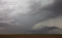
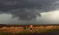
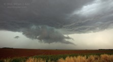
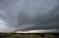
We targeted the southern Texas Panhandle this chase day, as a front or outflow boundary was sagging south of Lubbock. Upper and mid-level winds were just so-so—enough for severe but likely too marginal for a decent tornado threat. General thinking was that it would be important to be on storms quickly due to quick transition to HP mode—and this was correct. We got onto a cell or two near Tahoka, TX, and found them spewing cool and dusty outflow. Another cell or two drew us east of Tahoka, where frequent CG lightning kept us mildly intrigued. There was a weak tornado near Wilson, north of Tahoka, at some point, and we missed it. The numerous outflowing and undercut storms made for a relatively messy chase and less-than-stunning storm structure displays. Our group headed northeast of Post in Garza County behind a healthy cell which soon sputtered. A strong storm marched eastward along 380 from Post to Clairemont, and we dove south to get in front of it near Clairemont. It also failed to impress. Though our radar data indicated that the storm could have 3.5-inch size hail stones, only pea-sized hail was observed. There were still two hours remaining until sunset, but the chase day was over.
William T. Reid


Leave a Reply
You must be logged in to post a comment.