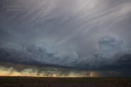
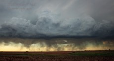
We began the final day of this 4-day tour in Dumas, TX, and headed north into western Kansas towards a dry line/cold front intersection. Initial convection drew us north from Hays to Plainville, but that struggled somewhat. New cells west and southwest of Hays beckoned, and we decided to target the “tail-end/anchor” storm near the 4-corners area of Gove/Trego/Lane/Ness. On the way south past Cedar Bluff Reservoir on 147, we observed heavy “virga” beneath the anvil to our southwest. The strong evaporation and cooling with this precip caused strong downbursts and straight-line winds. I measured a gust to 66 mph (from the west) with a hand-held Kestral on the reservoir’s dam.
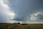
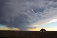
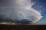
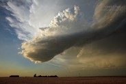
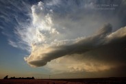
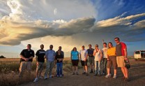
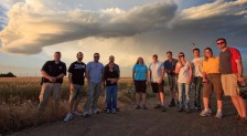
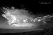
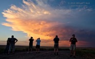
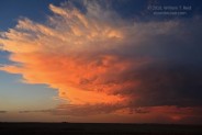
We approached the nearly stationary cell from the east along Hwy 4, passing Utica and stopping near Pen Dennis, KS, in Lane County. The updraft, though photogenic, appeared to be in decline. A forecaster from NWS Goodland called to see if I had witnessed any flooding, as radar indicated near ten inches of rain in extreme southeastern Gove County, just a few miles away. We were on the dry side of the cell and had not seen any effects of heavy rain. Well, not entirely. We went north on an unpaved road to look for hail stones, and wound up sliding off into the ditch when dry road turned quickly to mud. The guests were very helpful in pushing the van out of the slop! It turns out that this dirt road separated Lane County from Ness County. The Lane County sheriff stopped by to chat, and was happy to be included in the group photo. The day concluded in Dodge City, just in time for me to watch the final two minutes of Game 7 of the NBA Finals. The Lakers finished off the Celtics, much to my delight!



Leave a Reply
You must be logged in to post a comment.