The day of the summer solstice, 2010, was long, long, long, and we needed every minute of it! The day prior featured a great look of the Chugwater, WY, tornado, and the subsequent hail beating. We were in Kimball, NE, and I had to drive a minivan into Cheyenne for a new windshield. That went fairly smoothly, and I was back in Kimball to a smiling group of tour guests around noon. Fortunately, today would offer another good “upslope” play on the High Plains of Colorado or Wyoming, so we were in fairly good shape position-wise. Two areas appeared to be favored: a north play towards the MT/WY/SD triple-point (a tornadic supercell formed near Broadus, MT), and northeast Colorado. It was easy to choose the Colorado option, since we were in Kimball at midday.
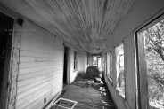
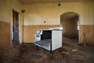
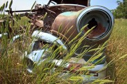
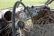
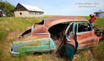
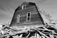
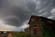
After lunch, we drifted south on 71 and stopped near the Nebraska border to photograph an old farmstead.
Storms began to strengthen on schedule shortly thereafter in northeast Colorado, so we continued south towards Brush. One big cell became established along the front range near Boulder and moved east. Another one began to rotate just south of U.S. 34 between Brush and Akron, and we were on that one like white on rice. The updraft was pretty, but it was somewhat small and high-based, with zero notions of tornado-making.
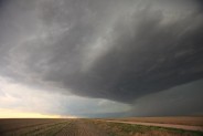
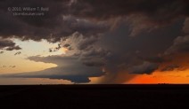
The little updraft pushed us east along U.S. 34, and a second cell went up a little south of the road. This was east of Akron, and its base is in the foreground of image 0128 above. In this view towards the west to west-southwest (at 5:30 p.m. MDT), there appears to be a low-level connection to a storm in the distance. Well, that distant storm is the one that began near Boulder, and it is big and it is getting bigger and it is charging eastward at a fairly good clip. Our little nearby cells would soon be appetizers for Mr. HP Beast.
We stopped a time or two west of Yuma to monitor the nearby updraft base, but it eventually became obvious that the main show was the big storm now to our southwest. It was moving just south of due east through Washington County between U.S. 34 and U.S. 36. The HP storm was gaining strength quickly, rotating hard, but affecting mostly empty rangeland and an occasional farm. At Yuma I had the option to dash south on 59 to get in front of the supercell. But, it was moving quite fast (40 mph?) and there were no paved roads east to stay with the storm until Joes, 33 miles away. That option was a little too risky in terms of beating the storm core. I elected to continue east to 385, where we could go south and have more time to watch the beast approach. There was a hitch to this course of action, however. U.S. 385 was torn up due to road construction/destruction between Wray and Idalia—closer to Idalia. I knew all about this, and the pilot car delays, etc. Well, I figured that we could get ourselves down to the construction zone and go from there—if we had to bail back north to get out of the way, we could do that. If the wait was not too long, we should be able to safely get south to U.S. 36. Should be able…
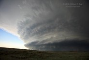
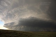
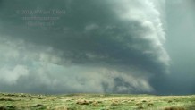
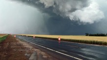
The view to the southwest as we blasted south from Wray was quite nice! The supercell was decidedly HP (high-precipitation), with evil-looking storm-base tentacles beneath beautiful mid-level striations. The first image below (0131) is at 6:51 p.m., and the final one (0138) is at 7:02 p.m. MDT.
We were still sailing along about halfway from Wray to U.S. 36. The final image above shows a change in the foreground to the rougher water-gouged landscape associated with the Arikaree River, which begins a little ways south beyond the road to Vernon (which is four miles west of 385). After another mile or two, still north of the Arickaree, we came to the construction zone and the flagman with the “STOP” sign. This was the wide-angle view to the west:
The pleasant flagman said that the pilot car would be back in about eight minutes. GAD. That would be cutting things quite close. The supercell was bearing down on us already, and Threatnet was showing a “161” value shear marker, which I believe is as high as it goes. Values this high are nearly always associated with tornadoes, often very strong tornadoes. We could not see a tornado with the storm, due to its HP character. One might be buried in the precip, though. One other issue was that we were in a little hole, with a hill blocking the lower portions of the storm. I let the flagman know that he (and we) were in a very dangerous spot with respect to the approaching storm. He wasn’t too happy to hear about the impending large hail and strong winds. We told him that he and the construction crew needed to find shelter — strong shelter — and that a tornado was possible. I asked him if he could contact the approaching driver to help hurry him along! I don’t know if the message helped or not. I elected to wait for the pilot car. After a few minutes, the “bail to the north” option had evaporated, as conditions to the north would soon be unfit for man or beast. The loop of the storm seemed to be showing a bit more of a “rightward” jog, right towards us! Not good! Hurry up, pilot car!
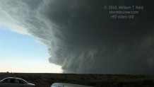
In the meantime, we had to wait and take pictures, as Mr. HP Beast approached.
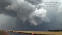
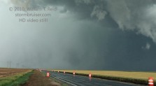
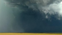
This final image (0151) was taken at 7:09 p.m. MDT. These are true 16mm wide-angle images, so objects are closer than they appear! The pilot car was pulling up, thank God! And, only one vehicle was behind it. I wonder what that vehicle looks like now. A tornado was reported three miles south of Vernon at 7:15 p.m., destroying a barn. We were unaware of the report at the time, nor could we see a tornado, but it sure looked wicked in that direction! Our position was likely nearly due east from the wrecked barn, just four miles from the tornado. We began our slow-motion evasive maneuvers southbound through the construction zone at 7:10 p.m. The first image below (from video) shows the cell to our southwest, U.S. 385 and its orange cones to the south, and the pilot car. “You gotta move fast!” I yelled as the driver made his 3-point turn. The second image is one last look to the west. Good luck, mister flagman!
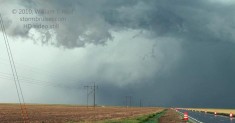
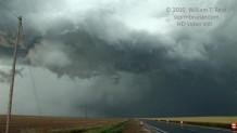
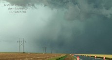
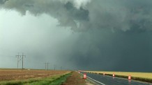
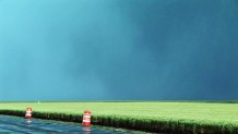
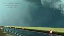
We were going maybe 35 mph, and a heavy band of precipitation was swinging towards us to our southwest at a high rate of speed. COME ON, GUY! We passed by several workers, in the open, scurrying in varying degrees of urgency to protect themselves. Perhaps one minute after leaving the north end of the construction zone, we were hit by the wind and the precipitation. Initially it was the “atomized” rain — tiny drops sometimes observed around tornadoes. The radar showed a bleak picture, with a 161-shear marker practically upon us. There had been little wind of consequence while waiting for the pilot car, but now we were getting hit hard by west to southwest winds, gusting perhaps to 65 mph. My driver, Chad, was concerned about the van being blown over. It did not help that the newly paved section of road that we were on was narrow and elevated above the adjacent ground by almost twelve inches. It would not be pretty if we were blown off the road. Road construction signs and orange barrels went airborne and barely missed the vans and the pilot car. Chad was thinking about stopping—no way! Keep going, please! As we pressed closely behind the pilot car, its driver seemed to comprehend the seriousness of the situation, and he picked it up a notch. Given the strong westerly wind, we were squarely in the path of the RFD blast, and, if there were a tornado, it would be behind us. Whew! After about five or six miles we were out of the construction zone and safely south of the supercell. We stopped at 7:21 p.m., just a couple of miles north of U.S. 36, and looked back to the north to see a wrapped-up region which may have been carrying a tornado…or maybe was not. Here are a bunch of video stills, some with the contrast greatly enhanced. The evidence from our point of view—-inconclusive?—-huge tornado??
The sequence above was from 7:21 to 7:25 p.m. MDT. The plan now was to blast east on U.S. 36 into Kansas, and perhaps put ourselves in position to see the storm structure again, and of course maybe a tornado. The action area remained wrapped in precipitation to our northeast, and new development along the flanking line loomed just down the road to our east. We were hesitant to surge back into heavy rain and hail, given recent experiences!
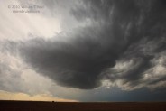
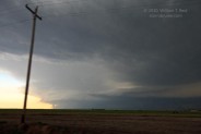
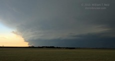
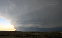
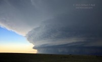
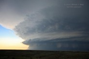
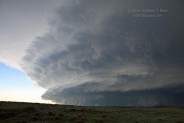
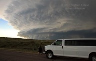
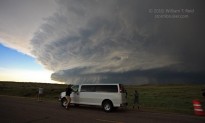
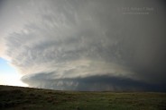
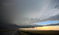
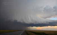
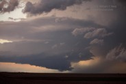
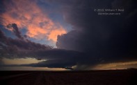
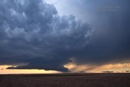
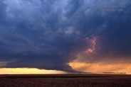
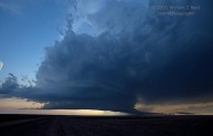
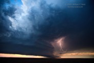
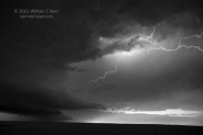
A tornado warning was issued for St. Francis, KS, and as we drove into town from the west, I half expected to see a beat up town. St. Francis escaped a drubbing. Sunset was near, and it was too risky and too late to try to get in front of the supercell via U.S. 36. Another storm was back to our west-southwest and moving east, so we went about 12 miles south on 27 from Wheeler, and then a couple of miles west on a dirt road. We found a relative high point and had a tremendous view of a gorgeous, classic, sculpted supercell against the soft light in the western sky.
I reserved rooms in Imperial, and we dodged a core or two on the way north. Dinner was convenience store food in Benkelman, and the Imperial Inn was a welcome sight near midnight. It seemed like a lifetime ago that I had been sitting around the auto glass shop in Cheyenne, but it had only been half a day. It was a long, long day!


Leave a Reply
You must be logged in to post a comment.