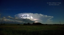
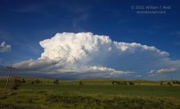
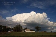
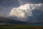
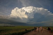
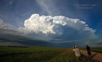
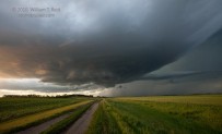
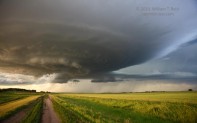
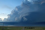
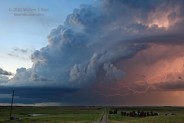
 Our group wound up on a pretty, isolated supercell in south-central North Dakota on June 24th. The 23rd was a down day, and we repositioned from West Point, NE, to Murdo, SD. The setup for severe weather was not especially clear cut, but a weak low pressure area associated with large values of CAPE was forecast from north-central SD northward into central ND. We spent about an hour in the late morning checking out part of the South Dakota Badlands near Cactus Flat, and stopped in Philip for lunch. From there we blasted north through Faith and Lemmon on 73, and by then an agitated area of cumulus was evident to the east and northeast. Unfortunately, this area was along the Missouri River, and there are zero bridges across the river between Bismarck and Mobridge (a stretch of about 75 miles). A strong updraft became dominant near Bismarck, and we were along U.S. 12 east of Lemmon. If the cell were to move southeast, then we might want to head to the crossing at Mobridge before heading north. If the cell moved east or remained close to Bismarck, then we would want to continue north on the west side of the Missouri River. I decided to head to the crossing at Bismarck, and luckily the storm started spinning and drifting very slowly to the east or east-southeast. Here are the views of the back side of the updraft as we approached Mandan on Route 6.
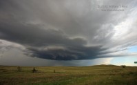
The storm had a tornado warning with it near Bismarck, but apparently it failed to produce. The images show that the updraft was healthy, but relatively scrawny. As we entered Mandan, the updraft was to our east-southeast by some 15 miles. Route 1814 came in very handy to get south of Bismarck and eventually just south of the storm. The supercell base presented a funnel cloud and wall cloud for a while. Low-level rotation was definite and organized, but the storm remained non-tornadic.
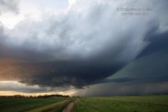
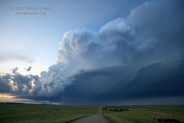
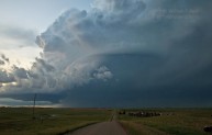
We were just south of the base on a couple of occasions, and it exhibited a nice “cinnamon swirl” look just prior to sunset. The supercell continued to move only very slowly to the east, near the tiny town of Kintyre. We backed off a little after sunset to photograph the storm structure on the south side of the cell.
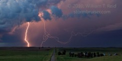
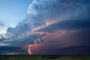
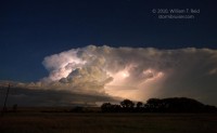
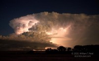
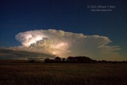
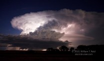
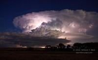
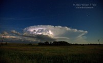
Our position was somewhere west of Napoleon. There was still a little light remaining, but it was quite late and we had a one-hour drive back south to Mobridge. It was time to abandon the cell and get some rest. The images above show that the updraft was struggling against the shear quite a bit, and lightning was infrequent. We did a convenience store stop at nearby Linton, and started south again, but, dag-nabbit, the supercell was perking up again! Chad and the guests implored me to stop, so we pulled onto a side road to check out the supercell once more. And, wow! The updraft had surged mightily, lightning was continuous in the upper parts of the storm, and a new tornado warning was issued! We were perhaps 15 to 20 miles away, but visibility was excellent and the lightning made it easy to see the storm structure.




Leave a Reply
You must be logged in to post a comment.