My 2010 chase season was pretty good, probably the best since 2004. Both May and June were consistently active. Death ridges stayed away, busts were few, and tornadic supercells were not a rare commodity. Having said that, I missed a handful of big events that leave a slight sour taste. But, the misses were due largely to tour scheduling logistics — oh, well! The two major events of the season for me were near Howes and Faith, SD, on May 24 and near Campo, CO, on May 31.
I was on the Great Plains for 61 days in 2010, from April 29 to July 4. For most of that period I was directing the Tempest Tours chase group. From June 2 to June 6 I enjoyed a break back home in California. I counted 27 chase days with good supercells and/or significant convection. I observed at least one tornado on 11 of these 27 chase days. There were 17 days in which we were in chase mode, for the most part, and the end result was a bust, or generally a junky, unfulfilling convective experience. On 17 days we were not in chase mode. Most of these were “in-between” tour days: days on which we had to be driving back to the base city, greeting new guests and/or repositioning at the beginning of a tour. A handful of days were non-chase days or reposition days during a tour, when storms were not expected.
Here are the stats by state or province (on a handful of chases I was in more than one state and I had to choose the state with the more significant activity):
TX—I had 8 chase days in TX, but these were primarily junky chases in the Panhandle and way down towards Big Bend around Marathon. Best were May 14th near Penwell, Iraan and Ozona; and May 18th near Dumas and Stinnett. Bob and Marcia had a couple of good tornado days in the Panhandle during Tempest’s Tour One in April. Chalk up just one brief TX tornado for me in 2010, near Dumas.
OK—5 chases, with several good supercell days in May (10th, 11th, 12th, 19th). I was unlucky with OK tornadoes, though (except for the final stages of the Campo event, which spilled into the OK Panhandle). I managed to see one tornado near Dover on the 19th, which quickly wrapped in rain.
KS—6 chases—three junky, and three with decent supercells and tornadoes, though these KS tornadoes were either weak, brief, distant and/or relatively ho-hum. KS was not a good tornado state in 2010, though one of the better events of the year was in northwest KS (near Jennings, on June 11). Few if any chasers were on that storm.
NE—3 chases, all fairly junky! Nebraska was really dead in 2010. So, I fared rather poorly in 2010 in terms of decent tornado intercepts in the heart of Tornado Alley, from TX to NE.
Dakotas—amazingly, just one chase in SD and one chase in ND for me. Both were excellent days, though, with a big tornado day in northwest SD on May 24.
NM—2 chases, both with decent supercells but no tornados.
CO—7 chases, including big tornado days near Campo and Last Chance, and the HP beast in Yuma County on June 21.
WY—3 chases: a bust, a junky chase, and a tornado and big BIG hail event near Chugwater on June 20!
MT—no chases, but we did pass through on our way to…
SK—4 chase days, and two fun supercell days and a distant tornado!
Jungles—one chase in AR, with supercells in the northeast part where the chase terrain is decent. Luckily, no chases in LA or MO, and no chases in the trees of TX and OK (except late in the day May 10 east of OKC).
Corn Belt—two big busts in IA (where else?!), a bust in southern IL, and one big HP supercell in southern MN.
My best chases in 2010 were definitely those on the higher terrain: in CO, WY, western SD, and even SK. The region south of I-40 was slow, and so was the region east of I-35. Nebraska was amazingly slow in terms of decent and chase-worthy storms. South Dakota had three huge days while I was on the Plains, but I could only get to one of those events. Minnesota had a tornado outbreak on June 17th that I could not chase.
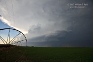
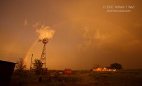
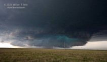
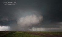
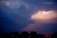
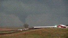
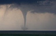
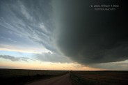
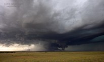
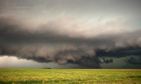
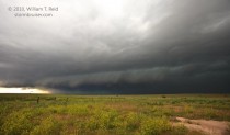
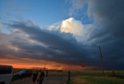
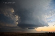
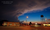
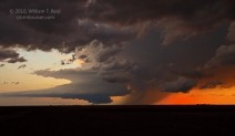
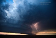
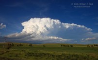
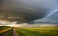
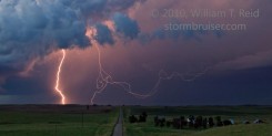
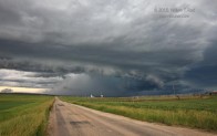
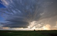
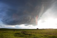
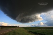
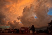
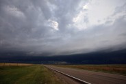
This long post is kind of a “best of 2010” image gallery. Scroll down to see the best images from each chase, and click on the dates to go to the chase account page to read about the event and to see more pictures.
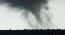
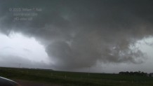
April 29/Washington County, KS/tornado It’s nice to get a tornado at close range on the first full chase day, no matter how small and brief!
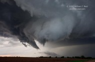
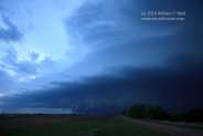
April 30/western IL/junky storms The less you know about this chase, the better.
May 1/northeastern AR/supercells This high risk day was characterized by a high infrequency of tornadoes, but we saw what may have been a weak tornado.
May 2/southeastern KS/weak storms If you like a long drive topped off by weak, low-topped convection, then you should have been with me this day.
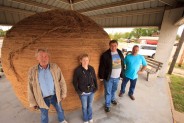
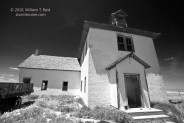
May 3/Picher and Neutral/killing time The atmosphere was taking a break, so we went into explore and photo-shoot mode.
May 3 to 8/summary of chases A lot of driving during the last half of this tour resulted in a couple of ho-hum chases.
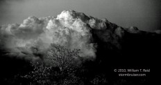
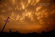
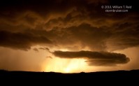
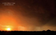
May 10/Red Rock, OK/supercell We were on a very strong tornadic supercell…just prior to its tornadic phase. Nice mammatus at sunset!
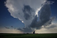
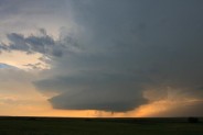
May 11/Woodward County, OK/supercell We placed ourselves just east of a pretty LP-ish supercell in northwest OK right after sunset.
May 12/Carter, OK/supercell One of the vans blew an alternator, and we found a rental minivan in time to get the group on a decent supercell in western OK.
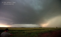
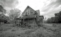
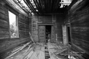
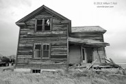
May 13/Garden City, TX/haunted house This was a reposition day to southwest Texas.
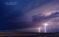
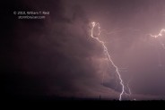
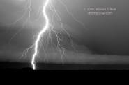
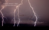
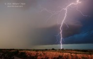
May 14/Penrose to Ozona, TX/supercells and lightning Storms started going up at lunchtime, and the long chase day culminated with a great lightning show near Iraan and Ozona.
May 15 and 16/Marathon, TX/almost strong storms The scenery was better than normal, but the storms were less than thrilling.
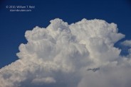
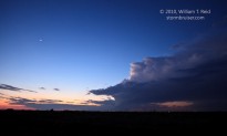
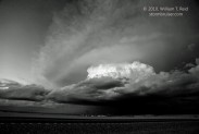
May 17/Artesia, NM/severe storms A couple of supercells looked good briefly, but then sputtered.
May 18/Moore County, TX/tornadic supercell We witnessed a brief tornado near Dumas, and somehow missed the one near Stinnett.
May 19/Dover, OK/tornadic supercell This high risk day was swarming with chasers northwest of Oklahoma City. We saw a tornado near Dover.
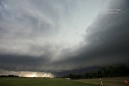
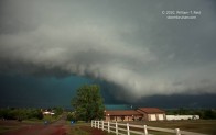
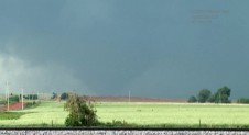
May 20/south of DFW/marginal severe Linear convection failed to please, but a pretty storm at sunset saved the day.
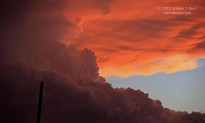

May 22/South Dakota dreaming Our group could do nothing but wish that we were chasing the Bowdle, SD supercell
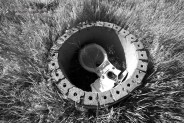
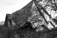
May 23/Goodland/tornadoes A supercell moved north through the Goodland, KS, area after sunset, and a couple of tornadoes materialized.
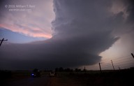
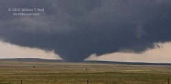
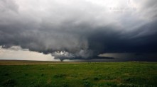
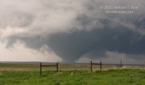
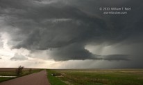
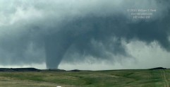
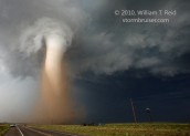
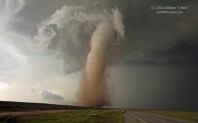
May 24/Howes to Faith, SD/tornadic supercell A strong, long-lived, very photogenic tornado rambled through the empty vastness of western South Dakota…YES!
May 25/western KS/tornadic supercells A tornado near Tribune made an appearance to our distant west, and a bigger and better cell got away to our east.
May 26/DIA to Prospect Valley/slow-moving supercell A rotating updraft slowly drifted from the Denver area towards Fort Morgan.
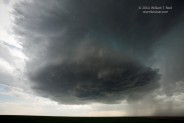

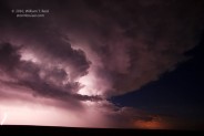
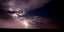
May 30/northern OK/messy storms A storm or two looked good briefly, but convection was everywhere.
May 31/Campo, CO/tornado An amazing tornado was observed at close range just north of the CO/OK border (two parts—see Part Two for the Campo tornado).
June 1/Palo Duro/lightning On the final chase day prior to my break, a pretty high-based cell or two provided some lightning photography opportunities.
June 7/eastern CO/junky storm A long drive at the start of the new tour resulted in a pretty sunset scene.
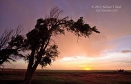
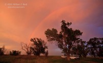
June 8/Wet Valley/scenics We found ourselves between some strong, but distant, storms, and resorted to local photography ops.
June 9/western Nebraska Panhandle/mediocre storms Storms struggled north and south of I-80
June 10/Last Chance, CO/tornado A beautiful supercell spawned a tornado or two west of Last Chance.
June 11/Limon, CO/supercell A cold and nasty HP supercell kept our attention for several hours, and we were bummed to learn of the nice tornadoes late in the day in NW KS.
June 13/NE TX PH/outflow junk We were unable to get to the goods near Slapout in time, and wound up with a line and a pretty tail-end Charlie at sunset.
June 14/Tahoka, TX/messy convection The southern Texas Panhandle lit up, but the end result was plenty of mediocrity.
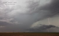
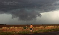
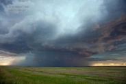
June 15/Tatum, NM/LP supercell In what will come to be known as “the day our tour group chased a storm in New Mexico”, we chased a storm in New Mexico.
June 16/Amistad and Dalhart/rainy mess I thought we might have a shot at a nice supercell today, but it was not to be. Shoulda woulda coulda been in DuPree.
June 17/western KS/supercell A pretty and isolated storm near Pen Dennis was small consolation, given the outbreak in MN.
June 19/Brush, CO/severe A drive-by chase in eastern CO, on our way to Denver.
June 20/Chugwater/tornado The atmosphere giveth, and the atmosphere taketh away.
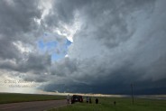
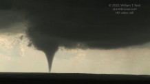
June 21/Yuma County/HP supercell A large and nasty beast of a storm marched through Yuma County and into Kansas.
June 22/western Iowa/bust The troposphere and the lenses remained strongly capped, to our dismay
June 24/Bismarck/supercell A very pretty supercell teased us, weakened, and got serious again late.
June 25/Sleepy Eye/supercell We nearly had a tornado near Sleepy Eye. The storm went HP and subsequent tornadoes went unobserved.
June 26/Wheeler, NE/marginal severe Isolated activity south of O’Neill struggled.
June 29 and 30/Saskatchewan/Canada real estate A couple of chase days in southern SK were marginal in terms of storm quality.
July 1/Pambrun/supercell Saskatchewan magic fell a little short, but Canada Day was not entirely uninteresting in the least.
July 2/Raymore SK/tornado We were a tad late getting to the significant tornado near Raymore, and were later treated to additional supercells near severe-storm hotspot Foam Lake.
July 4/Nebraska Panhandle/marginal severe My last chase day for 2010 was more of a yawner than a thriller.









Leave a Reply
You must be logged in to post a comment.