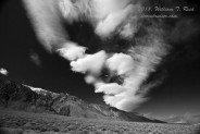
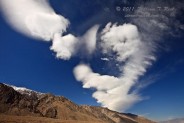
March 7th was a Monday, and I had a rare full day off from work. A strong but rather dry storm system was crashing through Southern California, and a very strong onshore pressure gradient was developing. Pressures were about ten millibars higher at Bakersfield than at Daggett, and this was causing strong winds in the Antelope Valley and western Mojave Desert. In addition, strong WNW winds at about 700 mb over the Tehachapi Mountains were producing some mountain wave clouds, aka “standing lenticular altocumulus.” I elected to drive north towards Mojave to experience the winds and to photograph any interesting phenomena.
As it always seems to happen when I go on a wind chase, winds were on the decrease a little as I headed north mid-morning on Route 14 through Palmdale and Lancaster. The west winds were gusting to about 40 mph, and were a little stronger between Lancaster and Rosamond. Mojave is typically the windiest area, but the wind was only 20-30 mph, not impressive at all. They had been much stronger an hour or so earlier, and Hwy 14 north out of Mojave was closed because three big rigs had overturned just north of town. Edwards AFB, to the east, was getting gusts to 60 mph, and some blowing dust was visible in that direction. I decided to continue north via a detour through California City to Owens Lake. The forecast was saying that gusts to 75 mph could be expected along the eastern Sierra, and I thought that wave clouds might be a better bet in the lee of the southern Sierra. I found some pretty scenes in and around Owens Lake during the afternoon, including some interesting wave clouds. The wind was not strong at all, but it did lift some dust off of Owens Lake from time to time. A look down south towards Mojave and the Antelope Valley revealed some major wave cloud development, and the radio reported gusts back up to 65 and 75 mph. Well, great! I had overshot the big windstorm event!
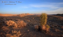
I elected to forget about that and to poke around Darwin towards late afternoon. And, there was another reason that I was way up here more than three hours north of L.A. —- the dark night skies. I wanted to give myself another chance to photograph the Zodiacal Light, which is best in early spring after sunset from very, very dark areas. I drifted north from Darwin to Saline Valley Rd. and stopped a mile or two north of 190. The skies would be very dark here, but there was one fly in the ointment — the moon. I knew that the moon was three days past new. Would it be too bright and would it set too late to provide a good ZL show? I was hoping that it would not be an issue, but it was. The ZL was barely visible around moonset and shortly thereafter. Another page for March 7 was made for my ZL and astro shots on this evening.
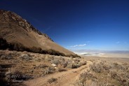
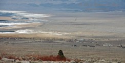
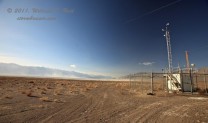
The wave clouds were just to my north—I was several miles southwest of Olancha on Walker Creek Road. Image 0249 is a look to the east over Olancha and the southern end of Owens Lake, and 0271 is a weather station along 190, between Olancha and Keeler. The view is to the NNW over Owens Lake.
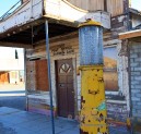
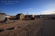
Darwin is an old mining town which is long past its heyday. The population today is about 50. I suspect that most of the folks living in Darwin are there to enjoy the isolation and the desert in their retirement years. There are no services, and the remote town is well off the beaten path, on a road to nowhere but Darwin.
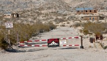
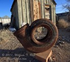
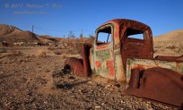
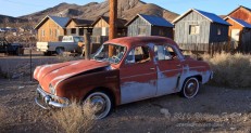
As one nears the town, a number of old, dilapidated, and long-abandoned homes and wooden structures are visible along a hillside on the north side of the road. Access to this area is not provided! An old unused post office and a dance hall are at the main intersection, and a dozen or two occupied residences line the few town streets. There were a lot of old beat up VW bugs in Darwin. What is up with that?












Leave a Reply
You must be logged in to post a comment.