On June 2 we worked our way north from Valentine towards central South Dakota. My chase account for CFDG was written the following morning:
The better risk for tornadoes on this day was east of the Missouri River in the Dakotas, according to SPC, in part due to strong 850 winds late. But, the cap was quite strong and there were no boundaries for low-level convergence in the eastern Dakotas. We had to venture north and west from Murdo after lunch, I figured, if we were to see convection before sunset. An approaching trough at upper levels was cooling the mid-levels and weakening the cap in western SD during the late afternoon, and a “lee trough” at the surface extended from about Lemmon to Rapid City. Dew points on the east side of the surface trough were 65F-67F, but the southeast winds were weak.
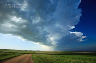
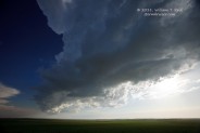
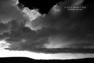
From Eagle Butte we drifted west to Faith, and we finally saw some perky cu west of Faith around 23Z. A very pretty line of convection went up in the deep blue South Dakota sky from near Usta to McIntosh. The strongest cell was to our north, between Isabel and McIntosh, and we could easily see a large RFD cut and some shallow lowerings. One or two other updrafts spun hard along Hwy 20 near Glad Valley, but these were scrawny. The biggest cell was heading away from us into ND, and I was reluctant to follow it given our leash (we had to start heading back to OKC on the 3rd), and its tornado potential seemed to be slim. The updrafts just to our west, west of Isabel, continued to struggle, so we elected to abandon this area and to dash south for the severe storms moving northeast through the Badlands. We had only an hour of sunlight remaining, and the Badlands storm was 120 miles away, but at least we might get a decent lightning display.
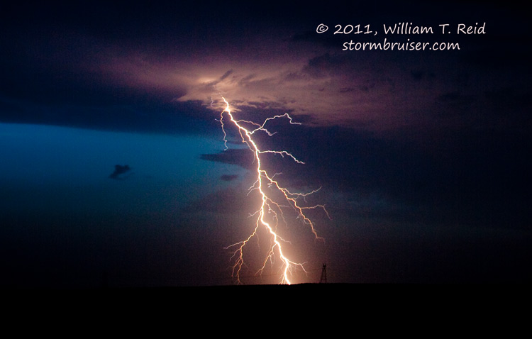
The storm complex held together and gave us a fairly good light show, both on the approach and at our stop just west of Hayes. The warning mentioned tennis ball-size hail and strong winds, and the structure was impressive in the lightning flashes. The cell(s) weakened a little just as it neared. Southwest winds picked up very quickly as the rain began, and we made our was into Hayes and found some cover for the vans. The wind in Hayes gusted to perhaps 50 mph and the hail was only marble-sized. The main storm core passed by just to our west and north.
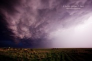
These images were taken along Highways 73 and 20 from Usta to Glad Valley and Isabel.
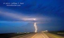
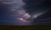
And these lightning images were taken at Highways 63 and 34 several miles west of Hayes, SD.




Leave a Reply
You must be logged in to post a comment.