We thought that this might be a day with tornadoes in northeastern KS, north of Topeka, but the weather gods said NO.
Here is my NOW post made early-mid-afternoon:
Our group is a little NW of TOP, at St. Marys, moving north towards Seneca. It would appear that much of the juxtaposition stuff is juxtapositioning near the KS/NE border towards 00Z. The 19Z surface map shows the surface low between Emporia and Salina, with nice ESE winds from Falls City to Hebron. Falls City dew is 72F.
HRRR makes a big storm by 21Z across the border into SE NE, along a E-W boundary with cool ENE wind on the north side. A little later storms go up along and just south of the KS/NE border, according to the latest RUC, on the primary warm front which separates the ESE winds from the southerlies in NE KS. The RUC shows a pronounced moisture convergence bullseye near Seneca, KS, at 00Z.
The satellite pic shows a clump of stratocu in and around Nemaha and Brown counties, so we’ll head on up to Seneca. Skies have cleared out nicely here, with just a few cirrus and stratocu. The smoke situation isn’t too bad —- but it is slightly murky with haze.
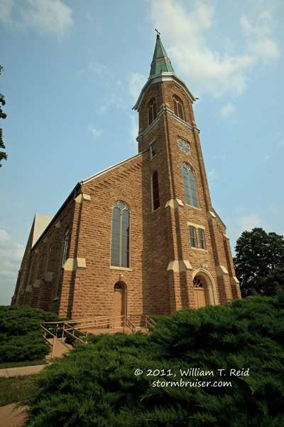
We spent a couple of hours in and around Seneca, and waited. We waited at the church in St. Benedict, and waited some more. Storms did not develop as expected. Here is the chase account:
We targeted the Seneca, KS, vicinity, just northeast of the surface low. Everything appeared to be in place for a supercell with excellent tornado prospects, but deep moist convection was absent in the favored target area. By about 6 p.m. storm towers developed near the Missouri River, two counties to our east. It appeared that if we were to observe a storm today, that this was our best bet. We played catch-up on the Saint Joseph storm, and as it was moving NE at 25 mph we caught it near Stanberry around 7:30 p.m. This was precisely when the storm quickly dissipated. It had been supercellular briefly with an impressive couplet as we honed in on it on its southeast side, but I think it encountered a cool and stable low-level air mass, perhaps the result of previous convection now to its east.
I then waffled between heading SE to strong/severe cells around Gallatin, MO, or going back WSW towards the new strong stuff (120 miles away) west of Topeka and moving into my original target area. I decided finally on the (much closer) back-building cells between Gallatin and Cameron. These were never able to get particularly strong or well organized, at least on the back-end where we were (baseball-size hail was reported with a big cell a county or two to our east). We watched a brief CG display and heard a few hailstones hit the vans, and that was about it. Pesky low clouds frequently blocked our view of the storm towers, so we limped into the Cameron motel with little to show for the day.
So, like yesterday when we figured that we were in good shape and in good position around Falls City, the cap had other ideas and left us with nothing (yesterday) or second-rate slop (today).


Leave a Reply
You must be logged in to post a comment.