This was the final chase day for Tour 5, out of OKC, and we had to be back to OKC by noon the next day. So, I was looking for a target within about six hours of OKC. Fortunately, there was one — the OK Panhandle! We started out in El Dorado, KS (a little east of Wichita), so we had a 5 or 6-hour drive to the west to make.
(By the way, our tour guest Tom Trott has some fabulous images from this particular tour, and from this chase day, on his web site “Capturing Adventure”.)
On the previous evening, I made the following forecast post, based on the evening computer model run(s):
Tonight’s NAM run for Saturday shows that wave at 500 mb (that Bob H. mentioned) cruising into SW KS around sunset time. And, it shows a splendid red blob for UVVs over SW KS at midnight. Winds at 850 and 700 crank up considerably in the vicinity of the eastern OK PH after 00Z. The theta-e axis runs from Baca County CO ese-ward towards Fort Supply, OK. Mid-60 dews are lapping at the eastern entrance of the OK PH around sunset. I suspect that a storm or two may scoot E or ESE from Baca County during the late afternoon, with a good chance for a significant increase in severity towards sunset around Elkhart/Guymon.
Around noon on this chase day I made the following observations and posted them to CFDG:
Our group has a loose tether today as we need to be back in OKC by about noon tomorrow, so we are looking primarily at the OK PH and vicinity. The 15Z RUC is kind of weak with the 500 flow—-25 to 30 knots from the west over SE CO and the OK PH. But, increasing SSE to SE flow from the surface to 850 (40 knots at 850 near GUY at 03Z) should more than compensate for that in the shear department. Forecast CAPES aren’t exactly off the charts, either. We will look for the tongue of highest dews making its way northwestward into and through the OK PH and latch onto that. The HRRR is generous with the storms in the eastern portions of the OK PH and NE TX PH by 23-00Z. 700 temps are quite a bit cooler towards Woodward, OK, compared to SE CO, and low-level moisture and CAPE may be a tad better.
We are westbound from Wichita and will be closely looking at the axis from about Baca County to Texas County to Lipscomb County. The NE TX PH play is slightly preferred given that we head back to OKC tomorrow. It looks like a great setup for spectacular supercell structure around sunset time. I’m not very bullish on tornado chances, in part due to the pre-existing drought in this region. We’ll see…
And, I wrote a “now” post at about 3:40 p.m. CDT:
It looks like the storm to be on right now is the one that is nearly stationary and NW of Kim. It has a very nice shape, but is likely high based given temp/dew point spreads of 30 (F) or greater in the area.
My thinking of Baca County ESE into Texas County OK for the 01Z to 03Z time frame, when the stronger winds begin to ramp up, still looks good. We are late for the afternoon show in SE CO—–still heading west through Meade County KS at this time. We will fine tune from the Liberal/Guymon area.
———-
So, given all of the above, it is clear that I liked Texas County — the middle of the OK Panhandle. We were headed west towards the “Kim” cell (in southeast CO), when a storm went up quickly just 30-40 miles away to our southwest, in Texas County. Here is the account that I wrote shortly after the chase:
It was very nice to have a forecast verify and for things to work out just about as planned —– though a bunch of luck was involved and things kind of fell into place and right into our laps. I thought that some nasty supercells would move ESE from about Baca County into Texas County this evening, with the best ingredients coming together in the OK PH around sunset. Stuff went up pretty early in SE CO and approached Baca County, with the nice Kim supercell nearly stationary. We were just getting out of Greensburg after a late lunch as the Kim cell was getting good — about 200 miles too far east! We plugged away westward, aiming at the Kim cell in case nothing else happened. A CB went up fairly quickly to our southwest when we were a little NNE of Liberal. It was close to or on the boundary, and it was easy pickins for us. The Kim cell instantly became a distant memory for our crew. We got up close to the east side of the new storm south of Hugoton, on the E-W road that goes west from LBL (3 miles north of OK). The cell was very high based, with the occasional downburst of precip. The cell split once, and the south split stopped moving NNE and started to slowly drift east along the KS/OK border. GR Level showed a 4-inch hail marker in the core a few miles to our SW, so I decided that it was no longer a good idea to sample the precip core.
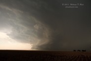
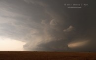
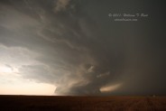
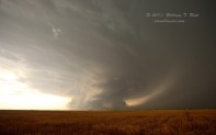
As we neared Liberal (maybe 10 miles west of town around 6 p.m.), the precip core to our west became very heavy, and a rain foot developed beneath the base. Some dust got kicked up and scud clouds were all of a sudden swirling around on the interface of inflow and outflow beneath the base. Strong east winds were whipping past us at our location east of the cell. In a matter of minutes, it seemed, the scud clouds attached themselves to the updraft base and the storm morphed from a ho-hum high-based hailer to a phenomenal low-based beast of a supercell. We were viewing the sculpted updraft base towards the SW while in light-mod rain, with strong ENE winds now. The thing was moving ESE, so we had to get into LBL and then south to maintain position.
At a stop about seven miles south of LBL, we had the business end directly to our west. A long plume of dust swept up to and under the low base from the NE, only a few miles away. Not too long after, we were blasted by extremely strong inflow winds from the NE, and my tripodded camcorder blew over onto its side (it still works, at least most of it). It was difficult to tell if there was much rotation with the low wall cloud due to dust being lifted into it.
After several minutes here, we had to bail south. I went right past the U.S. 64 east option to Forgan, figuring that that route would certainly lead to some sort of nasty encounters with hail, tornadoes, damaging winds, and/or Sasquatch. Seconds later I see Paul and the COD crew blast by northbound in the other direction right into the MAW of the BEAST! Yikes!
We had to blast south for several miles to clear a precip core just to our SW. After stopping again for a few minutes to look back north again, we got into the vans to reposition. It was just seconds after we got back on the road south that we looked back to the northeast to see an obvious dusty cone tornado connecting the surface and the cloud base, maybe 4 miles distant. We were about halfway between Turpin and Boyd on U.S. 83, looking NE. We quickly stopped, got out, and the tornado was no longer there—it had either quickly dissipated or had become rain-wrapped or dust-wrapped or otherwise visually indistinct. I called NWS AMA to let them know, and I think it may be my report which is in the tornado log at 0050Z in Beaver County. Unfortunately, we were unable to get any pics of the tornado, though Brian has some good ones of the action area taken a minute or two just prior to the tornado. The tornado was probably east or ESE of Turpin.
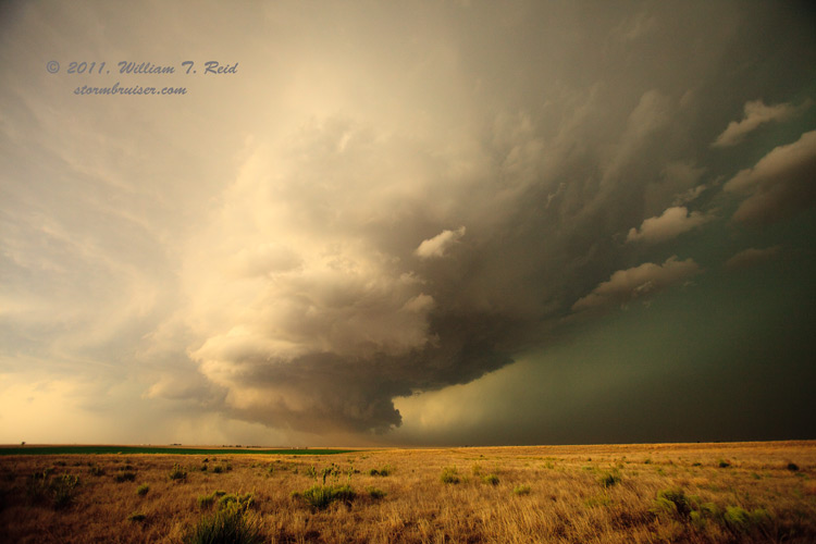
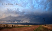
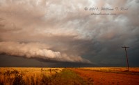
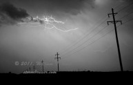
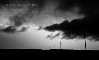
The cell continued mostly east along 64 as we went south and then east on 412. We had several good looks at the very nice HP structure around sunset, and found ourselves in a precip-free area with supercells to our NW, N, SE and S, all less than 25 miles away! The new beast of the moment after sunset (when we were near Slapout) was the one that was entering Ellis County, OK. One of the Threatnet wheelies showed 149 with that cell. All we could see was a bunch of embedded lightning. We followed it into Woodward for the night.
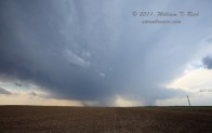
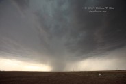
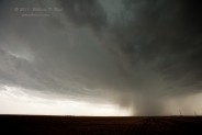
Okay, this blabber has become tiresome, time for some pics! The first one below shows the young storm splitting between Hough, OK, and Hugoton, KS, right along the state line. Later, the still relatively high-based “right split” member as a microburst-like blob develops. Views are to the west and WSW.
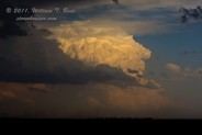
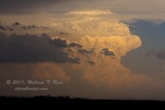
The next set of stills is of the impressive updraft “bomb” that went up (in Lipscomb County, TX) to our distant southeast as we maintained position just east of our nearby storm.
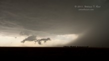
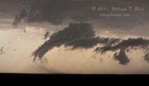
In the meantime, our “Hugoton” storm was starting to dump more and more precip, and scud clouds found themselves twisting around on the boundary between cool storm outflow and warm inflow from the east and southeast.
It didn’t take long for these scud clouds to rise and “stick” to the updraft base, and the storm began to rotate hard and became much more menacing.
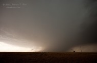
The six images above were taken some four to eight miles west of Liberal, KS, and the view is to the southwest and west-southwest. As the storm moved ESE at about 20 mph, we scooted east to Liberal and then south on U.S. 83, stopping a few miles south of the KS/OK border. The updraft was now to our due west, and sucking up plenty of dust on very strong E-NE inflow winds:
The next step was to get out of the way, and I got these shots towards the southwest as we blasted south:
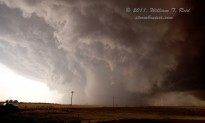
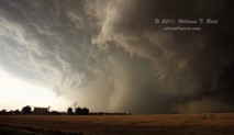
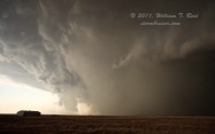 Shortly after getting south far enough, I got this shot of the action area back to the NNE, where we viewed what may have been a dusty tornado moments later:
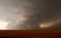
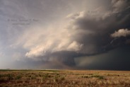
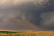
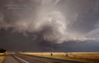
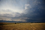
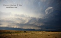
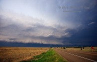
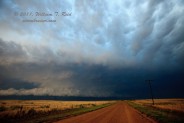
Finally, here are a few images of the storm structure and some lightning taken from U.S. 412 south of Beaver and near Slapout:







Leave a Reply
You must be logged in to post a comment.