The prospects for a good severe storm were rather slim on the High Plains as low-level moisture was marginal and upper-level flow was so-so. We started the day at Sundance, WY, and targeted the area along the WY/MT border from about Sheridan to Broadus. After a nice BBQ lunch in Gillette, we headed up to Broadus and waited for some development. Weather charts indicated that the environment looked decent for a nice supercell a little north of Broadus, but the cap was strong there. A cu field developed and we watched a couple of half-hearted attempts at deep moist convection. It didn’t happen. We blew that off and headed west on 212 to Crow Agency along I-90. A strong storm or two was coming off of the mountains west and northwest of Sheridan, WY.
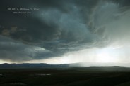
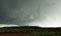
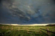
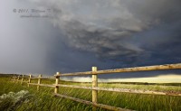
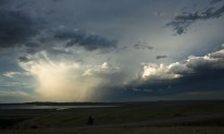
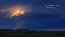
We stopped along I-90 north of the WY/MT border near Wyola to view rather disorganized and high-based junk, but the CG frequency was pretty good. This moved overhead and forced us south into WY. We stopped near Ranchester and Acme and viewed a rotating base to the west, but it was high-based and seemed to sputter. The light and landscape were pretty, though!
The storm continued to the east into a poor road network northeast of Sheridan, and we viewed from a distance along I-90 from Sheridan to Buffalo and eastward.


Leave a Reply
You must be logged in to post a comment.