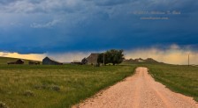
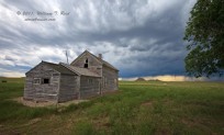
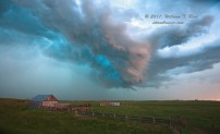
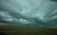
On the 24th we moseyed southward from Sundance to Lusk and had lunch. My target was the Lusk area, and storms began to develop by mid-afternoon over the higher terrain to the west, around Douglas. Our expectations on this marginal chase day were not high. We went west from Lusk and south from Manville on 270 to get in front of the activity. There were a handful of blah-looking high-based cells from our southwest to northwest. We waited for something to get more interesting at an old abandoned ranch house, some 16 miles south of Manville on Jireh Road.
As the junky convection approached, I had to decide whether to target the northern end (along U.S. 20) or the southern end (along U.S. 26). Both ends were showing some promise of organization. I went for the closer cell to the northwest, which was also closer to my original target area.
We made a quick pit stop in Manville while the storm strengthened overhead. An impressive CG barrage greeted us in Lusk as we pressed eastward to get ahead of the storm base. Finally, near the Nebraska border, we managed to get far enough in front to stop and take a look. The storm exhibited some supercell characteristics while we tried to stay dry right in front of it from Harrison to Crawford.
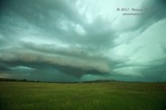
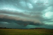
There is a forested canyon area just west of Fort Robinson, and we stopped on a high point on its west side to watch a nearby storm base. It had an area of weak rotation with a bit of a “pregnant” look, which sometimes precedes tornado development. As it moved nearly overhead, we had to bail to the east through the canyon, and were unable to see what was going on behind us for maybe 7 minutes. It was during this time frame that someone reported a tornado at about the spot that we had just been! When we reached an open area with a good view back to the west, there was no tornado—just a mediocre wall cloud (last two images above).
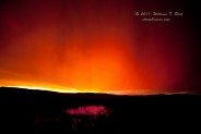
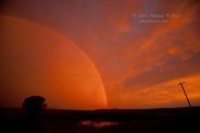
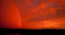
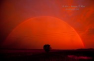
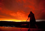
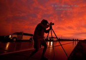
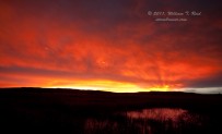
The storm was moving somewhat quickly to the northeast, and started to fall apart a little as it interacted with other junky storms. It wasn’t worth expending much energy to stay with. We raced east on U.S. 20 beyond Chadron to try to get ahead of another storm. It was mildly interesting for a bit, and then weakened. At Hay Springs, we were left with a little lighting and rain and a worked-over atmosphere, so we relaxed and had dinner. On our way to Valentine at sunset, the atmosphere gave us a good reason to stop and enjoy the western Nebraska sky! These colors are accurate and real-life — little to no photoshop enhancement was implemented on the images below!

Leave a Reply
You must be logged in to post a comment.