Today was the final chase day for the Tour 8/Doswell group. The previous day featured the murk and messy nonsense in central and eastern NE, so I was ready to head out west for some pristine skies. The outlook for severe weather along Colorado’s front range was rather slim, but the surface flow was upslope and moist enough for some high-based updrafts. We made our way from Cozad to Limon and west to Interstate 25, between Castle Rock and Colorado Springs. This is right along the Palmer Divide: the elevated, favored area for storm formation on many late spring and early summer afternoons. Given the “35-40 knots of deep layer westerly shear” here, according to SPC, I was hoping for a picturesque, isolated, rotating updraft. Well, we got about four of them, one after the other!
Storm cells went up west of Larkspur (which is along I-25 north of Monument) and moved east. We waited near the Interstate, and moved east a little with one or two of these. The updrafts sputtered east of the Interstate due to a decrease in low-to-mid-level instability, and we headed back to the Interstate as the next pulse strengthened over the mountains.
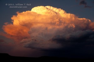
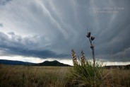
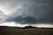
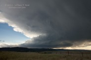
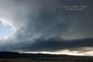
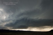
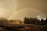
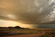
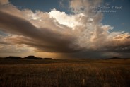
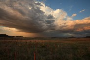
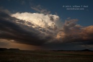
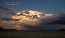
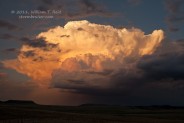
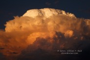
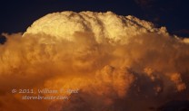
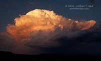
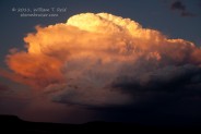
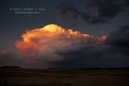
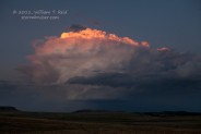
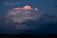
The first couple of cells were unimpressive, but the last two were somewhat strong (see images above). I elected to place ourselves in the path of the core of the last supercell, and we caught a rainbow and some one-inch hail a little south of Larkspur. I was going to continue east with this updraft, but then the sun came out and the light on the backside of the storm was quite nice. We stopped on a hill on the west side of the Interstate a little north of Palmer Lake and set up the tripods.




Leave a Reply
You must be logged in to post a comment.