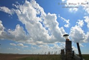
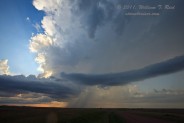
The forecast for Corson County, SD, and vicinity worked out marginally well on this day. We began in Belfield, ND, and worked our way east and south via Mandan to Mobridge. This was very near a weak cool front, and dews at MBG were as high as 77F by late afternoon. SBCAPE values were as high as 6000 (without CIN!) and effective bulk shear was more than enough for a great supercell. All we needed was a storm. An area of cumulus puffed away along the front a little sw of MBG. We were beneath a handful of strong attempts to break the cap, south of Trail City. Nothing could survive. Around 00Z we were at La Plant on U.S. 212, ringing the local church bell. Our cu field just to the north had dissipated for the most part, but a meager clump or two of cu refused to give up. Finally, a tower broke through and we started to get some strong returns. The storm quickly attained classic supercell structure, but was definitely on the scrawny side of the supercell size spectrum. From BIA 7, east of Promise, SD, we had a great view of the cell above the sweeping SD grasslands. The storm showed great promise, too, for about 15 minutes (we heard a great hail roar!), but then it sputtered and coughed and wheezed and shriveled. (Another cell about 40 miles to the ENE seemed to be behaving similarly.)
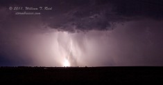
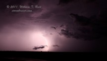
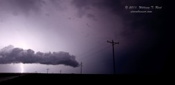
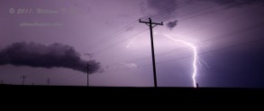
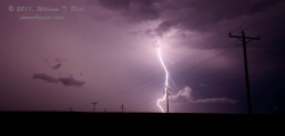
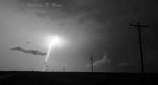
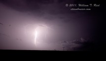
I got rooms in Pierre, and on the way south a cluster of very strong storms matured west and north of PIR. We managed to squeeze ourselves in between several of these very electrified storms, and we had an amazing 4th of July thunder and lightning show! Lightning in these nearly stationary storms was practically continuous. At, Pierre, around midnight, Sioux Avenue had about a foot of water on it, and we had to find an alternate path to get to the Super 8!
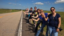
The images above show the towering cumulus clouds southwest of Mobridge during the late afternoon. (This was near Trail City and Promise. Promise is a barely-there place along BIA 7 between Trail City and La Plant. I think it is named after the yummy buttery spread.) It was quite miserable in the sun, with a temperature near 90F and dew point of 77F! We drove back and forth on the road for a time to try to stay in the shade of the clouds. We were right on the front, too, and had little or no breeze. What do you make of this line-up of hitchhikers?
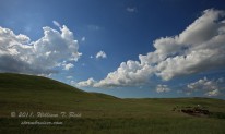
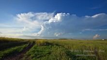
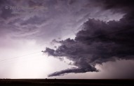
We were somewhat despondent when nothing matured in our cu field near Promise, and we took the dirt road BIA 7 south to La Plant (in case a strong storm went up farther west on 212). I took the first two images of the four above at 6:56 p.m. MDT (0056Z), from La Plant. The cell was — you guessed it — practically right over Promise, SD. A little more than 40 minutes later we were just southeast of the storm, along BIA 7. Though we heard a pronounced hail roar, I think that the storm was already weakening at this point. In the first image of the supercell (3741), a second strong updraft can be seen on the extreme right. It is along the front and about 50 miles ENE of our nearby storm.
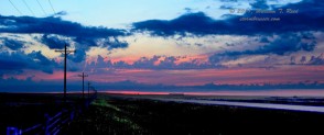
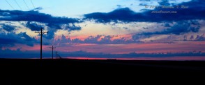
The lightning pics from Route 1804 about 15 NNW of Pierre are below. I got a little artsy with the colorful sunset shot by jacking up the foreground brightness (the same image without the drastic photoshopping is also provided) —- it looks unnatural, of course, but I thought it was worth sharing.





Leave a Reply
You must be logged in to post a comment.