Charlie Bustamante and I moseyed on up to the southern Owens Valley for a day of wind and dust and photography. The late morning hours were spent around Keeler and Owens Lake, and a separate Stormbruiser page was posted for that. After lunch in Lone Pine, we elected to go into pretty picture-taking mode in and around the Alabama Hills, below Mount Whitney. It was chilly and occasionally windy here, but not nearly as nasty as the conditions southeast of Lone Pine and around Keeler and Swansea.
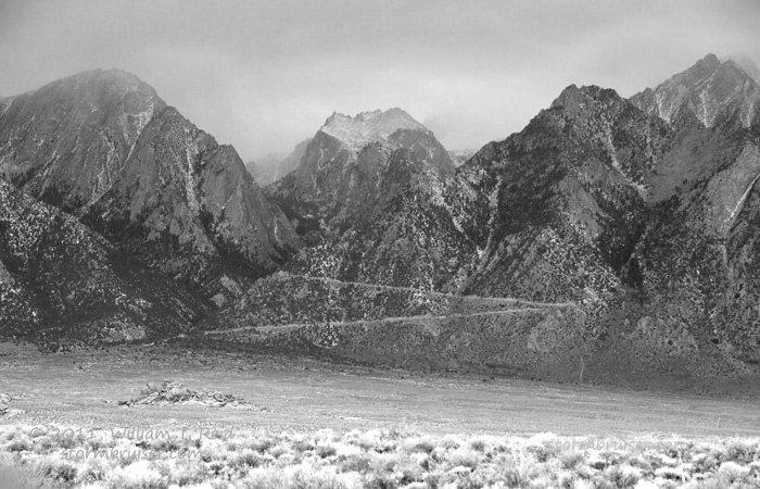
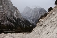
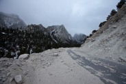
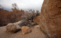
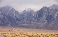
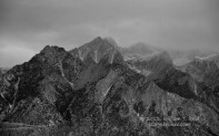
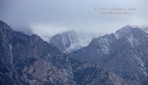
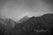
The images above were a little west of the sharp switchbacks on the Whitney Portal Road west of Lone Pine, at about 8000 feet elevation. The temperature here was about 28F, but the wind was light. Mount Whitney itself was obscured by clouds. We had driven beyond the official “road closed” sign (below the switchbacks), and came upon this part where plenty of rocks and dirt had descended upon the road.
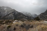
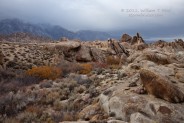
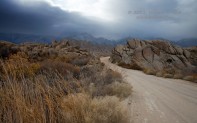
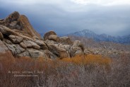
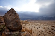
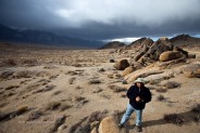
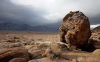
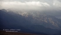
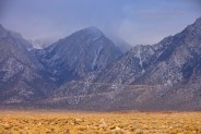
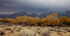
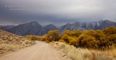
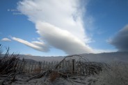
The Alabama Hills are just west and northwest of Lone Pine. Some clouds, including the large wave cloud that was over nearby Owens Lake, were shading most of the area; but, occasionally the sun emerged for a brief appearance and lit up our foregrounds. The face of the eastern Sierra remained quite prominent and presented the usual fantastic photo ops:
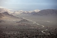
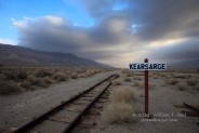
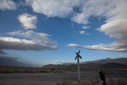
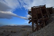
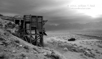
From here we poked around the Owens River east of Independence, and came upon an old railroad station called “Kearsarge,” and an abandoned mining operation.
After one last stop to image the Eastern Sierra around sunset, we headed back south towards the real world. I’m ready to go back already.


Leave a Reply
You must be logged in to post a comment.