We started today in Yuma, CO, and headed due south towards our target area — generally around Baca County, CO, and Cimarron County, OK. I liked this area a little more than the somewhat moister TX PH because it was closer to the axis of stronger WSW winds at 500 mb and closer to the sweet spot just northeast of the developing surface low near Raton, NM. The primary problems today —- the main upper-level trough was not timed very well (about 6-12 hours late) and low-level moisture was so-so. Strong southeast winds would blow through the target region all afternoon and evening, but dew points were generally in the low 50s. A lot of mid and high-level clouds were around during the afternoon, but they weren’t thick or prevalent enough to cause consternation by mid-afternoon.
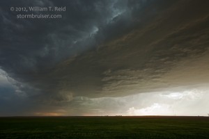
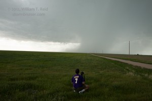
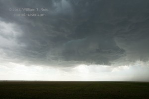
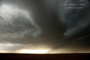
After lunch in Lamar around 2 p.m., we moseyed southward into Baca County and saw some cruddy-looking convection going up about 30 miles to the west. Several weak cells lined up from west of Springfield to west of Lamar and moved northeast. I considered blowing this off and continuing to Boise City, but there was nothing happening in that direction. We elected to watch the cell at the south end of our line to the west. Soon, our cell and several of the cells were warned, and our tail-end one was the only one which was able to persist. I was surprised that this soft and junky cell quickly assumed supercell characteristics and managed storm tops well over 50,000 feet. The base became a bit rounded and a clear slot cut in, but then the cell struggled some as it crossed 385. Towards Two Buttes it regained strength, but the base was never again able to tighten up and get that well-organized rounded look.
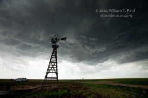
The supercell continued somewhat slowly eastward towards Johnson, KS. The base was rather high, large, black and a bit strung out. Lowerings were few and unimpressive, except for a brief large but non-rotating wall cloud west of Johnson. As sunset neared, another cell was charging NNE-ward out of the OK PH (a left-mover?) and just missed the Johnson cell on the east side. These two cells and two new ones to the southwest quickly fizzled thereafter.





Leave a Reply
You must be logged in to post a comment.