The previous day was active up north near Topeka, KS, and we stayed the night near Wichita. The target area today was the Red River area, near Lawton and Wichita Falls. The cap was strong and the chances for daytime storms along a SW-NE boundary from about Vernon to Oklahoma City were so-so. Computer models indicated a big cell before sunset way down south, around Clairemont, TX. But, dew points in that region were in the upper 40s, compared to the mid 60s near the Red River. Models were certain about convection and even supercells somewhere near the boundary in SW OK…but were waffling as to whether storms would initiate before dark or not.
We drifted south to Wichita Falls and even a little south of there, even though a surface circulation and moisture convergence bullseye suggested that convection was more likely up towards Lawton. I thought about blasting southwest to the Clairemont area (Kent County, TX) around 4 p.m., but resisted and decided to give our original target area a chance. By 6 or 7 p.m., our area had little more than a struggling cumulus field, and that big and bad storm did indeed form in the middle of the wasteland between Abilene and Lubbock —- near Clairemont. Shucks.
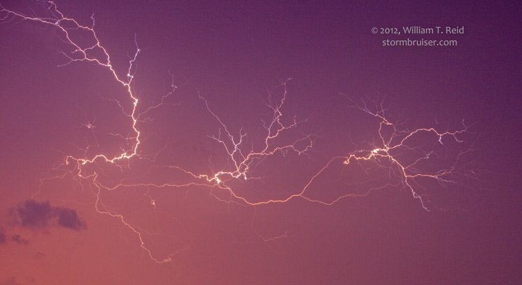
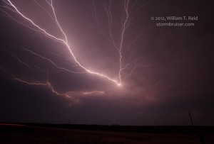
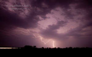
We rolled into Vernon at 8 p.m. and got a quick bite at McDonalds. I reserved rooms in town, and then decided to blast SSW to the beast, now tornado warned! It was 100 miles away, but I thought that we should be able to at least get a decent light show if we drove for an hour or so. As we neared Benjamin, we were treated to some distant CGs out of the big storm’s anvil, and some nearby CGs due to new small cells. After clearing these small cells and the rain south of Benjamin, we stopped and set up the tripods and had a little luck with some lightning crawlers.
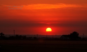
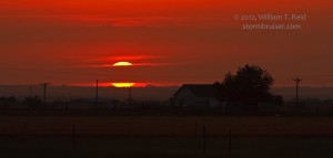
The sunset pics were just south of Vernon.

Leave a Reply
You must be logged in to post a comment.