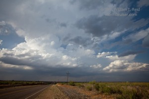
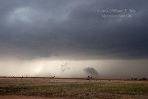
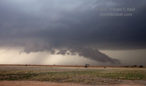
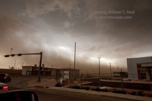
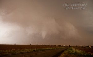
This day began in Vernon, TX, and we targeted the warm front/boundary that was in the Lamesa area midday. It lifted north a tad during the afternoon and convection began west and SW of Levelland late afternoon. A supercell got its act going just north of Levelland. A large gustnado developed to our south while we hugged a menacing wall cloud. The cell was a little outflowish with a large precip core, and RFD winds kicked up large dust plumes along Highway 114 east of Levelland.
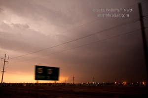
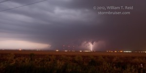
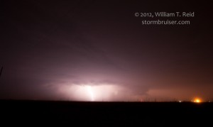
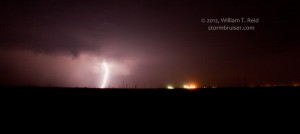
An area of interest showed some promise just north of Smyer (along 114), but dust and poor contrast made it difficult to see exactly what was happening. I elected to head east and north a little for some structure and maybe some back lighting, and this is when a new updraft went up quickly just south of 114, I think. This one quickly strengthened, became the dominant cell, and developed a big hook and was tornado warned. We zoomed southward around the west side of Lubbock on the loop, and had a good look at the supercell and frequent lightning to our southwest. The storm turned to the ESE and headed towards the southern fringe of LBB. We got east of the updraft in light rain and occasional small hail on the southwestern fringe of Lubbock, north of Slide. We had a pretty good look into the notch area from some 5-8 miles away and saw no tornado, or good wall cloud for that matter. Dust was a problem, it was getting dark, and lightning was not frequent enough to help out much.
Quarter-size hail chased us farther east and south along U.S. 87, and we let the thing pass to our north. Again, it was difficult to discern much at low-levels due to dusty inflow. We inched back north along 87 after the cell had passed by (or at least 80 percent of the core). We stopped at the Lubbock/Lynn county line and picked up hailstones that measured up to 3 inches. Also, blowing hail fog made driving extremely hazardous —– it was the first time I had witnessed blowing hail fog! We saw numerous vehicles off of the road with broken glass. The bulk of the city of Lubbock dodged a bullet with this one.


Leave a Reply
You must be logged in to post a comment.