CLICK HERE FOR VIDEO (video begins at 24-second mark)
Howdy all! It is May 1 as I write this, my first post since I left California for my chase season a couple of weeks ago. I have a lot of catching up to do on Stormbruiser. Tempest Tours’ 2012 Tour 1 began out of Arlington, TX, on April 21, and ended on April 30. The first half was very slow storm-wise, and the last half was very active. We saw a supercell near Springfield, CO, on April 26; a brief tornado near Council Grove, KS, on April 27; nice night lightning near Benjamin, TX, on April 28; a nasty supercell near Lubbock, TX, on April 29; and another fierce supercell in the eastern TX Panhandle on April 30. Check back often for updates!
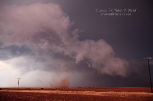
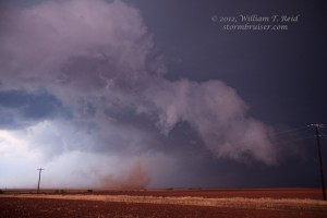
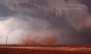
This page is for the Memphis-to-Wellington, TX supercell and likely tornado on April 30. We are relatively certain that the strongly rotating whirl that evening was a tornado —- check out the pics and video (video link is above). Below is my chase account written shortly after the chase for the chaser community.
——–
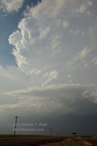
My apparent “no brainer” forecast for the western end of the high CAPE lobe near the dry line NW of LBB did not pan out very well. We sat near Littlefield watching towers go up and down — mostly down. A large CB was visible towards AMA, but was soft for the most part from about 4 to 5 p.m. A much better and beefier CB exploded to our SE, near Post. I briefly considered blasting SE 70 miles for this, but did not. With my forecast target area falling apart, I elected to head east towards a towering cumulus cloud that was near Kress. If it did not impress, then I figured that it wouldn’t be too difficult to latch on the AMA area storm(s), which continued to have issues.
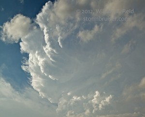
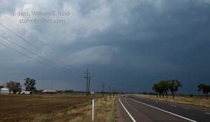
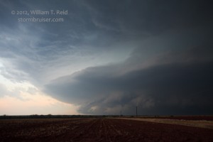
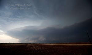
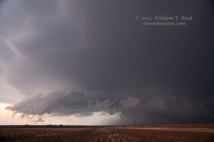
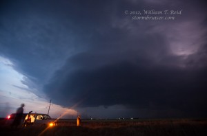
The Kress updraft poofed out but a new strong storm tower quickly developed not too far north of it. We blasted through Silverton and towards Memphis in order to get good position on it. Meanwhile, a left-split from the Post-area complex was headed NNE and was on a collision course with our increasingly impressive Clarendon supercell. Area dew points were lower than I would have liked — in the upper 50s — but low-mid 60s were waiting in SW OK. We finally got in good position a bit NNE of Memphis, and viewed some fairly impressive structure including a large low-level inflow band and occasional wall cloud. Disaster struck, though, when we got stuck trying to turn around (3-to-7-or-more-point turn) on a soft and sandy side road. Fortunately, Brian Morganti was now with our group, and his 4WD helped to straighten us out and get us out of the mess. We would have been pummeled by 2 or 3 supercell cores had he not just joined us at Kress!
6507 below is of the left-split supercell that was heading NNE towards our nearby developing storm.
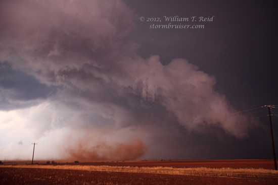
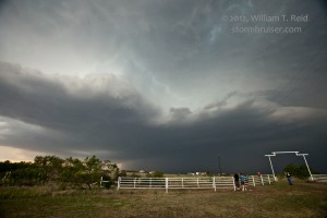
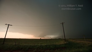
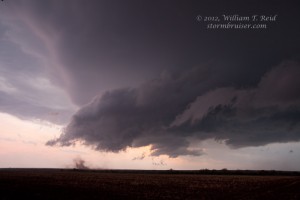
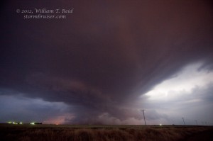
We were skirted by the core of the lead supercell west of Wellington and received a few dime and nickel hailstones. The left mover to the south weakened just as it neared, and the remains were ingested into our nearby supercell. We headed south on U.S. 83 out of Wellington to take a look at the front end. Structure was quite nice with a low-hanging action area to our NW, though contrast and light conditions were poor. While some 8 miles S of Wellington (near the county line, I think) a good-sized dust whirl was viewed to the NW. It persisted for at least a couple of minutes, with some rotation in the clouds above. It approached quickly and a wide swath of dusty outflow was soon descending upon us. We got out of there in a hurry! The dust whirl did not seem to be associated with the primary action area of the mesocyclone, but it was fairly strong and long-lived —– a very strong gustnado or weak tornado hybrid, I guess.
——-
***May 1 UPDATE!!*** Upon review of our images and video 24 hours after the event, we are going with “tornado” for this tight and strongly rotating item. Wide video shows a nicely persistent and rotating cloud above the whirl. The tornado event was from about 8:29 to 8:32 p.m. CDT, and was a mile or so west of U.S. 82 and about seven miles south of Wellington. An RFD was kicking up dust to our SSW during the event, and though the tornado was not back in towards the old action area near the core, I think a new meso near the leading edge was developing and was responsible for the tornado. The “tornadic” circulation appeared too strong, too large, and too persistent for “gustnado” status.
——-
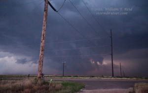
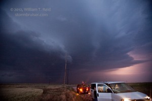
With little light remaining we got out ahead of the cell a bit along 62 on the way to Altus and made a few stops to admire the view. Plenty of dust could be seen beneath the updraft base, but it was impossible to ascertain if any legitimate tornadoes were in progress.
I went to bed very happy — the Kings beat the Blues 5-2 in Round Two, Game Two in St. Louis to take a 2-0 lead in the series.
Link to NWS Amarillo page for April 30, with radar image of Wellington storm

Leave a Reply
You must be logged in to post a comment.