We had a pretty good severe-weather show this day WAY down in south Texas, around Laredo. Here is my brief chase account written shortly after the chase:
—-
Today, May 10, featured good severe weather ingredients for south TX, and maybe not too far from Del Rio. Supercells and tornadoes were predicted by SPC. We hung around Del Rio into the early afternoon, then figured out that better convergence and low-level air was down south towards Dimmit County. Upon reaching Highway 44 (north of Laredo), we considered going after big cells which were getting tornado warned to the east, but elected to stick with Plan A — wait for supercells moving out of Mexico. One big one approached us as we waited ten miles southwest of Encinal. A left split slammed into it, but this caused little more than a hiccup and the beast reorganized quickly. As it approached our location, it featured a large area of lowerings and some good low-level structure. It was a bit outflowish and HP-ish, though, and it chased us farther south as it turned ESE. We raced south to Laredo and ENE on 59 to intercept it again, but it was even more outflowish and disorganized. Occasional inch-diameter hail and heavy rain accompanied us on the way to a flooded Freer, TX. I reserved rooms in Hebbronville, 40 miles to the south. Nice lightning crawlers and this update summary are causing me to stay up too late!
—-
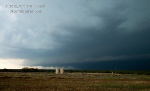
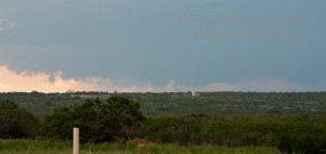
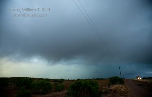
While waiting for the supercell to reach the Rio Grande north of Laredo, we could see some lowerings which suggested some good organization (image 5325 below). The trend seemed to go downhill on low-level organization, though, after the interaction with the left split.
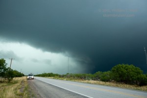
Here is a look at the wet cells east of Laredo:
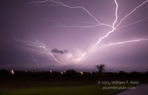
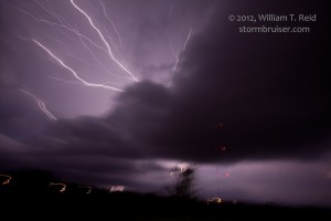
And, a couple of “stills” of the lightning crawlers above Hebbronville. Unfortunately, my camera tripod was not available at the time of this nice crawler display. The camera was handheld and I had to settle for a shaky look, but it gives you a good idea at least!

Leave a Reply
You must be logged in to post a comment.