Wow — a slight risk for severe weather on the Day One! But wait, it is for Yellowstone National Park and vicinity, and not western Nebraska — darn!
This was another day with so-so moisture and so-so shear, but it was looking a little bit better than the day before, up along I-80 around Ogallala, perhaps. This area was barely in SPC’s 5% damaging wind outline, which favored areas to the west and north. We kept our expectations low.
After lunch at Valentino’s in Ogallala, we must have ventured west a bit, as my notes indicate that we observed some high-based storms from Big Springs to Brule. Organization was minimal, and it was looking like another ho-hum junky storm day on the High Plains due to pathetic low-level moisture.
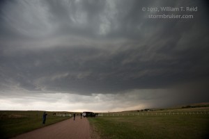
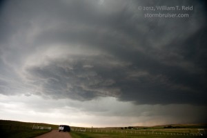
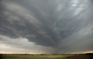
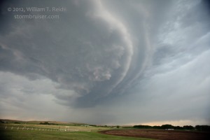
We were dragged farther eastward, to Ogallala and Paxton, on U.S. 30. Here we were east of the storm base and the area of precip. I thought we might be able to get a colorful sunset with some CGs to try to photograph. We scooted up to Keystone and then west towards the eastern edge of Lake McConaughy, stopping along Broken Axle Road. To our west a storm base was persisting, lowering a little, and maybe even rotating!
Our rotating updraft in Keith County, Nebraska, gave us a great and relaxing show as we watched it drift from west to northwest to north. Lightning was sporadic and the structure wasn’t exactly jaw dropping, but this was quite a bit more than we were expecting on this chase day.
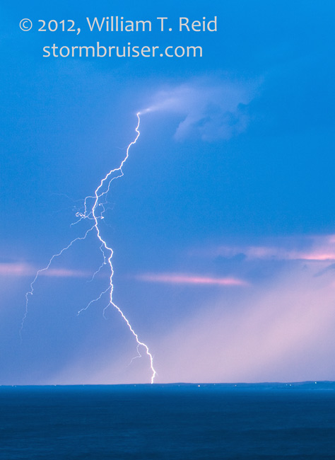
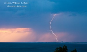
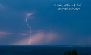
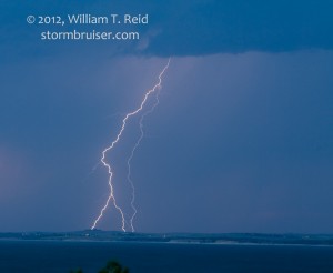
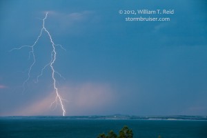
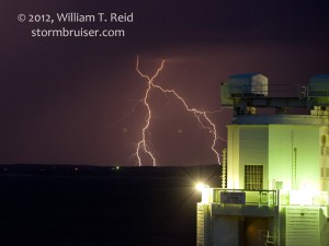
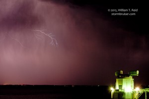
The supercell weakened around sunset as it moved over the Sand Hills to our north. I booked rooms in Alma, NE, which was about two hours away to the east and south, as the next day was looking pretty good somewhere around central KS. However, we were distracted for more than an hour at the Lake McConaughy Dam by a fantastic lightning display to our west, over the reservoir!





Leave a Reply
You must be logged in to post a comment.