This day was a crazy and sad one, as one of our tour guests passed out in the van during the chase. Steve was not responding despite the heroic efforts of two of our other guests to keep him alive as we waited for an ambulance near Weatherford, OK, and as a supercell was bearing down on us!
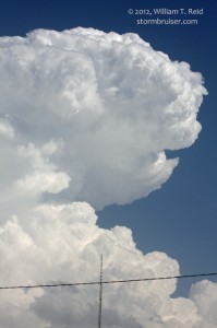
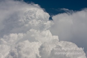
Our trek commenced from Alma, NE, and I had a fuzzy focus area around central KS. Another area to monitor was northwest OK. Tornado chances were on the slim side, but a beastly supercell was not out of the question as shear and instability were finally looking good. We stopped for lunch in Stockton, KS, and then dropped south towards Russell and beyond on U.S. 281. Storm towers were already going up to our south a county or two away, near St. John/Stafford. We needed to get in front of this big storm, but it wasn’t going to be easy, especially if it was going to move east or east-southeast at a moderate pace. Near Great Bend we stopped briefly to get take a look at the impressive updraft towers, and then needed to blast south again towards the St. John storm. Unfortunately, the storm split, and the left split was coming northward, right at us! The radar and warning information suggested hail no larger than an inch in diameter, so I decided to press southward to try to get to the “right split”. No such luck — golfball-sized hail and even 2-inch size stones began smashing the earth around us. We turned around and found a carport for the vans, barely avoiding breaking glass issues! The hail delay cost us about 10-15 minutes, and that right-split storm, now to our SSE by perhaps 25 miles, was getting bigger and better and moving east to ESE at about 25 mph. UGH. Brian Morganti was in good position on it, and he reported some interesting lowerings.
I made an aborted dash to the east in order to try to skirt the precip core and to get in front of the updraft base. But, the math just didn’t look that good —- it was going to take too long to accomplish this —- and by the time we made it there, would the storm even be worth the trouble? I didn’t know. One thing I DID know was that the cap was a bit stronger in NW OK, where strong to severe storms were expected a little later. It was still early, around 4 p.m., and there was plenty of time to get in front of something in NW OK. Here in KS, the cap was weak, and semi-early convection such as this often results in junky outflowish storms that interfere with each other. I didn’t like that. SPC had issued a severe watch box for central KS, as it appeared that the low-level wind fields and the high storm bases would not be very conducive for tornado-making. Even though we were fairly close to the KS storms, though out of position, I elected to keep going south on 281 into NW OK.
We stopped in Pratt, KS, for fuel, and new towers were exploding not too far to the east! Gad—-this day is going to make me crazy!
Convection was developing south or even SSW-ward from the earlier activity. There may have been a report of a weak and brief landspout-ish tornado by this point in time, but it didn’t seem like the new development would become a great big tornadic supercell, so I stuck with the NW OK plan. About an hour or so south of Pratt, near Medicine Lodge, we started to hear the news of plenty of tornadoes with the activity we had just driven away from. That is exactly what you do NOT want to hear — EVER! Well, the storm east of Pratt wasn’t exactly a monster tornadic supercell, but it was spinning up a number of weak tornadoes and one long-lived and robust tornado, along some sort of N-S boundary above which the new towers were exploding. Oh well. This hybrid stuff is almost impossible to forecast, and we’ll see what OK has to offer. Cells were going up there, and we would be able to get into proper position on these.
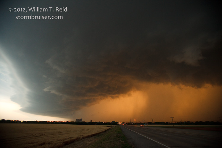
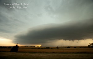
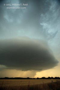
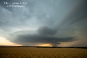
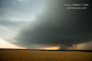
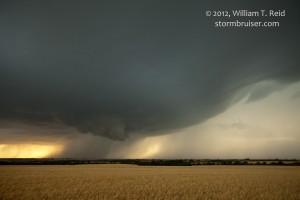
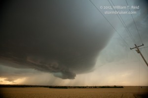
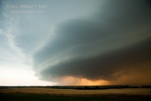
We continued south through Alva and Seiling to Taloga, and finally found a healthy updraft to our west. Low level organization looked great, but, unlike the KS situation, there was no boundary lurking to help spin up tornadoes of any sort. The first Taloga supercell sputtered to our north, and another one loomed to our southwest.
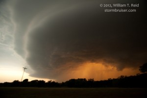
As you can see, the structure with these supercells was quite nice! Our group was lined up on the west side of 281 to watch, except for Steve. I checked with him inside the van to see if everything was okay, and he said he was fine. It was weird, though, that he wasn’t outside enjoying the show.
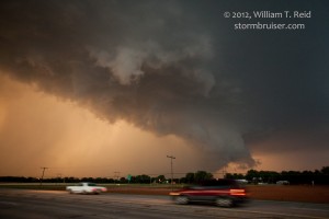
As sunset neared, a large storm beckoned down along U.S. 40 near Clinton. We managed to get in front of it between Clinton and Weatherford. It sported a bit of an RFD cut and action area, but never got really serious about making a tornado.
It was time to get out in front a bit more and to enjoy the structure and lightning as it got dark, so we headed to Weatherford and then south a few miles to a hilltop. At this point in time Steve had collapsed in the back seat of one of the vans and was not responding. We had him out on the ground and were trying to keep him alive as we waited for the paramedics as the big storm loomed to our west. Finally, the paramedics arrived and transprorted Steve into the hospital in nearby Weatherford. Somehow, the supercell weakened or veered away and did not impact us. I thought for sure that we were going to get blasted by hail and wind.
The evening was filled with very nice lightning and anvil crawlers, but our group was subdued as we waited for word on Steve. He was breathing now and his vitals were okay, but he was still unconscious. A few days later, he passed away.




Leave a Reply
You must be logged in to post a comment.