What are the odds that a storm chaser would be in chase mode somewhere on the Plains in May —- in the area where he genuinely felt provided the best chance for severe weather on that particular day —- and:
a) he winds up on a storm which quickly dies about an hour or two before sunset leaving him
b) only 45 minutes away from getting into position to witness the sun set as it is being almost totally eclipsed by the moon in…
c) …in West Texas, with a perfect flat and low horizon to the west with only a few clouds around to add to the perfect picture scenario??!!
Balderdash, you would say! Not ever gonna happen! One hundred percent poppycock!
Well, what if I told you that the annular eclipsed sun was setting next to a developing long-lived tornado and an erupting volcano with bald eagles flying in and out of the camera view as an old house gets torn asunder while the Hawaiian Tropic Bikini Team Bus stops nearby to see what’s up?
If I told you that, I would then quickly say that I was making it up. However, the first a–b–c part is true. We targeted a boundary which stretched from around Wichita Falls westward to south of Lubbock. I was hoping that the western end of the boundary would be active, as that is where one needed to be to witness the annular eclipse at sunset. Around midday I posted the following:
—–
We are near Hollis and we will also be playing that obvious boundary, which looks to extend from extreme SW OK to about the Andrews, TX, area. Forecast CAPE and EHI look more than decent along this line. I just have no idea yet exactly which part of the boundary to hone in on. The models seem to suggest that we need to keep going south and west to Andrews and vicinity. We’ll stop in CDS for lunch and figure it out from there. I suppose that the farther southwest we go, the better for eclipse viewing, provided it isn’t too cloudy.
—–
Our group visited the Bridge of Doom and lunched at K-Bobs in Childress. We drifted south to Guthrie, where surface convergence looked decent. However, some thunderstorms were erupting a couple of counties to the east, towards Seymour and a little northeast of there. I hemmed and hawed and decided to check out the activity about an hour away to our east. These storms were pretty lame, and I wrote the following NOW post:
—–
We were in Guthrie and got suckered east to the Vernon/Electra storm. From U.S. 82 ssw of it (near Mabelle) it looked very unimpressive, and the sky in all directions looked very stable.
We passed by a new updraft a little north of Seymour and are headed back west to the new Guthrie cell. At least the sky doesn’t have a “dead” look in that direction.
—–
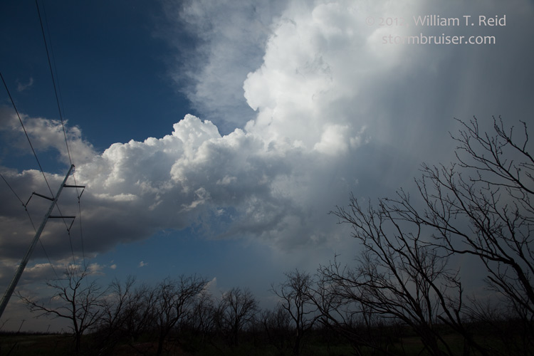
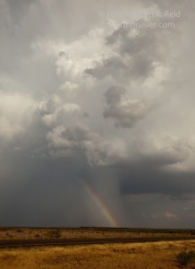
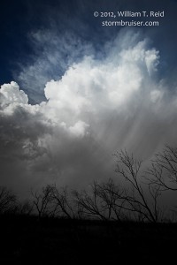
Yes, a decent storm developed right near Guthrie as we were distracted by the dud cells to our east. On our way back west along U.S. 82, the Guthrie storm matured into a fairly decent supercell. It was moving southeast, though, into the Kent County road void. At Benjamin, I elected to head west first and then south out of Guthrie to get close to the cell. This plan worked out okay, and we came up close to the rear of the updraft between Guthrie and Aspermont, but the storm was sputtering and weakening. We stopped to take pictures and gave it the last rites.
This cell and its somewhat early demise allowed us to go into eclipse viewing mode. We headed west on U.S. 380 to Jayton and found a relatively high spot a little east of town. I’ll post the eclipse images on another SB page for May 20.


Leave a Reply
You must be logged in to post a comment.