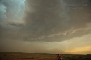
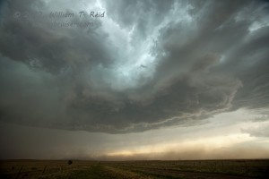
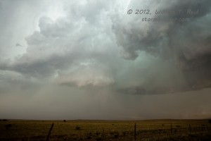
I almost put a question mark after “supercell” up there in the title, as the storm that we viewed fell a bit short in terms of structure and expectations. But, it showed enough organization and it persisted long enough to attain “supercell” status, I suppose.
We started out of Marfa by mid-morning and made a beeline north. SPC painted a slight risk for the TX Panhandle (and later northeast NM), having this to say at 1630Z:
   ...SWRN KS/TX AND OK PANHANDLES...
   NORTHWEST FLOW WILL BE IN PLACE ACROSS THE SRN PLAINS TODAY WITH
   SEVERAL SUBTLE IMPULSES MOVING SEWD ACROSS THE REGION. MESOANALYSIS
   ALREADY SHOWS AN AXIS OF MODERATE INSTABILITY IN PLACE ACROSS ERN
   NM. AS THE INSTABILITY AXIS SHIFTS EWD INTO WEST TX THIS
   AFTERNOON...STRONG INSTABILITY SHOULD DEVELOP AS THE CAPPING
   INVERSION WEAKENS. THIS SHOULD ALLOW FOR SCATTERED THUNDERSTORM
   DEVELOPMENT ACROSS THE TX PANHANDLE WITH THIS CONVECTION GRADUALLY
   MOVING SEWD INTO NORTHWEST TX EARLY THIS EVENING. FORECAST SOUNDINGS
   AT AMARILLO AT 02/00Z SHOW 0-6 KM SHEAR IN THE 40 TO 50 KT RANGE
   WITH MID-LEVEL LAPSE RATES APPROACHING 8.0 C/KM. THIS SHOULD SUPPORT
   A SUPERCELL AND LARGE HAIL THREAT. HOWEVER...LARGE TEMP-DEWPOINT
   SPREADS MAY ALSO HELP ENHANCE DOWNDRAFT SPEEDS SUGGESTING A WIND
   DAMAGE THREAT WILL ALSO EXIST ESPECIALLY IF THE STORMS CAN CONGEAL
   INTO A LINE EARLY THIS EVENING.
A bit later, around lunch time, I ruminated:
Shear and CAPE look pretty good today, as noted by Paul and Joel. The best dew points are currently hugging the TX/NM border south of I-40, so I am inclined to favor the western TX PH or perhaps even the area closer to the surface low, about Tucumcari to Clayton. The upper flow improves towards the OK PH, so I think north of I-40 will be better than south of I-40. Since we began today in Marfa, we will likely head north up 214 to Muleshoe and eventually I-40. If dews can remain in the mid-upper 50s this afternoon in extreme northeast NM, then I’ll be looking for spinning updraft in that area towards sunset.
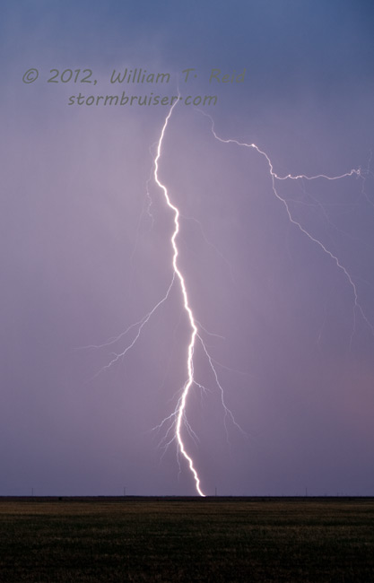
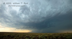
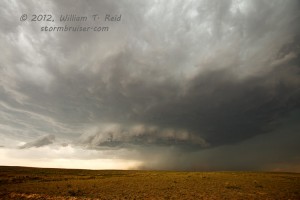
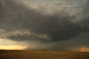
Tornado prospects were minimal, just 2 percent. We reached I-40 at Adrian (417 miles from Marfa!) and could see some development to the north, towards Dalhart, so we had a target to go after. We headed up 385 from Vega and then west out of Channing on FM 767. A fairly nice storm cell was headed south towards FM 767 some 20-25 miles west of Channing, in the midst of the road hole of Oldham and Hartley counties. The cell seemed to wrap up a bit as it crossed 767 just to our east. The base was rather high and the storm was outflowish, with areas of blowing dust near the updraft base. As the cell continued south or SSE, we were forced back east all the way to Channing and got way out of position. It didn’t matter too much, as the storm became less organized and weakened. At Vega we stopped for a pretty sunset with occasional CGs to try to photograph. The tour overnighted in Vega, and headed to OKC to drop off the T4 guests on the 2nd.

Leave a Reply
You must be logged in to post a comment.